Cape Dorset Satellite Image Map
Download Free Aerial Photo 036C02 at 1:50,000 scale
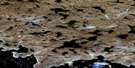
Cape Dorset Satellite Imagery
To view this satellite map, mouse over the air photo on the right.
You can also download this satellite image map for free:
036C02 Cape Dorset high-resolution satellite image map.
Maps for the Cape Dorset aerial map sheet 036C02 at 1:50,000 scale are also available in these versions:
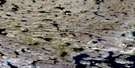
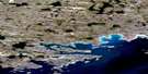
Cape Dorset Surrounding Area Aerial Photo Maps
 |
 |
 |
|
 |
 |
 |
© Department of Natural Resources Canada. All rights reserved.
Cape Dorset Gazetteer
The following places can be found on satellite image map 036C02 Cape Dorset:
Cape Dorset Satellite Image: Bays
Cape Dorset HarbourTellik Inlet
West Inlet
Cape Dorset Satellite Image: Capes
Foxe PeninsulaCape Dorset Satellite Image: Hamlets
Cape DorsetCape Dorset Satellite Image: Islands
Dorset IslandMallik Island
Okolli Island
Sakkiak Island
Sheep Island
Cape Dorset Satellite Image: Mountains
Kingnait Hill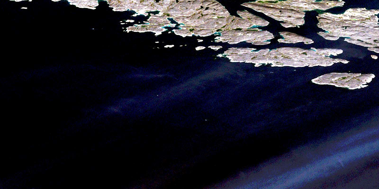
© Department of Natural Resources Canada. All rights reserved.
