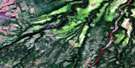
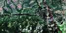
Audrey Lake Satellite Image Map
Download Free Aerial Photo 042I03 at 1:50,000 scale
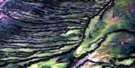
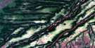
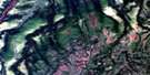
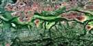
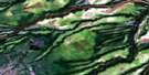
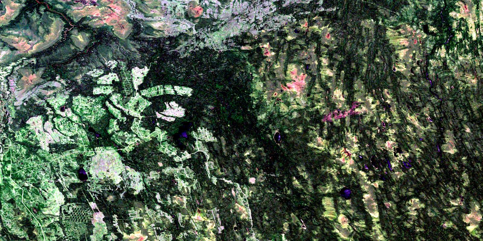
Audrey Lake Satellite Imagery
To view this satellite map, mouse over the air photo on the right.
You can also download this satellite image map for free:
042I03 Audrey Lake high-resolution satellite image map.
Maps for the Audrey Lake aerial map sheet 042I03 at 1:50,000 scale are also available in these versions:
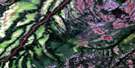
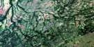
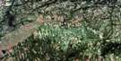
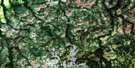
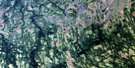
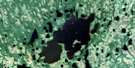
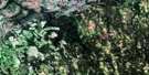
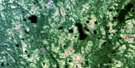
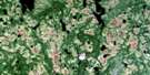
Audrey Lake Surrounding Area Aerial Photo Maps
 |
 |
 |
 |
 |
 |
 |
 |
 |
 |
 |
 |
 |
 |
 |
 |
© Department of Natural Resources Canada. All rights reserved.
Audrey Lake Gazetteer
The following places can be found on satellite image map 042I03 Audrey Lake:
Audrey Lake Satellite Image: Geographical areas
GanongHarewood
Heath
Kineras
Lewers
Parliament
Pitt
Valentine
Wacousta
Audrey Lake Satellite Image: Lakes
Audrey LakeDay Lake
Grace Lake
Harewood Lake
Kineras Lake
Lucky Lake
Audrey Lake Satellite Image: Rivers
Audrey CreekBad River
Big Cedar Creek
Bigcedar Creek
Fisher Creek
Harewood Creek
Kineras Creek
Little Abitibi River
Maund Creek
North French River
Wacousta Creek
© Department of Natural Resources Canada. All rights reserved.
042I Related Maps:
042I Moose River042I01 Ministik Lake
042I02 Mcparlon Lake
042I03 Audrey Lake
042I04 Coral
042I05 Ranoke
042I06 Lyla Lake
042I07 Wekweyaukastik Rapids
042I08 Kesagami Lake
042I09 Glaister Lake
042I10 Kiasko River
042I11 Onakawana
042I12 Pickett Creek
042I13 Birdsall Creek
042I14 Moose River
042I15 Meengan Creek
042I16 Marberg Creek
