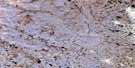
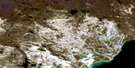
Akogotiak Hill Satellite Image Map
Download Free Aerial Photo 046B01 at 1:50,000 scale
Akogotiak Hill Satellite Imagery
To view this satellite map, mouse over the air photo on the right.
You can also download this satellite image map for free:
046B01 Akogotiak Hill high-resolution satellite image map.
Maps for the Akogotiak Hill aerial map sheet 046B01 at 1:50,000 scale are also available in these versions:
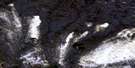
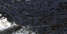
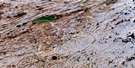
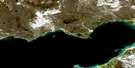
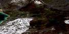
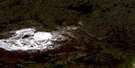
Akogotiak Hill Surrounding Area Aerial Photo Maps
 |
 |
 |
 |
 |
 |
 |
 |
© Department of Natural Resources Canada. All rights reserved.
Akogotiak Hill Gazetteer
The following places can be found on satellite image map 046B01 Akogotiak Hill:
Akogotiak Hill Satellite Image: Lakes
Tasialuk LakeAkogotiak Hill Satellite Image: Mountains
Qakutajaq HillAkogotiak Hill Satellite Image: Conservation areas
East Bay Bird SanctuaryRefuge d'oiseaux de la baie Est
Akogotiak Hill Satellite Image: Rivers
Ford River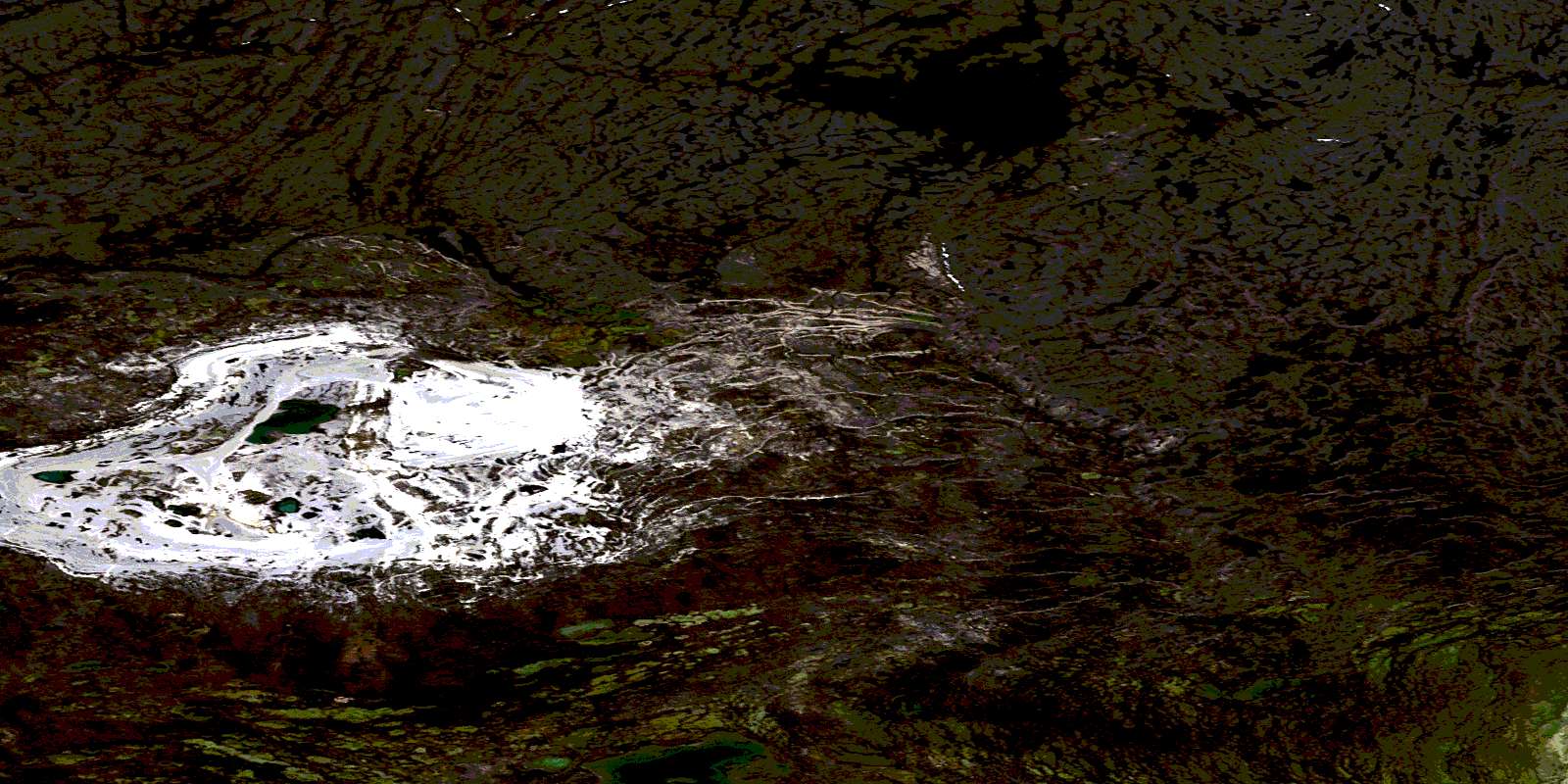
© Department of Natural Resources Canada. All rights reserved.
