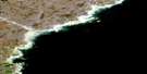
Why-Nee-Yulik Point Satellite Image Map
Download Free Aerial Photo 046E09 at 1:50,000 scale
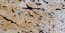
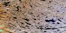
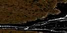
Why-Nee-Yulik Point Satellite Imagery
To view this satellite map, mouse over the air photo on the right.
You can also download this satellite image map for free:
046E09 Why-Nee-Yulik Point high-resolution satellite image map.
Maps for the Why-Nee-Yulik Point aerial map sheet 046E09 at 1:50,000 scale are also available in these versions:
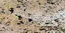
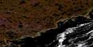
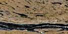
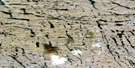
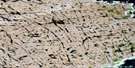
Why-Nee-Yulik Point Surrounding Area Aerial Photo Maps
 |
 |
 |
 |
 |
 |
 |
 |
 |
 |
 |
|
 |
 |
 |
 |
© Department of Natural Resources Canada. All rights reserved.
Why-Nee-Yulik Point Gazetteer
The following places can be found on satellite image map 046E09 Why-Nee-Yulik Point:
Why-Nee-Yulik Point Satellite Image: Capes
Why-Nee-Yulik PointWhy-Nee-Yulik Point Satellite Image: Channels
Roes Welcome Sound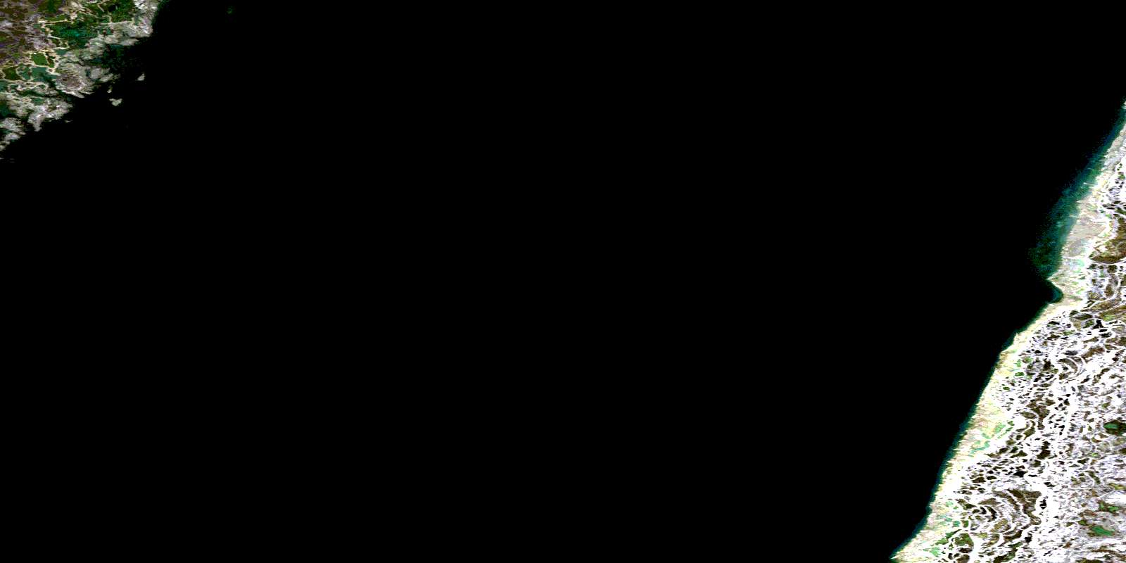
© Department of Natural Resources Canada. All rights reserved.
046E Related Maps:
046E Cape Dobbs046E01 No Title
046E02 Nuvuk Point
046E03 Cape Dobbs
046E04 No Title
046E05 No Title
046E06 Cape Montague
046E08 Battery Bay
046E09 Why-Nee-Yulik Point
046E10 Umiijarvik Point
046E11 No Title
046E12 No Title
046E13 No Title
046E14 No Title
046E15 Tassikadlak Lake
046E16 Smooth Rock Point
