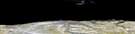
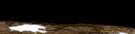
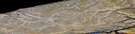
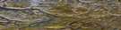
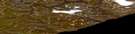
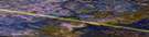
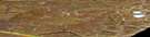
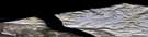
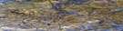
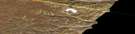
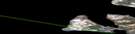
Silt Point Satellite Image Map
Download Free Aerial Photo 048C01 at 1:50,000 scale
Silt Point Satellite Imagery
To view this satellite map, mouse over the air photo on the right.
You can also download this satellite image map for free:
048C01 Silt Point high-resolution satellite image map.
Maps for the Silt Point aerial map sheet 048C01 at 1:50,000 scale are also available in these versions:
Silt Point Surrounding Area Aerial Photo Maps
 |
 |
 |
 |
 |
 |
 |
 |
 |
 |
 |
 |
 |
 |
 |
 |
© Department of Natural Resources Canada. All rights reserved.
Silt Point Gazetteer
The following places can be found on satellite image map 048C01 Silt Point:
Silt Point Satellite Image: Bays
Baillarge BayEnglish Bay
Silt Point Satellite Image: Capes
Borden PeninsulaSilt Point
Silt Point Satellite Image: Channels
Strathcona SoundSilt Point Satellite Image: Islands
Lone IslandSilt Point Satellite Image: Lakes
Kuhulu LakeKuviku Lake
Quasaqtoq Lake
Silt Point Satellite Image: Mountains
King George V MountainSilt Point Satellite Image: Rivers
Marcil CreekStrathcona River
Twin Lakes Creek
Silt Point Satellite Image: Shoals
Lone Island ShoalSilt Point Satellite Image: Unincorporated areas
Nanisivik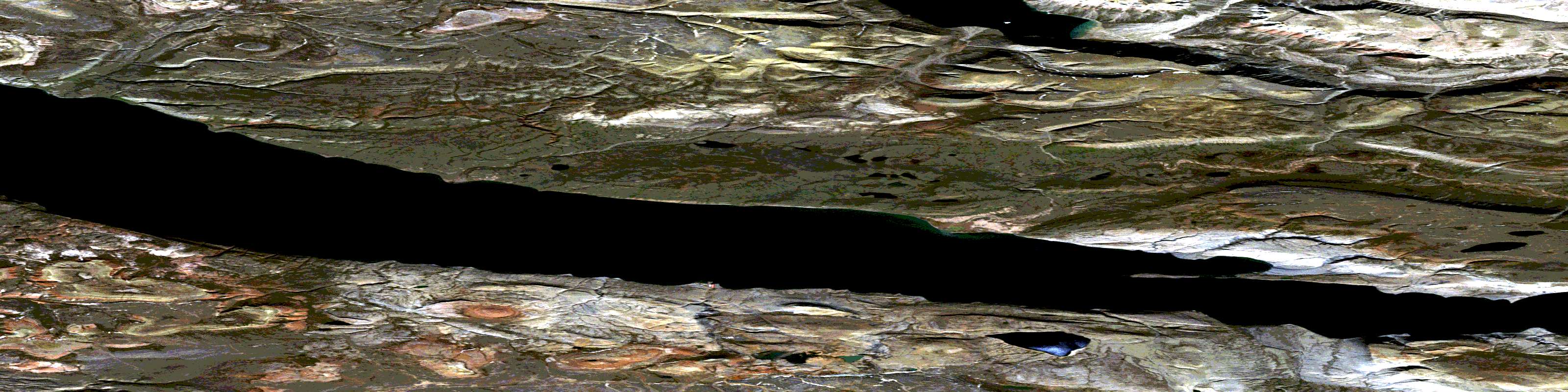
© Department of Natural Resources Canada. All rights reserved.
048C Related Maps:
048C Arctic Bay048C01 Silt Point
048C02 Uluksan Peninsula
048C03 No Title
048C04 St Joseph Plateau
048C05 No Title
048C06 No Title
048C07 No Title
048C08 Ship Point
048C09 Cape Crauford
048C10 No Title
048C11 No Title
048C12 Peak Valley
048C13 Cape York
048C14 Sargent Point
048C15 No Title
048C16 No Title
