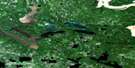
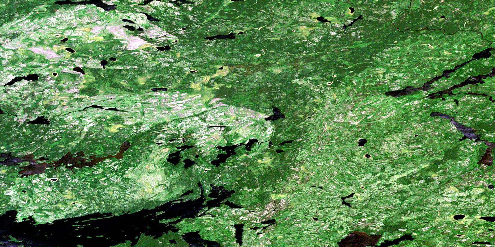
North Spirit Lake Satellite Image Map
Download Free Aerial Photo 053C10 at 1:50,000 scale
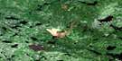
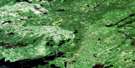
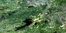
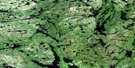
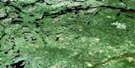
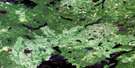
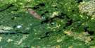
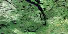
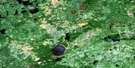
North Spirit Lake Satellite Imagery
To view this satellite map, mouse over the air photo on the right.
You can also download this satellite image map for free:
053C10 North Spirit Lake high-resolution satellite image map.
Maps for the North Spirit Lake aerial map sheet 053C10 at 1:50,000 scale are also available in these versions:
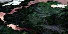
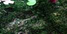
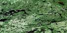
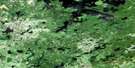
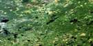
North Spirit Lake Surrounding Area Aerial Photo Maps
 |
 |
 |
 |
 |
 |
 |
 |
 |
 |
 |
 |
 |
 |
 |
 |
© Department of Natural Resources Canada. All rights reserved.
North Spirit Lake Gazetteer
The following places can be found on satellite image map 053C10 North Spirit Lake:
North Spirit Lake Satellite Image: Bays
East BayMacDonalds Bay
Peridotite Bay
North Spirit Lake Satellite Image: Capes
Prospair PointNorth Spirit Lake Satellite Image: Indian Reserves
North Spirit Lake Indian ReserveRéserve indienne North Spirit Lake
North Spirit Lake Satellite Image: Islands
Fregin IslandKachipwapikak Island
Kichiminitik Island
Memekwesi Island
North Spirit Lake Satellite Image: Lakes
Binder LakeBuckett Lake
Hawley Lakes
Iskotai Lake
Jodrell Lake
Kaness Lake
Kowastigiman Lake
Lizotte Lake
Nemakwis Lake
North Spirit Lake
Odlum Lake
Roseberry Lakes
North Spirit Lake Satellite Image: Rivers
Buckett CreekRoseberry River
© Department of Natural Resources Canada. All rights reserved.
053C Related Maps:
053C North Spirit Lake053C01 Nabimina Lake
053C02 Ollen Lake
053C03 Sampson Lake
053C04 Mcinnes Lake
053C05 Critchell Lake
053C06 Margot Lake
053C07 Hewitt Lake
053C08 Laughton Lake
053C09 Mccoy River
053C10 North Spirit Lake
053C11 Whiteloon Lake
053C12 Kember Lake
053C13 Favourable Lake
053C14 Rathouse Bay
053C15 Marugg Lake
053C16 Petownikip Lake
