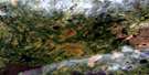
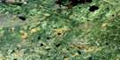
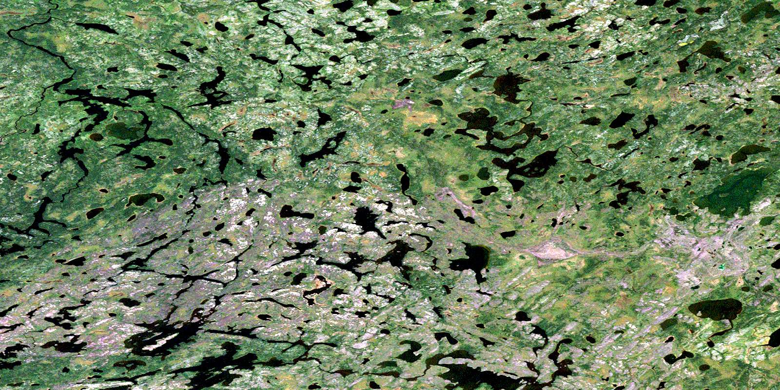
Nikitowa Lake Satellite Image Map
Download Free Aerial Photo 053G02 at 1:50,000 scale
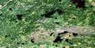
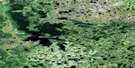
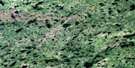
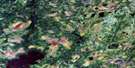
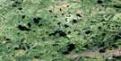
Nikitowa Lake Satellite Imagery
To view this satellite map, mouse over the air photo on the right.
You can also download this satellite image map for free:
053G02 Nikitowa Lake high-resolution satellite image map.
Maps for the Nikitowa Lake aerial map sheet 053G02 at 1:50,000 scale are also available in these versions:
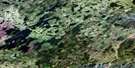
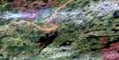
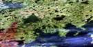
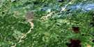
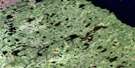
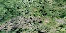
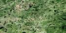
Nikitowa Lake Surrounding Area Aerial Photo Maps
 |
 |
 |
 |
 |
 |
 |
 |
 |
 |
 |
 |
 |
 |
 |
 |
© Department of Natural Resources Canada. All rights reserved.
Nikitowa Lake Gazetteer
The following places can be found on satellite image map 053G02 Nikitowa Lake:
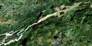
Nikitowa Lake Satellite Image: Lakes
De Blicquy LakeDrewery Lake
Eberle Lake
Nikitowa Lake
Schade Lake
Nikitowa Lake Satellite Image: Rivers
Nekikamog RiverNikitowa River
© Department of Natural Resources Canada. All rights reserved.
053G Related Maps:
053G Makoop Lake053G01 No Title
053G02 Nikitowa Lake
053G03 No Title
053G04 Sakwaso Lake
053G05 Muskrat Dam Lake
053G06 Munekun Lake
053G07 Makoop Lake
053G08 No Title
053G09 Bug Lake
053G10 Bearbone Lake
053G11 Asipoquobah Lake
053G12 No Title
053G13 No Title
053G14 Knife Lake
053G15 Severn Lake
053G16 Misikeyask Lake
