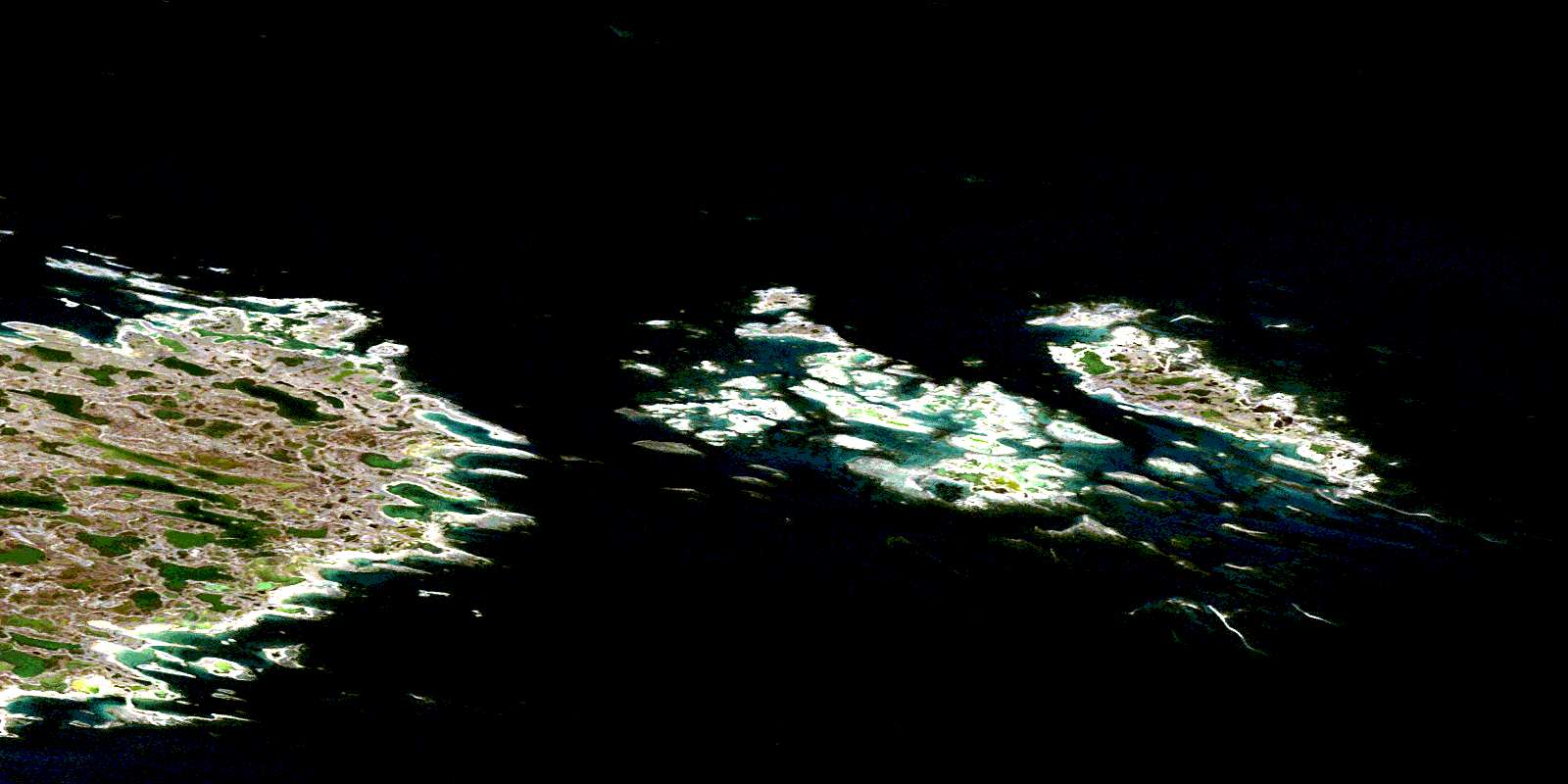
Mirage Islands Satellite Image Map
Download Free Aerial Photo 055J12 at 1:50,000 scale
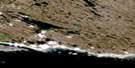
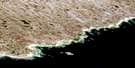
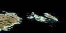
Mirage Islands Satellite Imagery
To view this satellite map, mouse over the air photo on the right.
You can also download this satellite image map for free:
055J12 Mirage Islands high-resolution satellite image map.
Maps for the Mirage Islands aerial map sheet 055J12 at 1:50,000 scale are also available in these versions:
Mirage Islands Surrounding Area Aerial Photo Maps
 |
 |
 |
|
 |
 |
||
© Department of Natural Resources Canada. All rights reserved.
Mirage Islands Gazetteer
The following places can be found on satellite image map 055J12 Mirage Islands:
Mirage Islands Satellite Image: Bays
Rankin InletMirage Islands Satellite Image: Capes
Cape JonesPangertot Peninsula
Papik Point
Mirage Islands Satellite Image: Islands
Broken IslandsCrane Island
Isle of Cairns
Kind Islet
Mirage Islands
Nedlik Island
Mirage Islands Satellite Image: Mountains
Little Pod RockMirage Islands Satellite Image: Shoals
Fairway ShoalsHidden Rock
Pin Rock
Pod Rock
Position Rock
South Shoals
Tiny Rock
© Department of Natural Resources Canada. All rights reserved.
