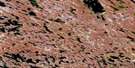
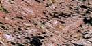
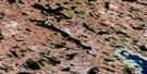
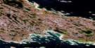
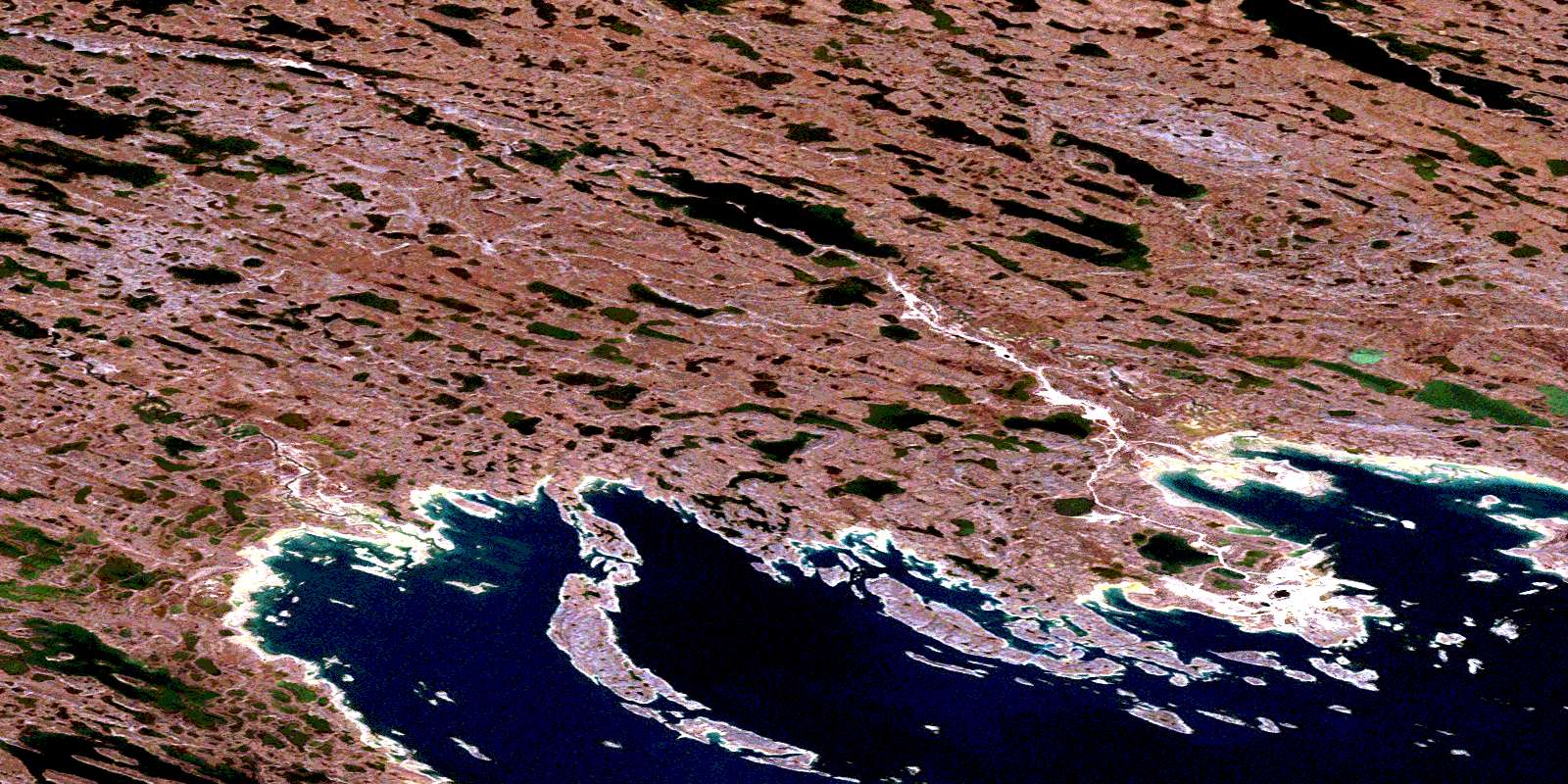
Rankin Inlet Satellite Image Map
Download Free Aerial Photo 055K16 at 1:50,000 scale
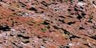
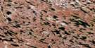
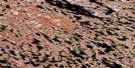
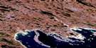
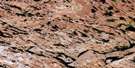
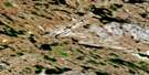
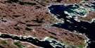
Rankin Inlet Satellite Imagery
To view this satellite map, mouse over the air photo on the right.
You can also download this satellite image map for free:
055K16 Rankin Inlet high-resolution satellite image map.
Maps for the Rankin Inlet aerial map sheet 055K16 at 1:50,000 scale are also available in these versions:
Rankin Inlet Surrounding Area Aerial Photo Maps
 |
 |
 |
 |
 |
 |
 |
 |
 |
 |
 |
 |
 |
 |
 |
© Department of Natural Resources Canada. All rights reserved.
Rankin Inlet Gazetteer
The following places can be found on satellite image map 055K16 Rankin Inlet:
Rankin Inlet Satellite Image: Bays
Johnston CoveMelvin Bay
Prairie Bay
Rankin Inlet
Silent Cove
Rankin Inlet Satellite Image: Capes
Fist PointKudlulik Peninsula
Survey Point
Tudlik Peninsula
Rankin Inlet Satellite Image: Channels
Access PassageThomson Passage
Rankin Inlet Satellite Image: Hamlets
Rankin InletRankin Inlet Satellite Image: Islands
Ahigik IslandAukpik Island
Bag Island
Barrier Islands
Buff Island
Bunting Island
Cur Island
Esker Island
Guillemot Island
Hillock Islet
Hump Island
Kango Island
Kresik Island
Leftfoot Islet
Mittik Island
Net Island
Panorama Island
Rightfoot Islet
Sanderling Island
Slab Island
Stickle Islet
Suluk Islet
Swan Island
Theron Island
Thomson Island
Rankin Inlet Satellite Image: Lakes
Cygnet LakeMeliadine Lake
Nipissak Lake
Rankin Inlet Satellite Image: Rivers
Char RiverDiana River
Meliadine River
Rankin Inlet Satellite Image: Shoals
Gig RockGuillemot Rocks
Pikuk Rock
© Department of Natural Resources Canada. All rights reserved.
