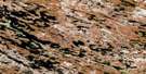
Bank Lake East Satellite Image Map
Download Free Aerial Photo 055M01 at 1:50,000 scale
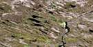
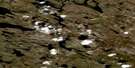
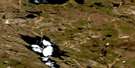
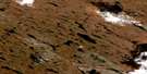
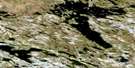
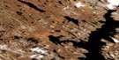
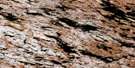
Bank Lake East Satellite Imagery
To view this satellite map, mouse over the air photo on the right.
You can also download this satellite image map for free:
055M01 Bank Lake East high-resolution satellite image map.
Maps for the Bank Lake East aerial map sheet 055M01 at 1:50,000 scale are also available in these versions:
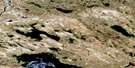
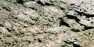
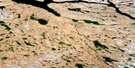
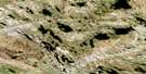
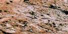
Bank Lake East Surrounding Area Aerial Photo Maps
 |
 |
 |
 |
 |
 |
 |
 |
 |
 |
 |
 |
 |
 |
 |
 |
© Department of Natural Resources Canada. All rights reserved.
Bank Lake East Gazetteer
The following places can be found on satellite image map 055M01 Bank Lake East:
Bank Lake East Satellite Image: Lakes
Banks Lake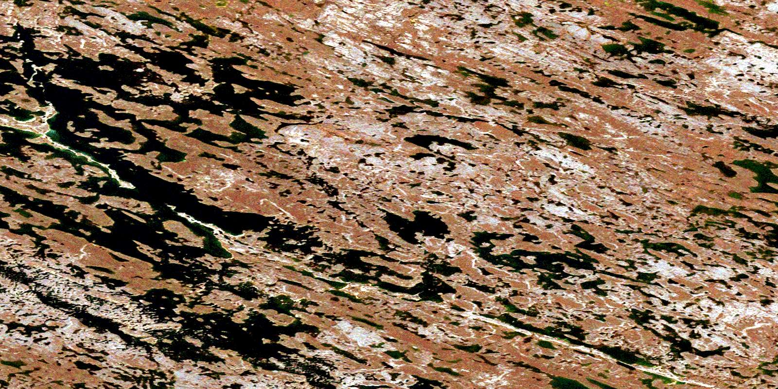
© Department of Natural Resources Canada. All rights reserved.
055M Related Maps:
055M Macquoid Lake055M01 Bank Lake East
055M02 Banks Lake West
055M03 No Title
055M04 No Title
055M05 No Title
055M06 Parker Lake South
055M07 Macquoid Lake
055M08 No Title
055M09 No Title
055M10 No Title
055M11 Parker Lake North
055M12 Kazan Falls
055M13 No Title
055M14 Martell Lake
055M15 Andrews Lake
055M16 Cone Hill
