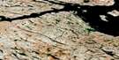
Robinhood Bay Satellite Image Map
Download Free Aerial Photo 055N16 at 1:50,000 scale
Robinhood Bay Satellite Imagery
To view this satellite map, mouse over the air photo on the right.
You can also download this satellite image map for free:
055N16 Robinhood Bay high-resolution satellite image map.
Maps for the Robinhood Bay aerial map sheet 055N16 at 1:50,000 scale are also available in these versions:
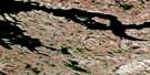
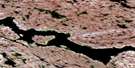
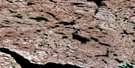
Robinhood Bay Surrounding Area Aerial Photo Maps
 |
 |
 |
 |
 |
 |
 |
 |
 |
 |
 |
 |
 |
 |
 |
 |
© Department of Natural Resources Canada. All rights reserved.
Robinhood Bay Gazetteer
The following places can be found on satellite image map 055N16 Robinhood Bay:
Robinhood Bay Satellite Image: Bays
Chesterfield InletRobinhood Bay
Robinhood Bay Satellite Image: Capes
Conway PointRobinhood Bay Satellite Image: Islands
Patch Island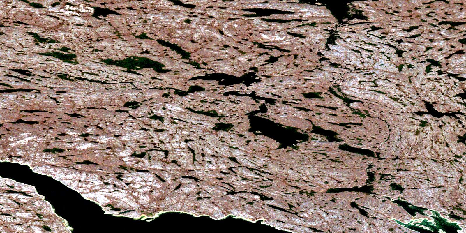
© Department of Natural Resources Canada. All rights reserved.
055N Related Maps:
055N Gibson Lake055N01 Meliadine Lake
055N02 No Title
055N03 No Title
055N04 No Title
055N05 No Title
055N06 Gibson Lake
055N07 No Title
055N08 Mcmanaman Lake
055N09 Barbour Bay
055N10 Butts Lake
055N11 No Title
055N12 No Title
055N13 Round Island
055N14 Bowser Island
055N15 Akunak Bay
055N16 Robinhood Bay
