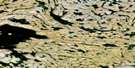
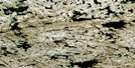
Whitehills Lake Satellite Image Map
Download Free Aerial Photo 056D12 at 1:50,000 scale
Whitehills Lake Satellite Imagery
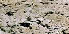
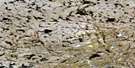
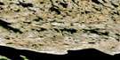
To view this satellite map, mouse over the air photo on the right.
You can also download this satellite image map for free:
056D12 Whitehills Lake high-resolution satellite image map.
Maps for the Whitehills Lake aerial map sheet 056D12 at 1:50,000 scale are also available in these versions:
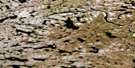
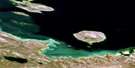
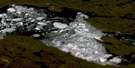
Whitehills Lake Surrounding Area Aerial Photo Maps
 |
 |
 |
 |
 |
 |
 |
 |
 |
 |
 |
 |
 |
 |
 |
 |
© Department of Natural Resources Canada. All rights reserved.
Whitehills Lake Gazetteer
The following places can be found on satellite image map 056D12 Whitehills Lake:
Whitehills Lake Satellite Image: Lakes
Whitehills Lake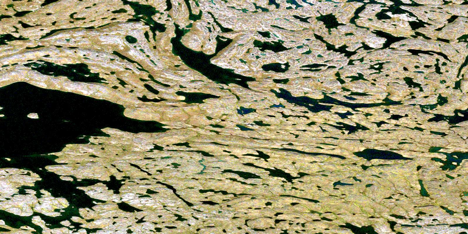
© Department of Natural Resources Canada. All rights reserved.
056D Related Maps:
056D Baker Lake056D01 Rio Island
056D02 Christopher Island
056D03 Tanataluk Islands
056D04 Big Hips Island
056D05 Akilahaarjuk Mountain
056D06 Evitarulik Lake
056D07 No Title
056D08 No Title
056D09 No Title
056D10 No Title
056D11 Kingaruugnak Hill
056D12 Whitehills Lake
056D13 Tehek Lake
056D14 No Title
056D15 No Title
056D16 No Title
