Kull Island Satellite Image Map
Download Free Aerial Photo 057D11 at 1:50,000 scale
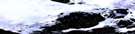
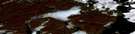
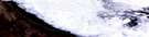
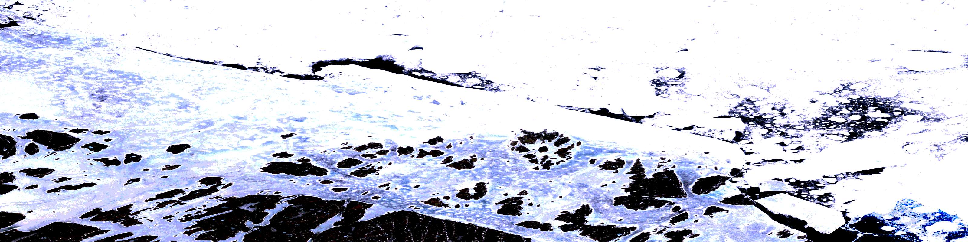
Kull Island Satellite Imagery
To view this satellite map, mouse over the air photo on the right.
You can also download this satellite image map for free:
057D11 Kull Island high-resolution satellite image map.
Maps for the Kull Island aerial map sheet 057D11 at 1:50,000 scale are also available in these versions:
Kull Island Surrounding Area Aerial Photo Maps
 |
|||
 |
 |
||
 |
 |
||
 |
 |
 |
 |
© Department of Natural Resources Canada. All rights reserved.
Kull Island Gazetteer
The following places can be found on satellite image map 057D11 Kull Island:
Kull Island Satellite Image: Bays
Gulf of BoothiaKull Island Satellite Image: Capes
Kiglavait PeninsulaTikiraq Peninsula
Kull Island Satellite Image: Islands
Kull IslandQikiqtarjuaraarjuk Island
Tukingasuarusiq Island
Kull Island Satellite Image: Mountains
Naujaarjuk HillKull Island Satellite Image: Rivers
Iqaluvigjuaq InletSulluq Inlet
© Department of Natural Resources Canada. All rights reserved.
