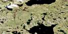
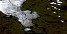
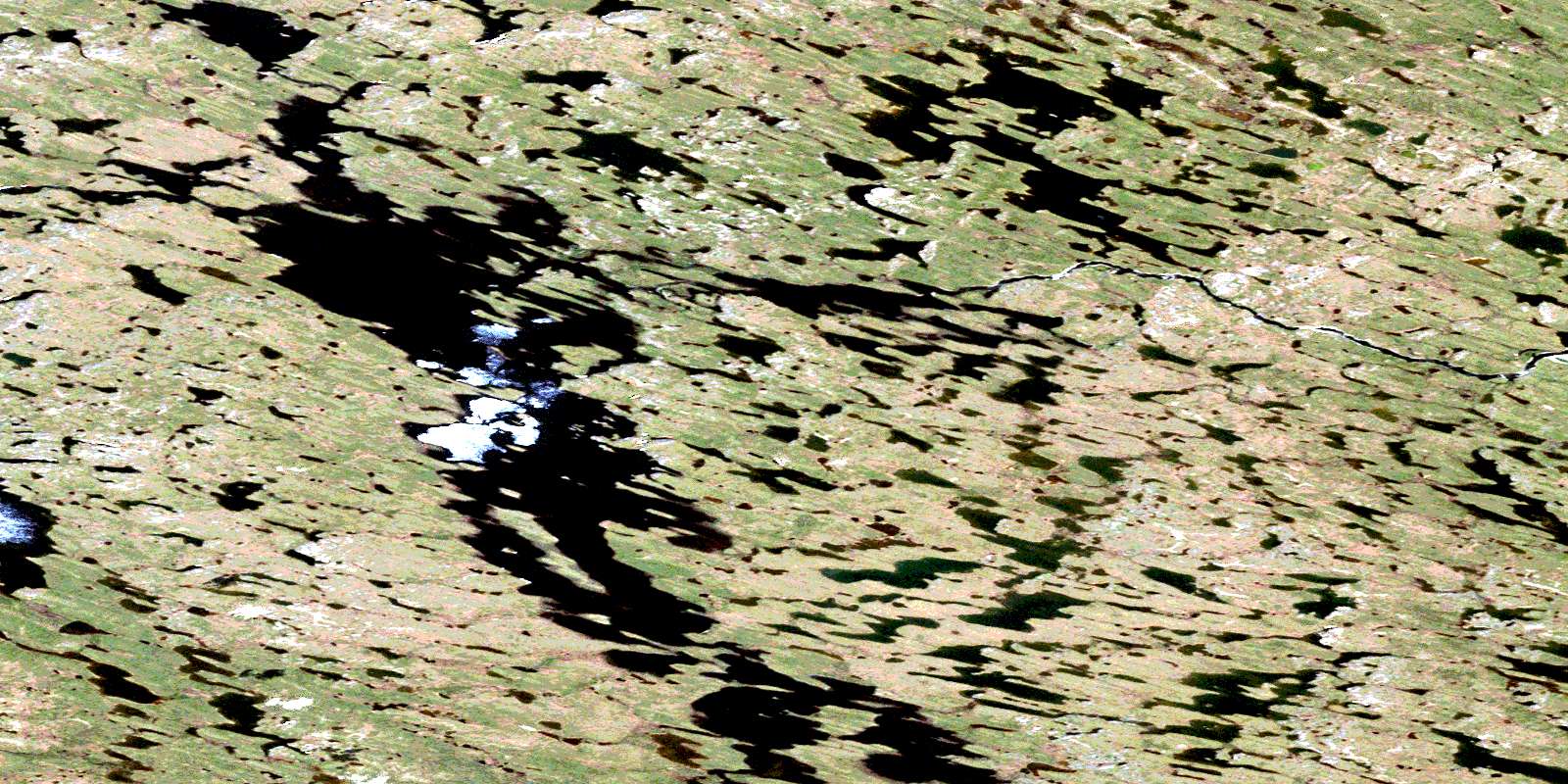
Heninga Lake Satellite Image Map
Download Free Aerial Photo 065H16 at 1:50,000 scale
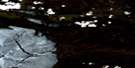
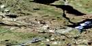
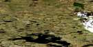
Heninga Lake Satellite Imagery
To view this satellite map, mouse over the air photo on the right.
You can also download this satellite image map for free:
065H16 Heninga Lake high-resolution satellite image map.
Maps for the Heninga Lake aerial map sheet 065H16 at 1:50,000 scale are also available in these versions:
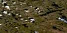
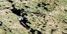
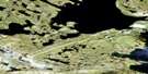
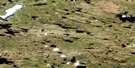
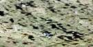
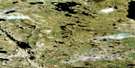
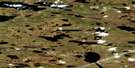
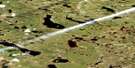
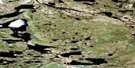
Heninga Lake Surrounding Area Aerial Photo Maps
 |
 |
 |
 |
 |
 |
 |
 |
 |
 |
 |
 |
 |
 |
 |
 |
© Department of Natural Resources Canada. All rights reserved.
Heninga Lake Gazetteer
The following places can be found on satellite image map 065H16 Heninga Lake:
Heninga Lake Satellite Image: Lakes
Heninga LakeMaguse Lake
Yandle Lake
Heninga Lake Satellite Image: Rivers
Kogtok RiverMaguse River
Noomut River
© Department of Natural Resources Canada. All rights reserved.
065H Related Maps:
065H South Henik Lake065H01 Ray Lake
065H02 No Title
065H03 Roseblade Lake
065H04 No Title
065H05 Montgomery Lake
065H06 South Henik Lake
065H07 Savard Lake
065H08 No Title
065H09 Ayotte Lake
065H10 Harling Lake
065H11 Ameto Lake
065H12 Oftedal Lake
065H13 No Title
065H14 No Title
065H15 Padlei River
065H16 Heninga Lake
