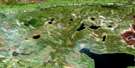
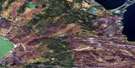
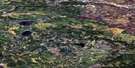
Mcaneeley Lake Satellite Image Map
Download Free Aerial Photo 074C07 at 1:50,000 scale
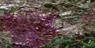
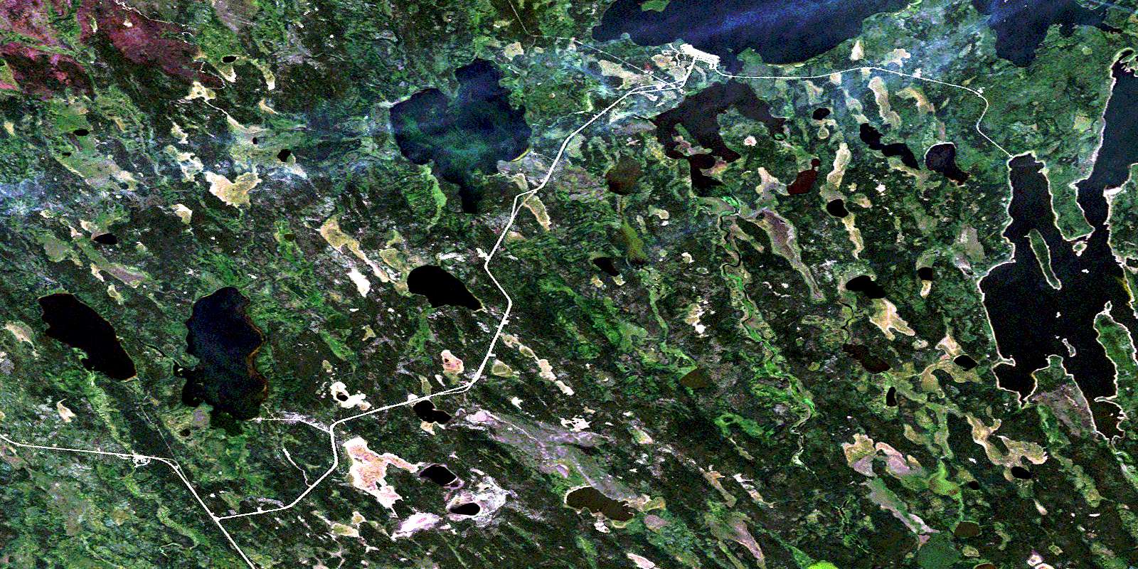
Mcaneeley Lake Satellite Imagery
To view this satellite map, mouse over the air photo on the right.
You can also download this satellite image map for free:
074C07 Mcaneeley Lake high-resolution satellite image map.
Maps for the Mcaneeley Lake aerial map sheet 074C07 at 1:50,000 scale are also available in these versions:
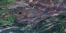
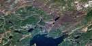
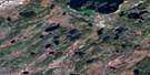
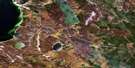
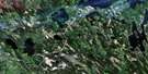
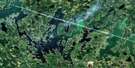
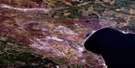
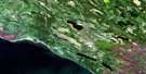
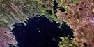
Mcaneeley Lake Surrounding Area Aerial Photo Maps
 |
 |
 |
 |
 |
 |
 |
 |
 |
 |
 |
 |
 |
 |
 |
 |
© Department of Natural Resources Canada. All rights reserved.
Mcaneeley Lake Gazetteer
The following places can be found on satellite image map 074C07 Mcaneeley Lake:
Mcaneeley Lake Satellite Image: Bays
Mikikwan BayNipawin Bay
Mcaneeley Lake Satellite Image: Capes
Neyabiskaw PointWanatan Peninsula
Mcaneeley Lake Satellite Image: Hamlets
Bear CreekTurnor Lake
Mcaneeley Lake Satellite Image: Indian Reserves
La Loche Indian Reserve 222Réserve indienne La Loche 222
Turnor Lake 193B
Mcaneeley Lake Satellite Image: Islands
Harrington IslandPinaskau Island
Mcaneeley Lake Satellite Image: Lakes
Derbyshire LakeFrobisher Lake
Lindenbach Lake
Linvall Lake
McAneeley Lake
Palmbere Lake
Pourbaix Lake
Pourbaix Lakes
Turnor Lake
Mcaneeley Lake Satellite Image: Rivers
Bear CreekMikikwan River
© Department of Natural Resources Canada. All rights reserved.
074C Related Maps:
074C La Loche074C01 Singleton Lake
074C02 Mccoy Lake
074C03 Hay Point
074C04 Mcadam Lake
074C05 Garson Lake
074C06 Mclean Lake
074C07 Mcaneeley Lake
074C08 Frobisher Lake
074C09 Josephson Lake
074C10 Turnor Lake
074C11 Mclean River
074C12 Wallis Bay
074C13 Heise Lake
074C14 Tocker Lake
074C15 Mackie Rapids
074C16 Mc Arter Lake
