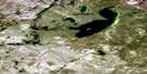
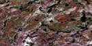
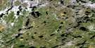
Weitzel Lake Satellite Image Map
Download Free Aerial Photo 074G10 at 1:50,000 scale
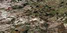
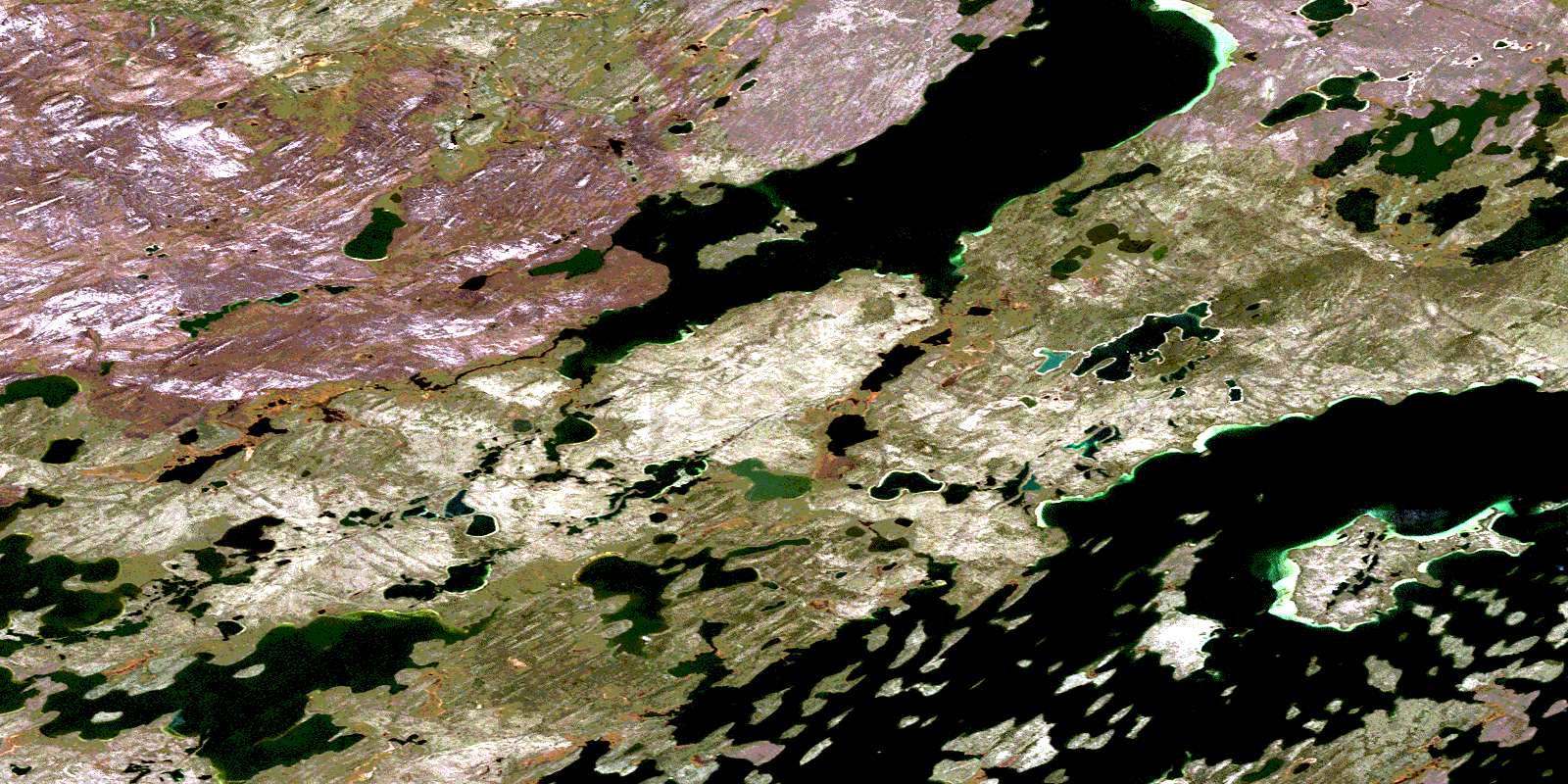
Weitzel Lake Satellite Imagery
To view this satellite map, mouse over the air photo on the right.
You can also download this satellite image map for free:
074G10 Weitzel Lake high-resolution satellite image map.
Maps for the Weitzel Lake aerial map sheet 074G10 at 1:50,000 scale are also available in these versions:
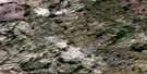
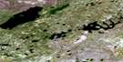
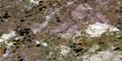
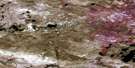
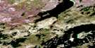
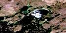
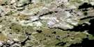
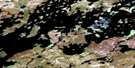
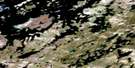
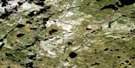
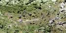
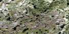
Weitzel Lake Surrounding Area Aerial Photo Maps
 |
 |
 |
 |
 |
 |
 |
 |
 |
 |
 |
 |
 |
 |
 |
 |
© Department of Natural Resources Canada. All rights reserved.
Weitzel Lake Gazetteer
The following places can be found on satellite image map 074G10 Weitzel Lake:
Weitzel Lake Satellite Image: Bays
Dunlop BayFinch Bay
Waite Bay
Weitzel Lake Satellite Image: Islands
Davidson IslandIspatinow Island
Johns Island
Stauble Island
Weitzel Island
Weitzel Lake Satellite Image: Lakes
Cree LakeGroat Lake
James Lake
Kercher Lake
Lansdowne Lake
Pagen Lake
Rowan Lake
Weitzel Lake
Weitzel Lake Satellite Image: Rivers
Martin RiverScott Creek
© Department of Natural Resources Canada. All rights reserved.
074G Related Maps:
074G Cree Lake074G01 Grassick Lake
074G02 American Lake
074G03 Esker Lake
074G04 Nyberg Lakes
074G05 Dufferin Lake
074G06 Warnes Lake
074G07 Ispatinow Island
074G08 Macintyre Lake
074G09 Middleton Island
074G10 Weitzel Lake
074G11 Isolation Lake
074G12 Lisgar Lakes
074G13 Norseman Lake
074G14 Mayson Lake
074G15 Engemann Lake
074G16 Timson Lake
