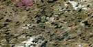
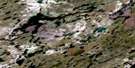
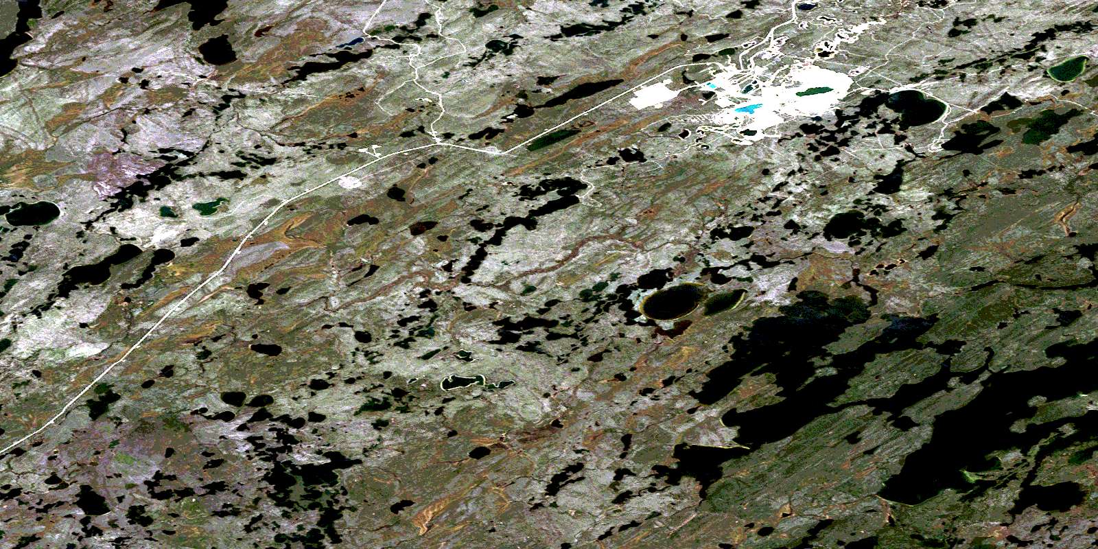
Zimmer Lake Satellite Image Map
Download Free Aerial Photo 074H04 at 1:50,000 scale
Zimmer Lake Satellite Imagery
To view this satellite map, mouse over the air photo on the right.
You can also download this satellite image map for free:
074H04 Zimmer Lake high-resolution satellite image map.
Maps for the Zimmer Lake aerial map sheet 074H04 at 1:50,000 scale are also available in these versions:
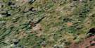
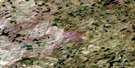
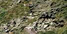
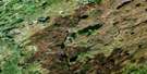
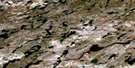
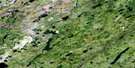
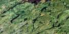
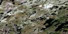
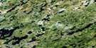
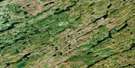
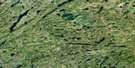
Zimmer Lake Surrounding Area Aerial Photo Maps
 |
 |
 |
 |
 |
 |
 |
 |
 |
 |
 |
 |
 |
 |
 |
 |
© Department of Natural Resources Canada. All rights reserved.
Zimmer Lake Gazetteer
The following places can be found on satellite image map 074H04 Zimmer Lake:
Zimmer Lake Satellite Image: Bays
Grest BayNelson Bay
Parker Bay
Scott Bay
Zimmer Lake Satellite Image: Islands
Johnson IslandMcGugan Island
Zimmer Lake Satellite Image: Lakes
Brown LakeCostigan Lake
Graham Lake
Highrock Lake
Key Lake
McDonald Lake
McMillan Lakes
Wheeler Lake
Zimmer Lake
Zimmer Lake Satellite Image: Rivers
Campbell CreekDavies Creek
Wheeler River
© Department of Natural Resources Canada. All rights reserved.
074H Related Maps:
074H Geikie River074H01 Bailey Lake
074H02 Alexander Lake
074H03 Lockwood Lake
074H04 Zimmer Lake
074H05 Colquhoun Lake
074H06 Russell Lake
074H07 Hodges Lake
074H08 Beckett Lake
074H09 Mcdowell Lake
074H10 Keefe Lake
074H11 Hughes Lake
074H12 Friesen Lake
074H13 Rabinovitch Lake
074H14 Kirsch Lake
074H15 Close Lake
074H16 Poulton Lake
