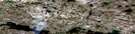
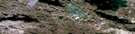
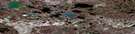
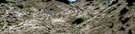
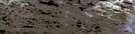
Cambridge Bay Satellite Image Map
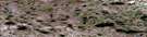
Download Free Aerial Photo 077D02 at 1:50,000 scale
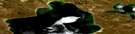
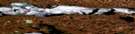
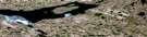
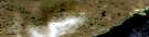
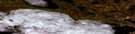
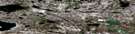
Cambridge Bay Satellite Imagery
To view this satellite map, mouse over the air photo on the right.
You can also download this satellite image map for free:
077D02 Cambridge Bay high-resolution satellite image map.
Maps for the Cambridge Bay aerial map sheet 077D02 at 1:50,000 scale are also available in these versions:
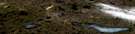
Cambridge Bay Surrounding Area Aerial Photo Maps
 |
 |
 |
 |
 |
 |
 |
 |
 |
 |
 |
 |
 |
 |
 |
 |
© Department of Natural Resources Canada. All rights reserved.
Cambridge Bay Gazetteer
The following places can be found on satellite image map 077D02 Cambridge Bay:
Cambridge Bay Satellite Image: Bays
Cambridge BayStarvation Cove
West Arm
Cambridge Bay Satellite Image: Capes
Flagstaff PointLong Point
Cambridge Bay Satellite Image: Channels
Dease StraitCambridge Bay Satellite Image: Hamlets
Cambridge BayCambridge Bay Satellite Image: Islands
Duncan IslandFinlayson Islands
Jago Islet
Nicol Island
Unahitak Island
Victoria Island
Cambridge Bay Satellite Image: Lakes
Greiner LakeKitiga Lake
Cambridge Bay Satellite Image: Mountains
Augustus HillsCambridge Bay Satellite Image: Rivers
Freshwater CreekCambridge Bay Satellite Image: Shoals
Simpson Rock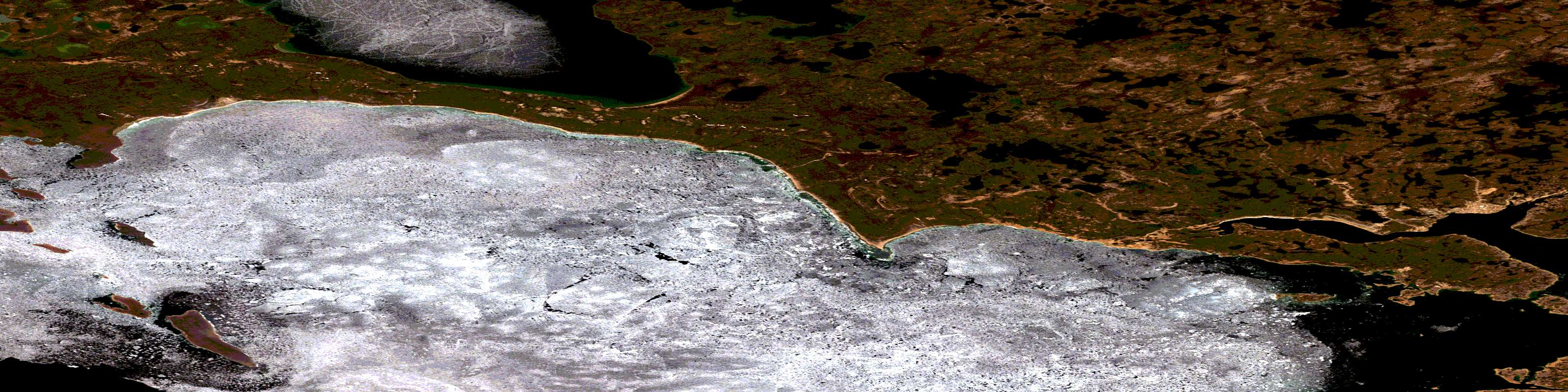
© Department of Natural Resources Canada. All rights reserved.
077D Related Maps:
077D Cambridge Bay077D01E Mt Pelly
077D01W Mt Pelly
077D02E Cambridge Bay
077D02W Cambridge Bay
077D03 Cape Enterprise
077D04 Cape Peel
077D05 No Title
077D06 Wellington Bay
077D07E No Title
077D07W No Title
077D08E No Title
077D08W No Title
077D09 No Title
077D10 No Title
077D11 Sussex Hills
077D12 Surrey Lake
077D13 No Title
077D14 No Title
077D15 No Title
077D16 No Title
