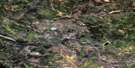
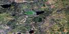
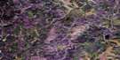
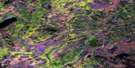
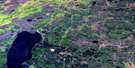
North Wabasca Lake Satellite Image Map
Download Free Aerial Photo 084A04 at 1:50,000 scale
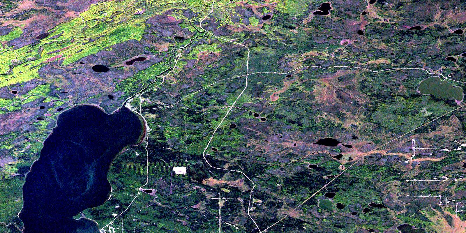
North Wabasca Lake Satellite Imagery
To view this satellite map, mouse over the air photo on the right.
You can also download this satellite image map for free:
084A04 North Wabasca Lake high-resolution satellite image map.
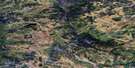
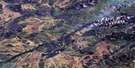
Maps for the North Wabasca Lake aerial map sheet 084A04 at 1:50,000 scale are also available in these versions:
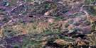
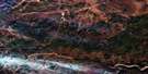
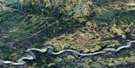
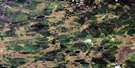
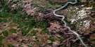
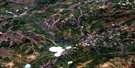
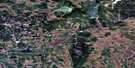
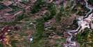
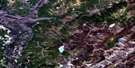
North Wabasca Lake Surrounding Area Aerial Photo Maps
 |
 |
 |
 |
 |
 |
 |
 |
 |
 |
 |
 |
 |
 |
 |
 |
© Department of Natural Resources Canada. All rights reserved.
North Wabasca Lake Gazetteer
The following places can be found on satellite image map 084A04 North Wabasca Lake:
North Wabasca Lake Satellite Image: Indian Reserves
Wabasca 166CNorth Wabasca Lake Satellite Image: Lakes
Kamistikowik LakeNorth Wabasca Lake
North Wabiskaw Lake
North Wabasca Lake Satellite Image: Major municipal/district area - major agglomerations
Municipal District of Opportunity No. 17North Wabasca Lake Satellite Image: Other municipal/district area - miscellaneous
Improvement District No. 17North Wabasca Lake Satellite Image: Rivers
Muskwa RiverWabasca River
Wabiskaw River
© Department of Natural Resources Canada. All rights reserved.
084A Related Maps:
084A Algar Lake084A01 House River
084A02 Boivin Creek
084A03 Horsetail Lake
084A04 North Wabasca Lake
084A05 Tepee Lake
084A06 Wood Buffalo Lake
084A07 Livock River
084A08 Algar Lake
084A09 Boiler Rapids
084A10 Brule Point
084A11 Blanchet Lake
084A12 Woodenhouse River
084A13 Liege River
084A14 Mink Lake
084A15 Dunkirk River
084A16 Birchwood Creek
