Canada Topographic Maps

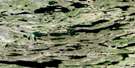
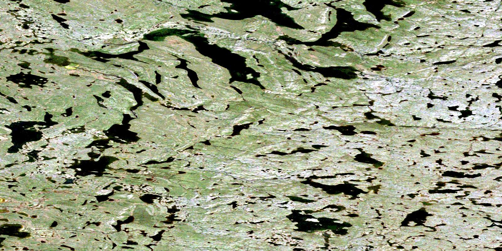
Cowles Lake Satellite Image Map

Download Free Aerial Photo 086H14 at 1:50,000 scale

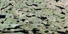
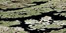
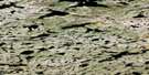
Cowles Lake Satellite Imagery

To view this satellite map, mouse over the air photo on the right.

You can also download this satellite image map for free:
086H14 Cowles Lake high-resolution satellite image map.

Maps for the Cowles Lake aerial map sheet 086H14 at 1:50,000 scale are also available in these versions:

  1. Buy Digital Topo Maps on Data-DVD
  2. Buy Waterproof Topographic Map
  3. Buy Topographic Paper Map
  4. Free Digital Topo Map

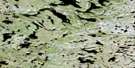
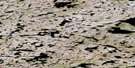
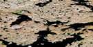
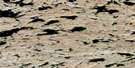
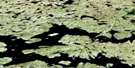
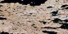
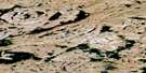
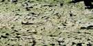
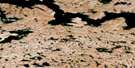
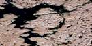
Cowles Lake Surrounding Area Aerial Photo Maps

086H13 Carousel Lake Aerial Satellite Photo Thumbnail 086H14 Cowles Lake Aerial Satellite Photo Thumbnail 086H15 No Title Aerial Satellite Photo Thumbnail 086H16 Rockinghorse Lake Aerial Satellite Photo Thumbnail
086H12 Ambush Lake Aerial Satellite Photo Thumbnail 086H11 No Title Aerial Satellite Photo Thumbnail 086H10 No Title Aerial Satellite Photo Thumbnail 086H09 No Title Aerial Satellite Photo Thumbnail
086H05 No Title Aerial Satellite Photo Thumbnail 086H06 No Title Aerial Satellite Photo Thumbnail 086H07 No Title Aerial Satellite Photo Thumbnail 086H08 No Title Aerial Satellite Photo Thumbnail
086H04 No Title Aerial Satellite Photo Thumbnail 086H03 No Title Aerial Satellite Photo Thumbnail 086H02 No Title Aerial Satellite Photo Thumbnail 086H01 No Title Aerial Satellite Photo Thumbnail
© Department of Natural Resources Canada. All rights reserved.

Cowles Lake Gazetteer

The following places can be found on satellite image map 086H14 Cowles Lake:

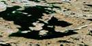
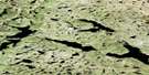
Cowles Lake Satellite Image: Lakes

Cowles Lake
Dromedary Lake
Dromedary Lake
Air photo: Cowles Lake Satellite Image map 086H14 at 1:50,000 Scale
© Department of Natural Resources Canada. All rights reserved.
 
Buy Topographic Maps DVD
Newsletter Sign-up

Yes, I want to receive map store discounts.


Bookmark and Share