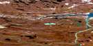
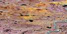
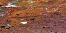
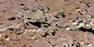
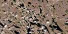
All Night Lake Satellite Image Map
Download Free Aerial Photo 086O03 at 1:50,000 scale
All Night Lake Satellite Imagery
To view this satellite map, mouse over the air photo on the right.
You can also download this satellite image map for free:
086O03 All Night Lake high-resolution satellite image map.
Maps for the All Night Lake aerial map sheet 086O03 at 1:50,000 scale are also available in these versions:
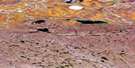
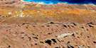
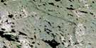
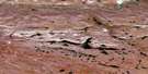
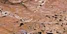
All Night Lake Surrounding Area Aerial Photo Maps
 |
 |
 |
 |
 |
 |
 |
 |
 |
 |
 |
 |
 |
 |
 |
 |
© Department of Natural Resources Canada. All rights reserved.
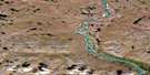
All Night Lake Gazetteer
The following places can be found on satellite image map 086O03 All Night Lake:
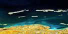
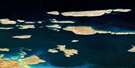
All Night Lake Satellite Image: Lakes
All Night LakeCanoe Lake
Drill Lake
Speers Lake
Transition Lake
All Night Lake Satellite Image: Rivers
Melville Creek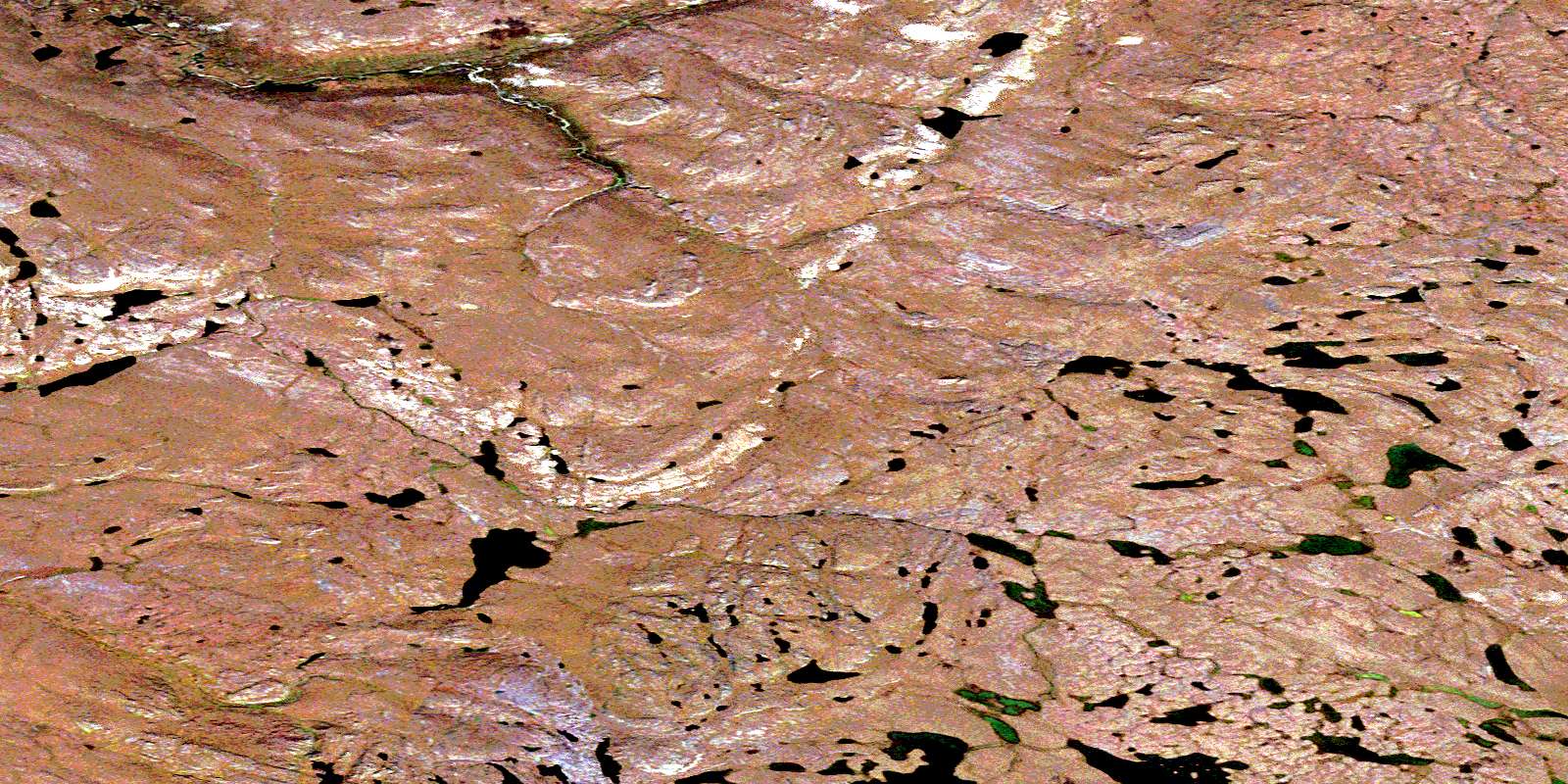
© Department of Natural Resources Canada. All rights reserved.
086O Related Maps:
086O Coppermine086O01 Ataniriik Lake
086O02 No Title
086O03 All Night Lake
086O04 No Title
086O05 Burnt Creek
086O06 No Title
086O07 No Title
086O08 No Title
086O09 No Title
086O10 No Title
086O11 Escape Rapids
086O12 No Title
086O13 No Title
086O14 Richardson Bay
086O15 Seven Mile Island
086O16 No Title
