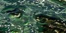
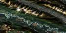
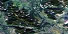
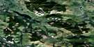
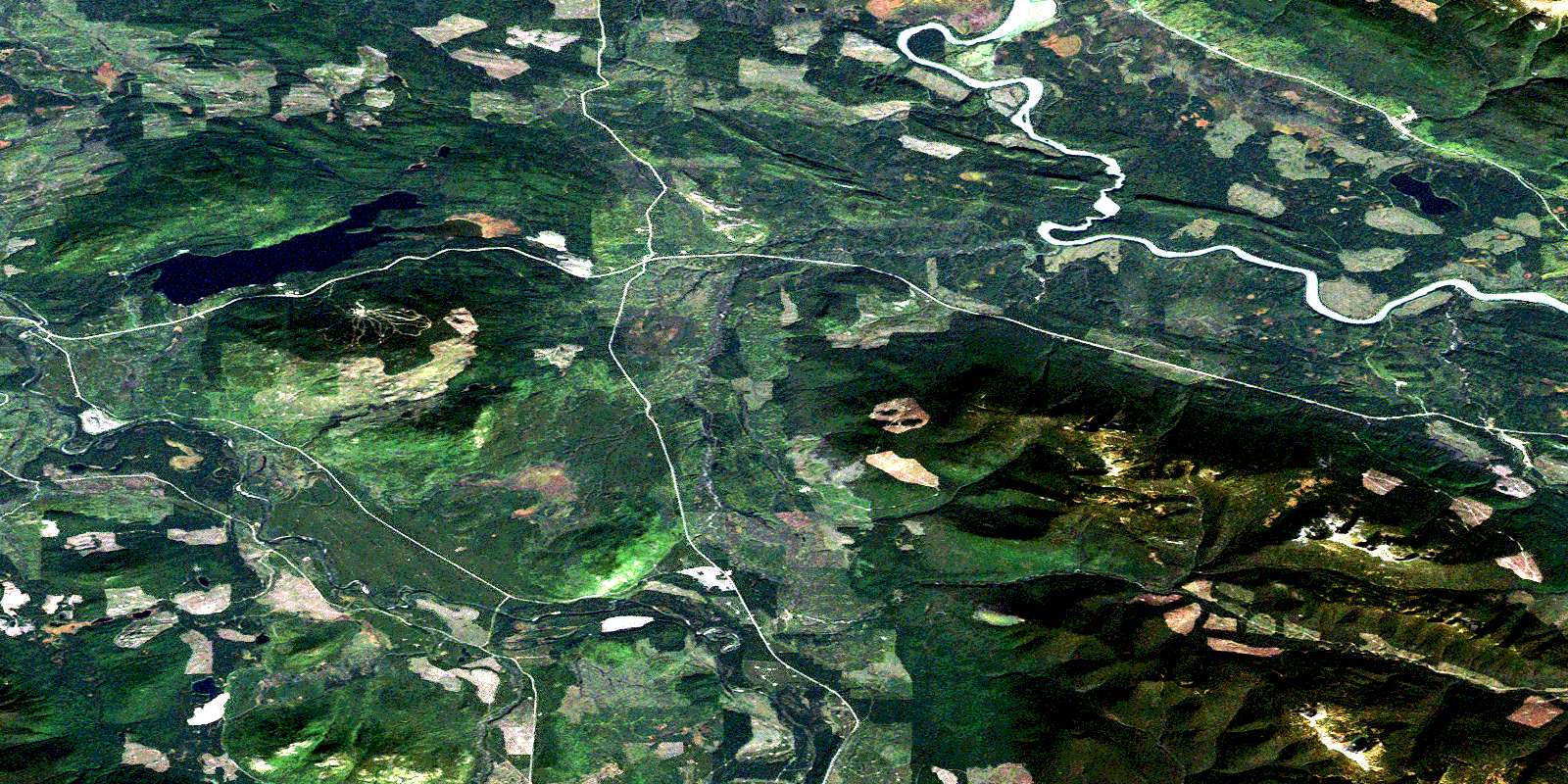
Hutton Satellite Image Map
Download Free Aerial Photo 093H13 at 1:50,000 scale
Hutton Satellite Imagery
To view this satellite map, mouse over the air photo on the right.
You can also download this satellite image map for free:
093H13 Hutton high-resolution satellite image map.
Maps for the Hutton aerial map sheet 093H13 at 1:50,000 scale are also available in these versions:
Hutton Surrounding Area Aerial Photo Maps
 |
 |
 |
 |
 |
 |
 |
 |
 |
 |
 |
 |
 |
 |
 |
 |
© Department of Natural Resources Canada. All rights reserved.
Hutton Gazetteer
The following places can be found on satellite image map 093H13 Hutton:
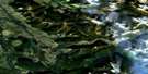
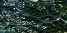
Hutton Satellite Image: Lakes
Pritchard LakePurden Lake
Siwash Lake
Toneko Lake
Hutton Satellite Image: Mountains
Mount PurdenSugarbowl Mountain
Hutton Satellite Image: Major municipal/district area - major agglomerations
Regional District of Fraser-Fort GeorgeHutton Satellite Image: Conservation areas
Purden Lake ParkSugarbowl - Grizzly Den Park
Hutton Satellite Image: Plains
Fraser PlateauInterior Plateau
McGregor Plateau
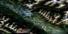
Hutton Satellite Image: Rapids
Scow RapidsHutton Satellite Image: Rivers
Bowron RiverCluculz Creek
Fly Creek
Fraser River
Grizzly Bear Creek
Hah Creek
Hiyu Creek
Hungary Creek
Kenneth Creek
Moxley Creek
Nitza Creek
Saw Creek
Stevens Creek
Sugarbowl Creek
Swamp Creek
Taspai Creek
Tenaskli Creek
Toneko Creek
Tsus Creek
Wolfe Creek
Hutton Satellite Image: Unincorporated areas
HuttonHutton Mills (Hutton Sett.-Étab.)
Hutton Satellite Image: Valleys
Grand CanyonRocky Mountain Trench
© Department of Natural Resources Canada. All rights reserved.
093H Related Maps:
093H Mcbride093H01 Eddy
093H02 Lanezi Lake
093H03 Spectacle Lakes
093H04 Wells
093H05 Stony Lake
093H06 Indianpoint Lake
093H07 Goat River
093H08 Mcbride
093H09 Mount Rider
093H10 Loos
093H11 Dome Creek
093H12 Narrow Lake
093H13 Hutton
093H14 Penny
093H15 Walker Creek
093H16 Mount Sir Alexander
