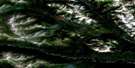
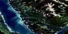
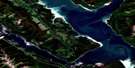
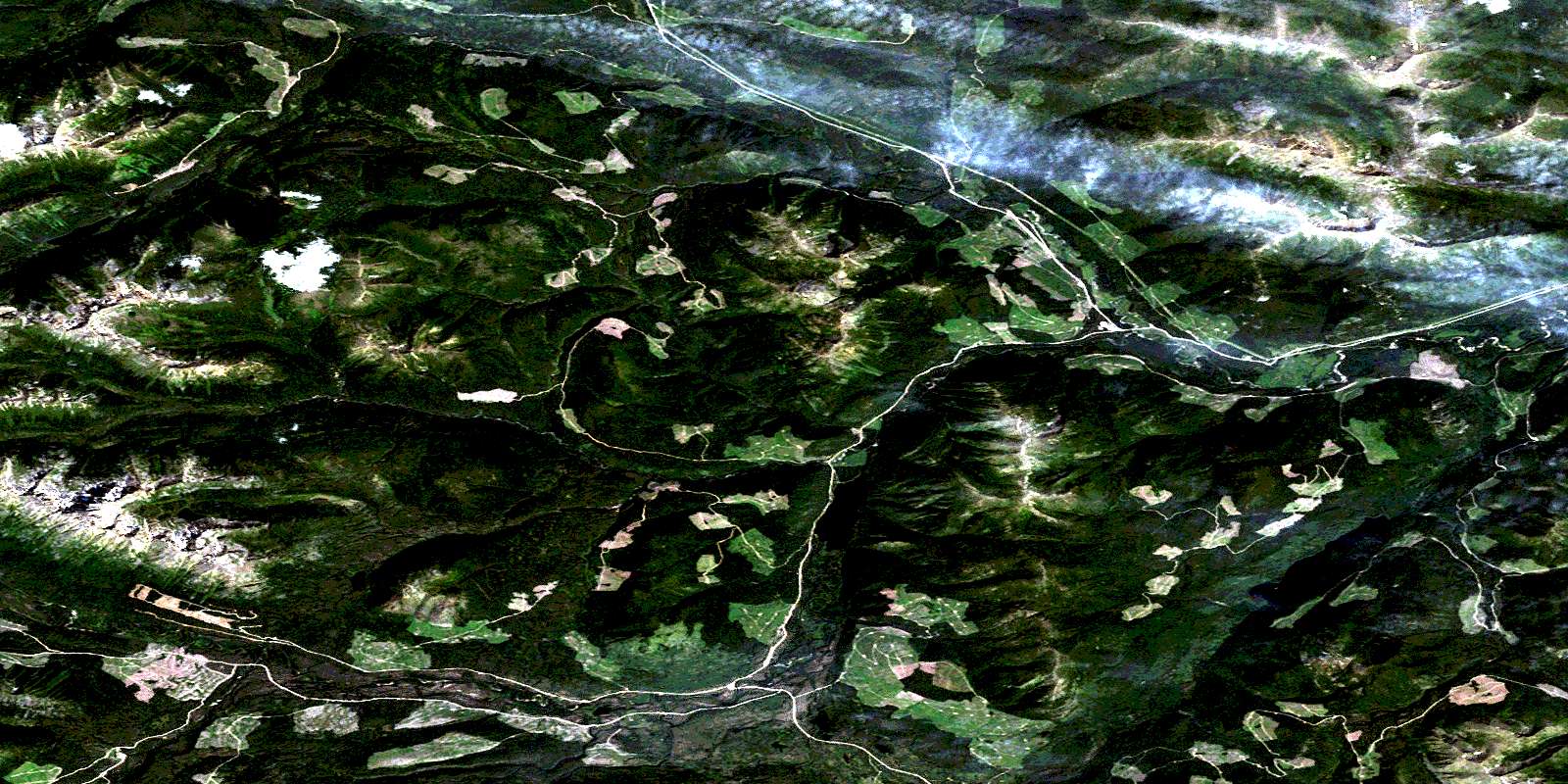
Uslika Lake Satellite Image Map
Download Free Aerial Photo 094C03 at 1:50,000 scale
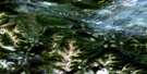
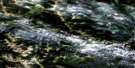
Uslika Lake Satellite Imagery
To view this satellite map, mouse over the air photo on the right.
You can also download this satellite image map for free:
094C03 Uslika Lake high-resolution satellite image map.
Maps for the Uslika Lake aerial map sheet 094C03 at 1:50,000 scale are also available in these versions:
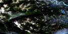
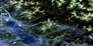
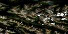
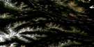
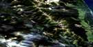
Uslika Lake Surrounding Area Aerial Photo Maps
 |
 |
 |
 |
 |
 |
 |
 |
 |
 |
 |
 |
 |
 |
 |
 |
© Department of Natural Resources Canada. All rights reserved.
Uslika Lake Gazetteer
The following places can be found on satellite image map 094C03 Uslika Lake:
Uslika Lake Satellite Image: Lakes
Chudelatsa LakeTenakihi Lakes
Uslika Lake
Wasi Lake
Uslika Lake Satellite Image: Mountains
Conglomerate MountainOmineca Mountains
Osilinka Ranges
Swannell Ranges
Tenakihi Range
Uslika Lake Satellite Image: Major municipal/district area - major agglomerations
Peace River Regional DistrictUslika Lake Satellite Image: Rivers
Haha CreekJim May Creek
May Creek
Omineca River
Osilinka River
Steele Creek
Tenakihi Creek
Thane Creek
Vega Creek
Wasi Creek
© Department of Natural Resources Canada. All rights reserved.
094C Related Maps:
094C Mesilinka River094C01 Omineca Arm
094C02 End Lake
094C03 Uslika Lake
094C04 Notch Peak
094C05 Aiken Lake
094C06 Blackpine Lake
094C07 Lorimer Creek
094C08 Lafferty Arm
094C09 Davis River
094C10 Factor Ross Creek
094C11 Ingenika Mine
094C12 Orion Creek
094C13 Tucha Creek
094C14 Ed Bird Creek
094C15 Chowika Creek
094C16 No Title
