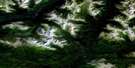
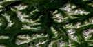
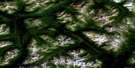
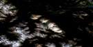
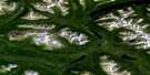
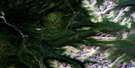
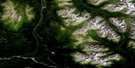
Snowdrift Creek Satellite Image Map
Download Free Aerial Photo 104I06 at 1:50,000 scale
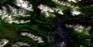
Snowdrift Creek Satellite Imagery
To view this satellite map, mouse over the air photo on the right.
You can also download this satellite image map for free:
104I06 Snowdrift Creek high-resolution satellite image map.
Maps for the Snowdrift Creek aerial map sheet 104I06 at 1:50,000 scale are also available in these versions:
Snowdrift Creek Surrounding Area Aerial Photo Maps
 |
 |
 |
 |
 |
 |
 |
 |
 |
 |
 |
 |
 |
 |
 |
 |
© Department of Natural Resources Canada. All rights reserved.
Snowdrift Creek Gazetteer
The following places can be found on satellite image map 104I06 Snowdrift Creek:
Snowdrift Creek Satellite Image: Lakes
Boulder City LakeGlacial Lake
Serpentine Lake
Three Kettle Lake
Turnagain Lake
Snowdrift Creek Satellite Image: Mountains
Cassiar MountainsGlacial Mountain
Stikine Ranges
Three Sisters Range
Snowdrift Creek Satellite Image: Rivers
Ball CreekBobner Creek
Burned Point Creek
Cariboo Creek
Enid Creek
Greenrock Creek
Little Greenrock Creek
McBride River
Rhubarb Creek
Settea Creek
Snowdrift Creek
Tumble Creek
Turnagain River
Two Mile Creek
Wheaton Creek
Snowdrift Creek Satellite Image: Unincorporated areas
Boulder City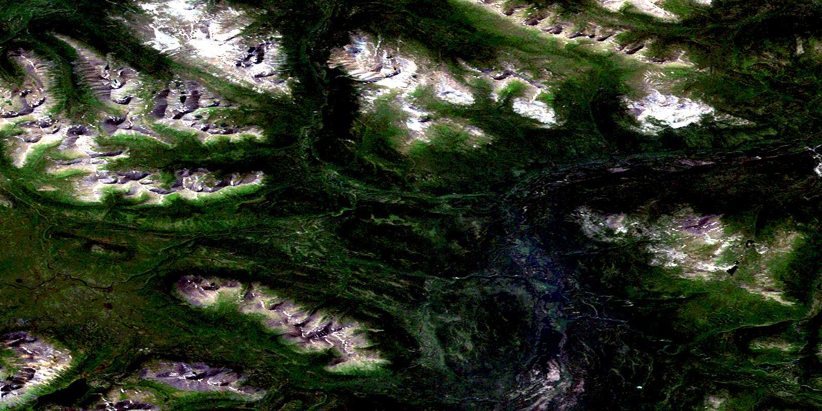
© Department of Natural Resources Canada. All rights reserved.
104I Related Maps:
104I Cry Lake104I01 Tucho River
104I02 Settea Lake
104I03 No Title
104I04 Cake Hill
104I05 Tanzilla Butte
104I06 Snowdrift Creek
104I07 Letain Creek
104I08 Rainbow Lakes
104I09 Cassiar River
104I10 Two Fish Creek
104I11 Hard Lake
104I12 Halfmoon Lake
104I13 Joe Irwin Lake
104I14 Beale Lake
104I15 No Title
104I16 Four Brothers Range
