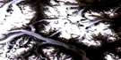
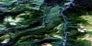
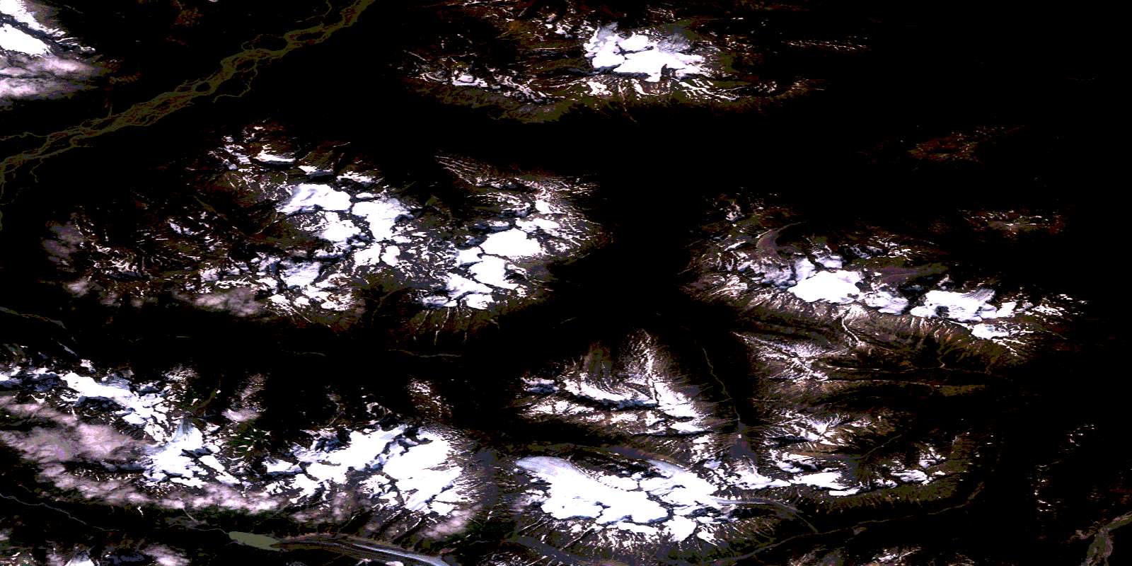
Stuhini Creek Satellite Image Map
Download Free Aerial Photo 104K11 at 1:50,000 scale
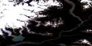
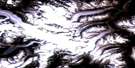
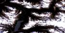
Stuhini Creek Satellite Imagery
To view this satellite map, mouse over the air photo on the right.
You can also download this satellite image map for free:
104K11 Stuhini Creek high-resolution satellite image map.
Maps for the Stuhini Creek aerial map sheet 104K11 at 1:50,000 scale are also available in these versions:
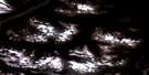
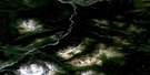
Stuhini Creek Surrounding Area Aerial Photo Maps
 |
 |
 |
 |
 |
 |
 |
 |
 |
 |
 |
|
 |
 |
 |
© Department of Natural Resources Canada. All rights reserved.
Stuhini Creek Gazetteer
The following places can be found on satellite image map 104K11 Stuhini Creek:
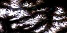
Stuhini Creek Satellite Image: Cliffs
Yellow BluffStuhini Creek Satellite Image: Glaciers
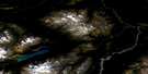
Sittakanay GlacierStuhini Creek Satellite Image: Lakes
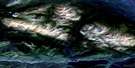
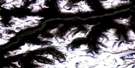
Lisadele LakeStuhini Creek Satellite Image: Mountains
Boundary RangesChaîne Côtière
Coast Mountains
Kwashona Mountain
Mount Ericksen
Mount Jeanne
Mount Lester Jones
Mount Metzgar
Niagara Mountain
Sittakanay Mountain
Tuskwa Mountain
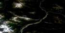
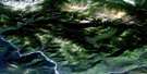
Stuhini Creek Satellite Image: Rivers
Ericksen CreekKing Salmon Creek
Kwashona Creek
Lester Jones Creek
Morepat Creek
Red Cap Creek
Sittakanay River
Stuhini Creek
Sutlahine River
Taku River
Tuskwa Creek
Zohini Creek
© Department of Natural Resources Canada. All rights reserved.
104K Related Maps:
104K Tulsequah104K01 Bearskin Lake
104K02 South Whiting River
104K03 Bates Peak
104K06 Wright Glacier
104K07 Trapper Lake
104K08 Tatsamenie Lake
104K09 No Title
104K10 King Salmon Lake
104K11 Stuhini Creek
104K12 Tulsequah River
104K13 Tulsequah Glacier
104K14 Inklin
104K15 Yeth Creek
104K16 Teditua Creek
