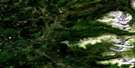
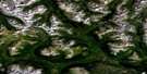
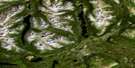
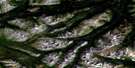
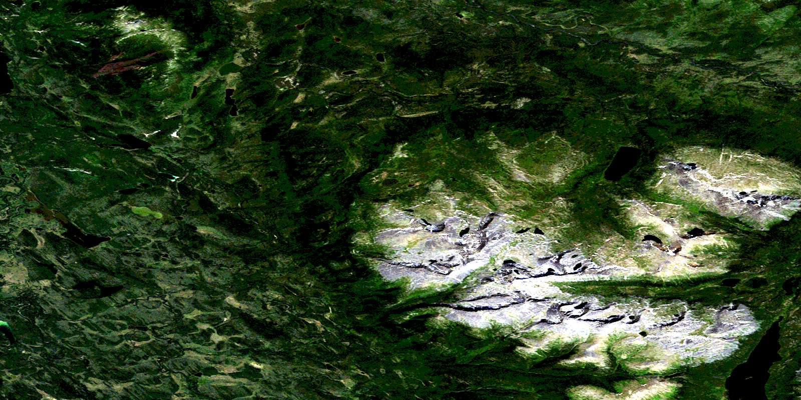
Hyland Lake Satellite Image Map
Download Free Aerial Photo 104O05 at 1:50,000 scale
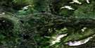
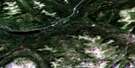
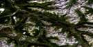
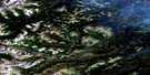
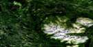
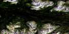
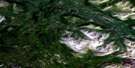
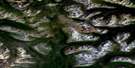
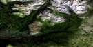
Hyland Lake Satellite Imagery
To view this satellite map, mouse over the air photo on the right.
You can also download this satellite image map for free:
104O05 Hyland Lake high-resolution satellite image map.
Maps for the Hyland Lake aerial map sheet 104O05 at 1:50,000 scale are also available in these versions:
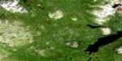
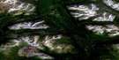
Hyland Lake Surrounding Area Aerial Photo Maps
 |
 |
 |
 |
 |
 |
 |
 |
 |
 |
 |
 |
 |
 |
 |
 |
© Department of Natural Resources Canada. All rights reserved.
Hyland Lake Gazetteer
The following places can be found on satellite image map 104O05 Hyland Lake:
Hyland Lake Satellite Image: Lakes
Aconitum LakeHyland Lake
Kedahda Lake
Hyland Lake Satellite Image: Mountains
Atsutla RangeCassiar Mountains
Hyland Hill
Mount Charlie Cole
Stikine Ranges
Hyland Lake Satellite Image: Plains
Kawdy PlateauStikine Plateau
Hyland Lake Satellite Image: Rivers
Aconitum CreekCharlie Cole Creek
Christmas Creek
Jennings River
Kachook Creek
Kedahda River
Shonektaw Creek
Snook Creek
Tanah Creek
Teslin River
Whiteswan River
Willie Jack Creek
© Department of Natural Resources Canada. All rights reserved.
104O Related Maps:
104O Jennings River104O01 Ed Asp Lake
104O02 Tuya Lake
104O03 Nazcha Creek
104O04 Chismaina Lake
104O05 Hyland Lake
104O06 Tahoots Creek
104O07 Ash Creek
104O08 Maria Lake
104O09 Chromite Mountain
104O10 Jennings Lakes
104O11 Klinkit Lake
104O12 No Title
104O13E Smart River
104O13W Smart River
104O14E Swan Lake
104O14W Swan Lake
104O15 Plate Lake
104O16 No Title
