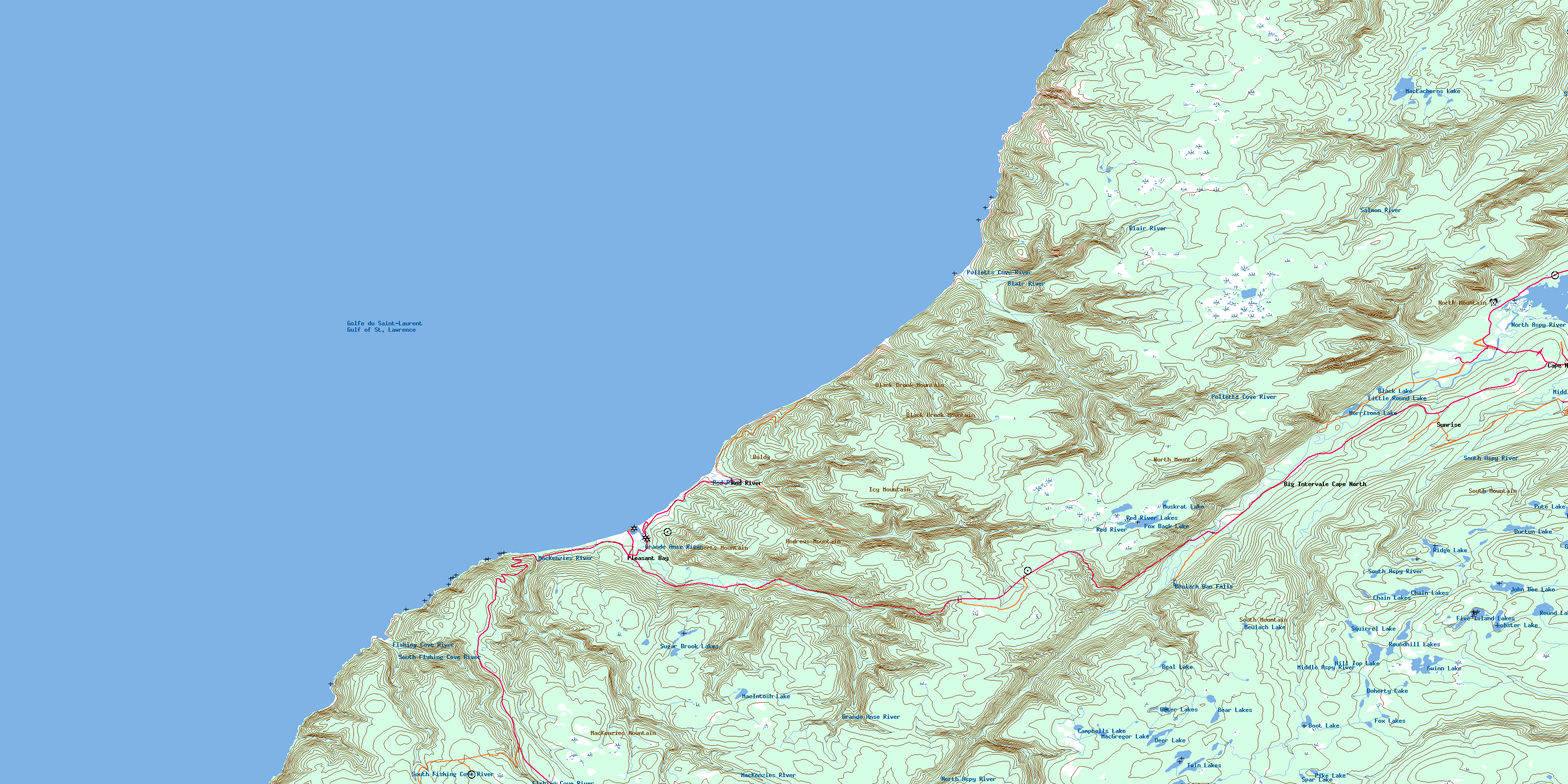
Pleasant Bay Topo Map Online
Download Free Topo Map Sheet 011K15 at 1:50,000 scale
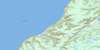
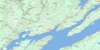
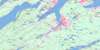
011K15 Pleasant Bay Topo Map
To view this map, mouse over the map preview on the right.
You can also download this topo map for free:
011K15 Pleasant Bay high-resolution topo map image.
Maps for the Pleasant Bay topo map sheet 011K15 at 1:50,000 scale are also available in these versions:
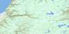
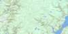
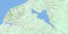
Pleasant Bay Surrounding Area Topo Maps
 |
 |
||
 |
 |
 |
|
 |
 |
 |
|
 |
 |
 |
 |
© Department of Natural Resources Canada. All rights reserved.
Pleasant Bay Gazetteer
The following places can be found on topographic map sheet 011K15 Pleasant Bay:
Pleasant Bay Topo Map: Bays
Big CoveBlack Point Cove
Bucks Cove
Fishing Cove
Fort Cove
Golfe du Saint-Laurent
Gulf of St. Lawrence
Moores Cove
North Harbour
Phillips Cove
Pigeon Cove
Pleasant Bay
Pollett Cove
Polletts Cove
Ramseys Cove
Seal Cove
Wreck Cove
Pleasant Bay Topo Map: Beaches
Polletts Cove BeachPleasant Bay Topo Map: Capes
Big HeadBlack Point
Delaneys Point
Fishing Cove Head
Fishing Cove Point
High Capes
Kerrs Point
Mackenzie Point
MacKenzies Point
Red Cape
Red Head
Shag Roost
The Chimney
White Capes
Wreck Cove Point
Pleasant Bay Topo Map: Channels
French GulchPleasant Bay Topo Map: Cliffs
Black CliffsPleasant Bay Topo Map: Falls
Beulach Ban FallsPleasant Bay Topo Map: Geographical areas
InvernessJuste au Corps
Victoria
Pleasant Bay Topo Map: Islands
Cape Breton IslandCarters Island
Daisleys Island
Île du Cap-Breton
Pleasant Bay Topo Map: Lakes
Baldwin LakeBeal Lake
Bear Lakes
Beulach Lake
Black Lake
Boot Lake
Burton Lake
Campbells Lake
Chain Lakes
Deer Lake
Doherty Lake
Five Island Lakes
Fox Back Lake
Fox Lakes
Glasgow Lakes
Gwinn Lake
Hill Top Lake
John Dee Lake
Little Round Lake
Lobster Lake
MacEacherns Lake
MacGregor Lake
MacIntosh Lake
Morrisons Lake
Muskrat Lake
North Pond
Otter Lakes
Pike Lake
Pute Lake
Red River Lakes
Ridge Lake
Round Lake
Roundhill Lakes
Spar Lake
Squirrel Lake
Sugar Brook Lakes
The Pond
Three Mile Lake
Twin Lakes
Pleasant Bay Topo Map: Mountains
Andrews MountainBaldy
Bear Hill
Black Brook Mountain
Boarsback
Fox Back Ridge
Grey Hill
Icy Mountain
Mackenzie Mountain
MacKenzies Mountain
Moores Hill
North Mountain
Roberts Mountain
South Mountain
Tenerife Mountain
Theodore Fricker Mountain
Pleasant Bay Topo Map: Major municipal/district area - major agglomerations
InvernessVictoria
Pleasant Bay Topo Map: Conservation areas
Cape Breton Highlands National Park of CanadaParc national du Canada des Hautes-Terres-du-Cap-Breton
Pleasant Bay Topo Map: Rivers
Archies BrookArchies Brook
Bear Brook
Benjies Lake Brook
Big Southwest Brook
Black Brook
Black Brook
Black Brook
Black Point Brook
Blair River
Delaney Brook
Doherty Brook
Donaldsons Brook
Donovan Brook
Eastern Brook
Fishing Cove River
George Brook
Georges Brook
Glasgow Brook
Grande Anse River
Gray Glen Brook
Grays Hollow Brook
Halfway Brook
Jessies Brook
Johns Brook
Line Brook
Little Southwest Brook
Lockhart Brook
Lower Delaneys Brook
Lowland Brook
MacGregor Brook
MacIntosh Brook
Mackenzie River
MacKenzies River
Malcolms Brook
McIntosh Brook
Meat Cove Brook
Middle Aspy River
North Aspy River
North Aspy River North Branch
North Aspy River South Branch
North Branch Brook
Otter Brook
Phillips Cove Brook
Pigeon Cove Brook
Pine Brook
Polletts Cove River
Red River
Rorys Brook
Rorys Brook
Sailor Brook
Sallys Brook
Salmon River
South Aspy River
South Blair River
South Fishing Cove River
Southwest Branch Brook
Spring Brook
Sugar Brook
Sutherlands Brook
Upper Delaneys Brook
Warren Brook
Whiskey Den Brook
Wilkie Brook
Wreck Brook
Wreck Cove Brook
Pleasant Bay Topo Map: Shoals
Malcolms RockPillar Rocks
Pleasant Bay Topo Map: Unincorporated areas
Big Intervale Cape NorthCape North
Pleasant Bay
Red River
Sunrise
Pleasant Bay Topo Map: Valleys
Grays HollowPleasant Bay Topo Map: Low vegetation
Big IntervaleMcEvoys Barren
Sammys Barren
© Department of Natural Resources Canada. All rights reserved.
