Arvalik Islands Topo Map Online
Download Free Topo Map Sheet 024J10 at 1:50,000 scale
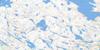
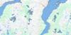
024J10 Arvalik Islands Topo Map
To view this map, mouse over the map preview on the right.
You can also download this topo map for free:
024J10 Arvalik Islands high-resolution topo map image.
Maps for the Arvalik Islands topo map sheet 024J10 at 1:50,000 scale are also available in these versions:
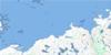
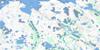
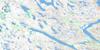
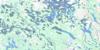
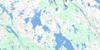
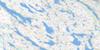
Arvalik Islands Surrounding Area Topo Maps
 |
|||
 |
 |
 |
 |
 |
 |
 |
 |
 |
 |
 |
 |
© Department of Natural Resources Canada. All rights reserved.
Arvalik Islands Gazetteer
The following places can be found on topographic map sheet 024J10 Arvalik Islands:
Arvalik Islands Topo Map: Bays
Anse IgaluitaujaqBaie d'Ungava
Ungava Bay
Arvalik Islands Topo Map: Capes
Cap KernertutPointe Amarutalik
Pointe Qirnituajuit
Pointe Qirnituarjuk
Arvalik Islands Topo Map: Islands
Alupaluk IsletArvalik Islands
Îles Arvalik
Îles Nauyut
Imirqutailaisitik Island
Ivittuq Islet
Nauyut Islands
Nikkutuuq Islet
Nipkotok Island
Nipkotok Island
Pissiulaarsitik Island
Arvalik Islands Topo Map: Rivers
Rivière Sirème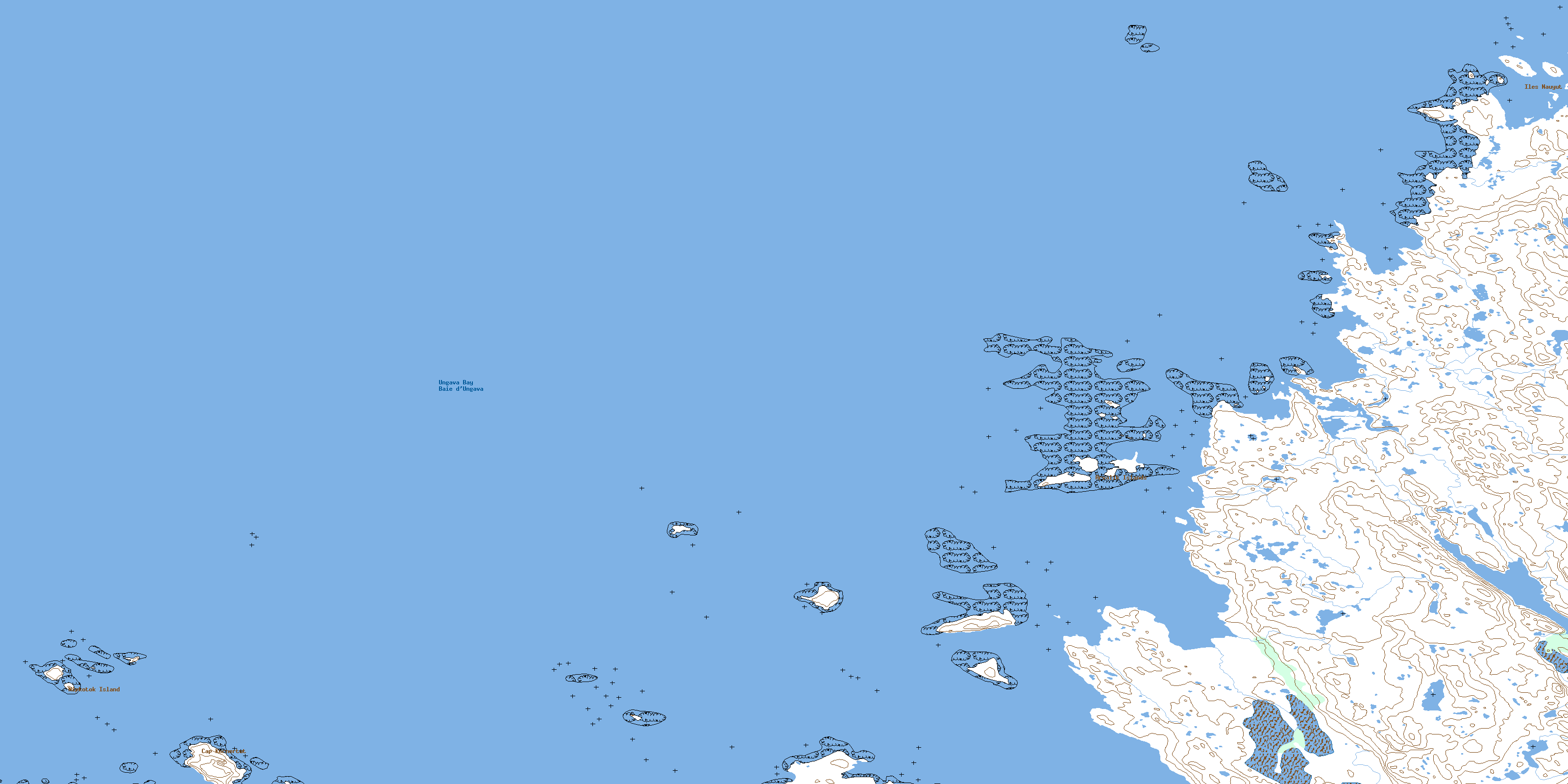
© Department of Natural Resources Canada. All rights reserved.
024J Related Maps:
024J Lac Ralleau024J01 Lac Tasirpaarusiq
024J02 Lac Tasivalliajuq
024J03 Lac Kavisililik
024J04 Riviere Aveneau
024J05 Cap Assaasijuup
024J06 Alukpaluk Bay
024J07 Riviere Danielou
024J08 Iles Qikirtaaluit
024J09 Riviere Marcol
024J10 Arvalik Islands
024J11 Saeglorsoak Island
024J12
024J16 Cap Naujaat
