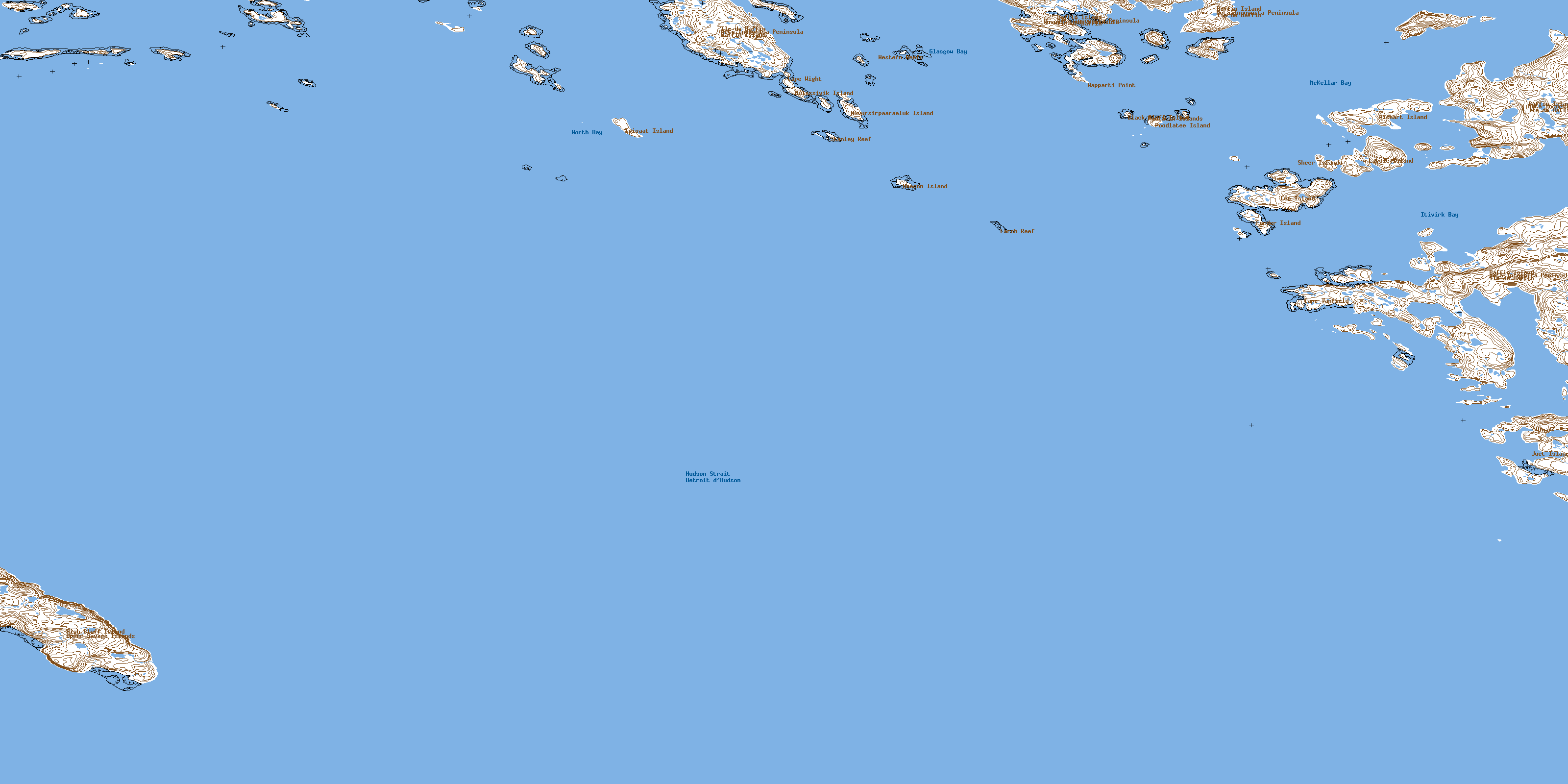
Cape Wight Topo Map Online
Download Free Topo Map Sheet 025K12 at 1:50,000 scale
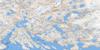
025K12 Cape Wight Topo Map
To view this map, mouse over the map preview on the right.
You can also download this topo map for free:
025K12 Cape Wight high-resolution topo map image.
Maps for the Cape Wight topo map sheet 025K12 at 1:50,000 scale are also available in these versions:
Cape Wight Surrounding Area Topo Maps
 |
 |
||
 |
 |
||
© Department of Natural Resources Canada. All rights reserved.
Cape Wight Gazetteer
The following places can be found on topographic map sheet 025K12 Cape Wight:
Cape Wight Topo Map: Bays
Glasgow BayItivirk Bay
McKellar Bay
North Bay
Cape Wight Topo Map: Capes
Cape TanfieldCape Wight
Meta Incognita Peninsula
Napparti Point
Nuvualujjuaq Peninsula
Cape Wight Topo Map: Channels
Hudson StraitCape Wight Topo Map: Islands
Aulassivik IslandBeacon Island
Black Bluff Island
Forder Island
High Bluff Island
Ivisaat Island
Juet Island
Lavoie Island
Lee Island
Nuvursiit Islands
Nuvursirpaaraaluk Island
Poodlatee Island
Pudlatin Islands
Sheer Islands
Upper Savage Islands
Wishart Island
Cape Wight Topo Map: Shoals
Larch ReefStanley Reef
Western Reefs
© Department of Natural Resources Canada. All rights reserved.
