Emma Island Topo Map Online
Download Free Topo Map Sheet 025L14 at 1:50,000 scale
025L14 Emma Island Topo Map
To view this map, mouse over the map preview on the right.
You can also download this topo map for free:
025L14 Emma Island high-resolution topo map image.
Maps for the Emma Island topo map sheet 025L14 at 1:50,000 scale are also available in these versions:
Emma Island Surrounding Area Topo Maps
 |
 |
 |
|
 |
 |
||
© Department of Natural Resources Canada. All rights reserved.
Emma Island Gazetteer
The following places can be found on topographic map sheet 025L14 Emma Island:
Emma Island Topo Map: Bays
Crooks InletEmma Island Topo Map: Capes
Cape ColmerEmma Island Topo Map: Channels
Hudson StraitWhite Strait
Emma Island Topo Map: Islands
Big IslandEmma Island
Strathcona Islands
Emma Island Topo Map: Marine navigation features
Henderson Harbour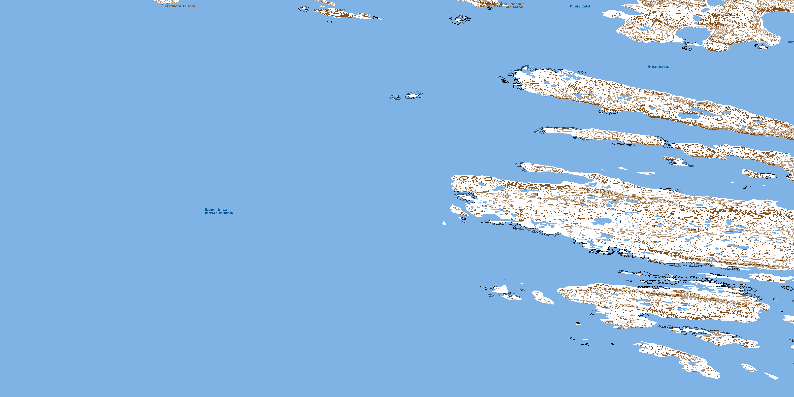
© Department of Natural Resources Canada. All rights reserved.
