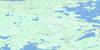
Lac Guillaumat Topo Map Online
Download Free Topo Map Sheet 033F02 at 1:50,000 scale
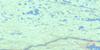
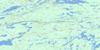
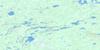
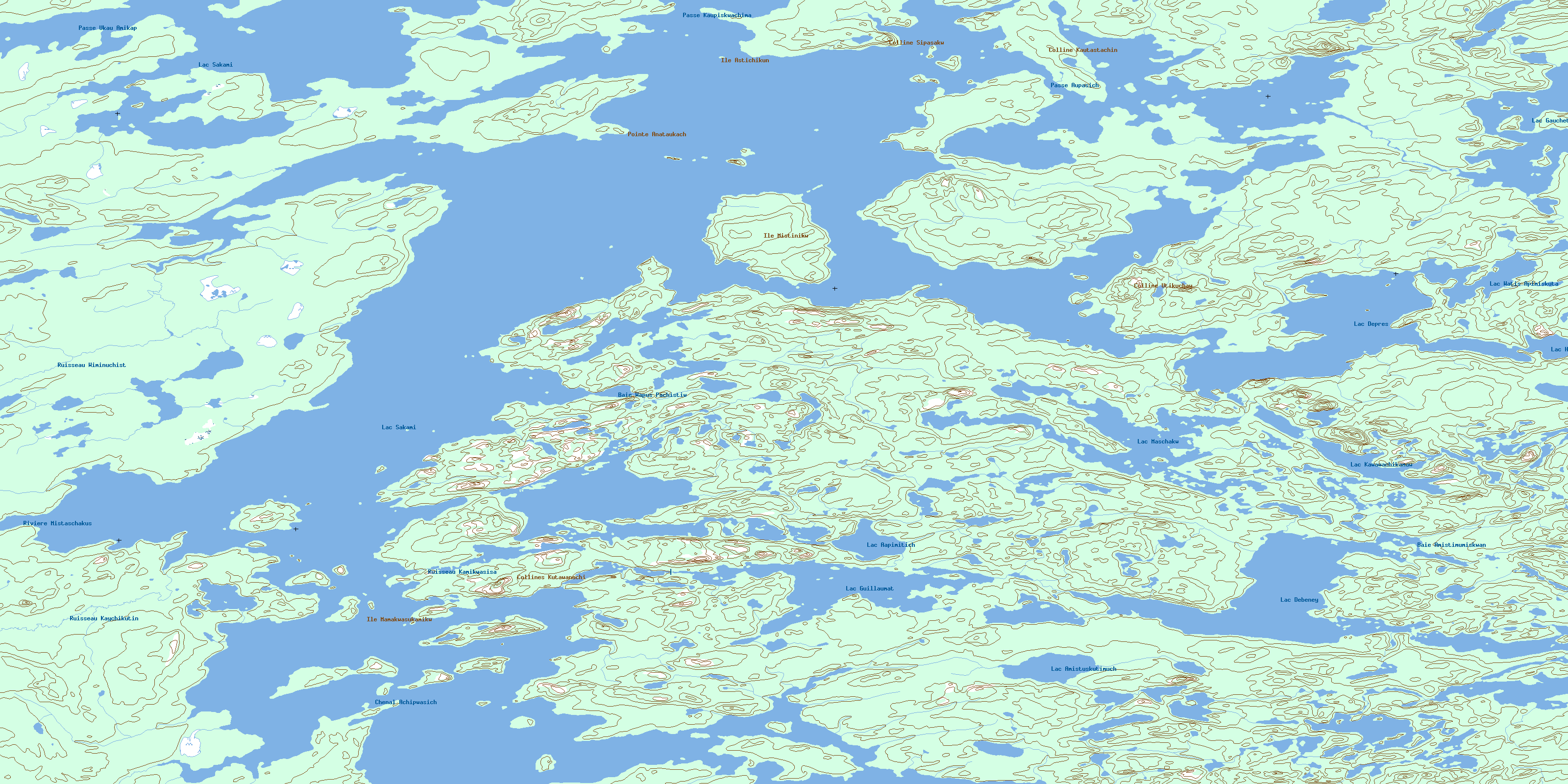
033F02 Lac Guillaumat Topo Map
To view this map, mouse over the map preview on the right.
You can also download this topo map for free:
033F02 Lac Guillaumat high-resolution topo map image.
Maps for the Lac Guillaumat topo map sheet 033F02 at 1:50,000 scale are also available in these versions:
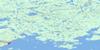
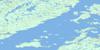
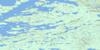
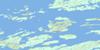
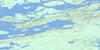
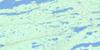
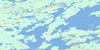
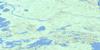
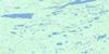
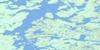
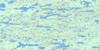
Lac Guillaumat Surrounding Area Topo Maps
 |
 |
 |
 |
 |
 |
 |
 |
 |
 |
 |
 |
 |
 |
 |
 |
© Department of Natural Resources Canada. All rights reserved.
Lac Guillaumat Gazetteer
The following places can be found on topographic map sheet 033F02 Lac Guillaumat:
Lac Guillaumat Topo Map: Bays
Baie AmistimumiskwanuchBaie Wapus Pachistiwakanis
Lac Guillaumat Topo Map: Capes
Pointe AnataukachLac Guillaumat Topo Map: Channels
Chenal AchipwasichPasse Aupasich
Passe Kaupiskwachimasi
Passe Ukau Amikap
Lac Guillaumat Topo Map: Islands
Île AstichikunÎle Mamakwasukamikw
Île Mistinikw
Lac Guillaumat Topo Map: Lakes
Lac AapimitichLac Amistuskutimuch
Lac Debeney
Lac Deprès
Lac Gauchet
Lac Guillaumat
Lac Hallouin
Lac Kawawachikamaw
Lac Maschakw
Lac Sakami
Lac Watis Apimiskutat
Lac Guillaumat Topo Map: Mountains
Colline KautastachimuchiColline Sipasakw
Colline Utikuchaw
Collines Kutawanuchi
Lac Guillaumat Topo Map: Rivers
Rivière MistaschakustikwRuisseau Kamikwasisakaw
Ruisseau Kaychikutinaw
Ruisseau Wiminuchistikw
© Department of Natural Resources Canada. All rights reserved.
033F Related Maps:
033F Lac Sakami033F01 Lac De Villaret
033F02 Lac Guillaumat
033F03 Lac Langelier
033F04 Lac Threefold
033F05 Lac Esprit
033F06 Lac Kowskatehkakmow
033F07 Lac Sakami
033F08 Lac De Vaulx
033F09 Colline Masson
033F10 Passe Awapakamich
033F11 Passe Chimusuminu
033F12 Lac Vion
033F13 Lac Awichina
033F14 Lac Brehan
033F15 Baie Carbillet
033F16 Passe Pikwahipanan
