Lac Nochet Topo Map Online
Download Free Topo Map Sheet 033H12 at 1:50,000 scale
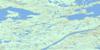
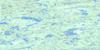
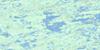
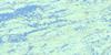
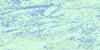
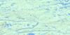
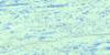
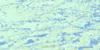
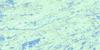
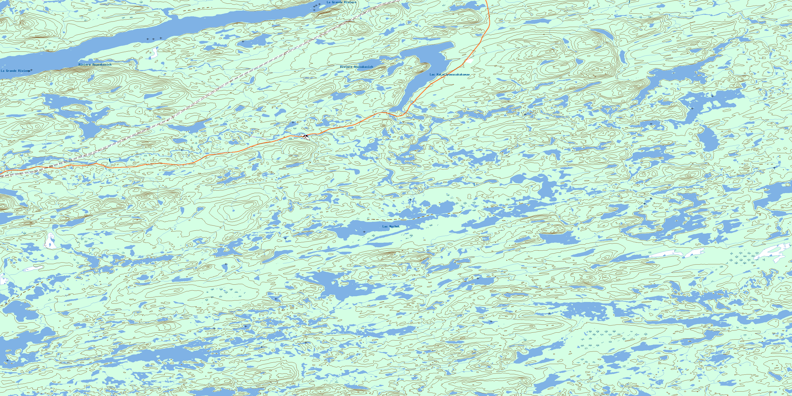
033H12 Lac Nochet Topo Map
To view this map, mouse over the map preview on the right.
You can also download this topo map for free:
033H12 Lac Nochet high-resolution topo map image.
Maps for the Lac Nochet topo map sheet 033H12 at 1:50,000 scale are also available in these versions:
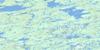
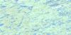
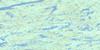
Lac Nochet Surrounding Area Topo Maps
 |
 |
 |
 |
 |
 |
 |
 |
 |
 |
 |
 |
 |
 |
 |
 |
© Department of Natural Resources Canada. All rights reserved.
Lac Nochet Gazetteer
The following places can be found on topographic map sheet 033H12 Lac Nochet:
Lac Nochet Topo Map: Lakes
Lac de la CorvetteLac Katatipawasakakamaw
Lac Nochet
Lac Nochet Topo Map: Mountains
Collines WaapiyaawLac Nochet Topo Map: Rivers
La Grande RivièreRivière Anasakasich
Rivière Fort George
© Department of Natural Resources Canada. All rights reserved.
033H Related Maps:
033H Lac Sauvolles033H01 Lac Orillat
033H02 Lac Richardie
033H03 Lac Jacquelein
033H04 Lac Pelletan
033H05 Lac Semonville
033H06 Lac Rouget
033H07 Lac Sauvolles
033H08 Lac La Savonniere
033H09 Lac Thier
033H10 Lac Orsigny
033H11 Lac Carmoy
033H12 Lac Nochet
033H13 Lac Tilly
033H14 Reservoir De Lg Quatre
033H15 Lac Des Voeux
033H16 Collines Pontard
