Snape Island Topo Map Online
Download Free Topo Map Sheet 033M14 at 1:50,000 scale
033M14 Snape Island Topo Map
To view this map, mouse over the map preview on the right.
You can also download this topo map for free:
033M14 Snape Island high-resolution topo map image.
Maps for the Snape Island topo map sheet 033M14 at 1:50,000 scale are also available in these versions:
Snape Island Surrounding Area Topo Maps
 |
 |
||
 |
|||
 |
© Department of Natural Resources Canada. All rights reserved.
Snape Island Gazetteer
The following places can be found on topographic map sheet 033M14 Snape Island:
Snape Island Topo Map: Bays
East ArmHudson Bay
Kipalu Inlet
West Arm
Wetalltok Bay
Snape Island Topo Map: Capes
Gibson PeninsulaMukpollo Peninsula
Snape Island Topo Map: Channels
Omarolluk SoundRidge Passage
Rock Passage
Snape Island Topo Map: Islands
Belcher IslandsBroomfield Island
Camp Islands
Flaherty Island
French Island
Innetalling Island
O'Leary Island
Snape Island
Walton Island
Snape Island Topo Map: Lakes
Kasegalik LakeMine Lake
Salt Lake
Snape Island Topo Map: Marine navigation features
Fairweather Harbour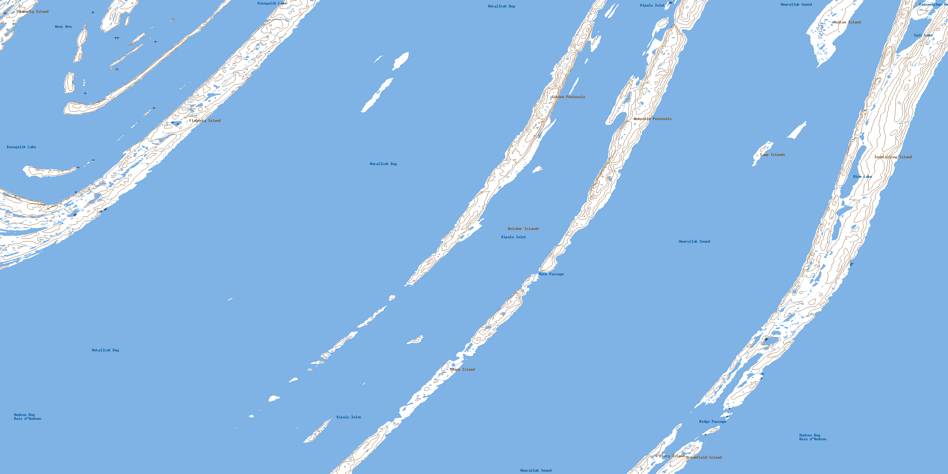
© Department of Natural Resources Canada. All rights reserved.
