Lac Chavigny Topo Map Online
Download Free Topo Map Sheet 034J03 at 1:50,000 scale
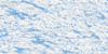
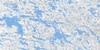
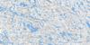
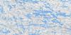
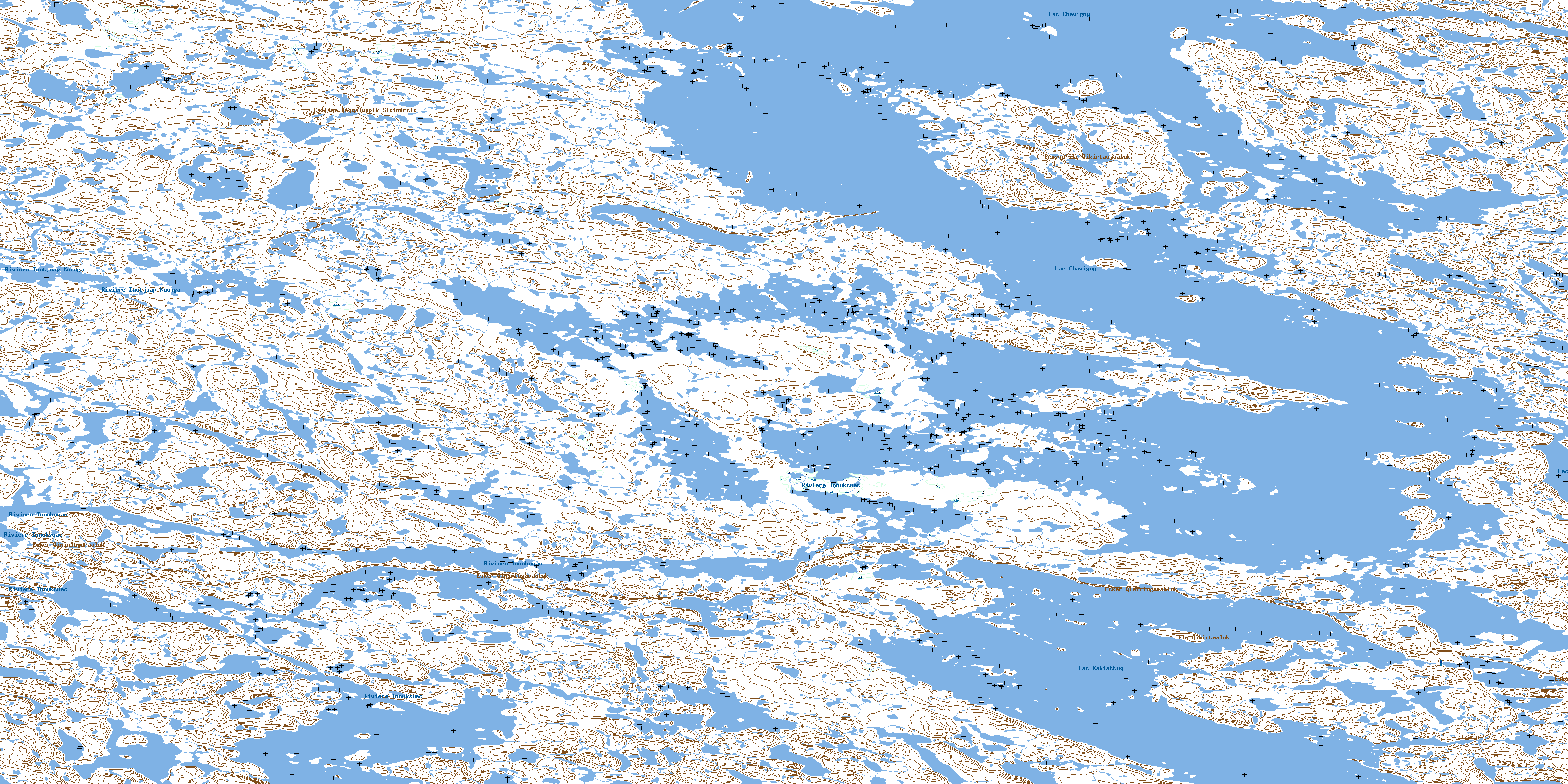
034J03 Lac Chavigny Topo Map
To view this map, mouse over the map preview on the right.
You can also download this topo map for free:
034J03 Lac Chavigny high-resolution topo map image.
Maps for the Lac Chavigny topo map sheet 034J03 at 1:50,000 scale are also available in these versions:
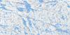
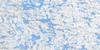
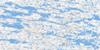
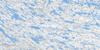
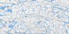
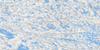
Lac Chavigny Surrounding Area Topo Maps
 |
 |
 |
 |
 |
 |
 |
 |
 |
 |
 |
 |
 |
 |
 |
 |
© Department of Natural Resources Canada. All rights reserved.
Lac Chavigny Gazetteer
The following places can be found on topographic map sheet 034J03 Lac Chavigny:
Lac Chavigny Topo Map: Capes
Presqu'île QikirtaujaalukLac Chavigny Topo Map: Islands
Île QikirtaalukLac Chavigny Topo Map: Lakes
Lac ChavignyLac Kakiattuq
Lac Chavigny Topo Map: Mountains
Colline Qaqqaluapik SiqinirsiqEsker Qimirlugaraaluk
Lac Chavigny Topo Map: Rivers
Rivière InnuksuacRivière Inutjuap Kuunga
Rivière Kuukallak
© Department of Natural Resources Canada. All rights reserved.
034J Related Maps:
034J Lac Vernon034J01 Lac Tininnirittuq
034J02 Lac Montrenault
034J03 Lac Chavigny
034J04 Lac Martinet
034J05 Lac Chatignon
034J06 Lac Farineau
034J07 Riviere Quutsuki
034J08 Lac Canade
034J09 Lac Lanoix
034J10 Lac Mecto
034J11 Lac Le Roy
034J12 Lac Daller
034J13 Lac Sanningajualuk
034J14 Lac Thiersant
034J15 Lac Tukimuattuq
034J16 Lac Vernon
