Cape Fanshawe Topo Map Online
Download Free Topo Map Sheet 038C10 at 1:50,000 scale
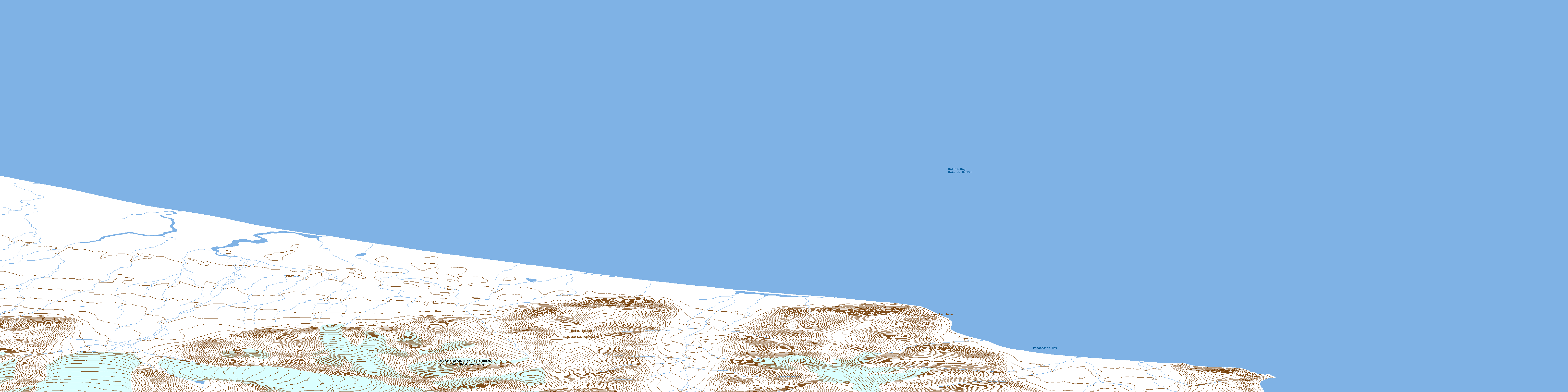
038C10 Cape Fanshawe Topo Map
To view this map, mouse over the map preview on the right.
You can also download this topo map for free:
038C10 Cape Fanshawe high-resolution topo map image.
Maps for the Cape Fanshawe topo map sheet 038C10 at 1:50,000 scale are also available in these versions:
Cape Fanshawe Surrounding Area Topo Maps
 |
 |
 |
|
 |
 |
 |
 |
 |
 |
 |
 |
© Department of Natural Resources Canada. All rights reserved.
Cape Fanshawe Gazetteer
The following places can be found on topographic map sheet 038C10 Cape Fanshawe:
Cape Fanshawe Topo Map: Bays
Possession BayCape Fanshawe Topo Map: Capes
Cape FanshaweCape Fanshawe Topo Map: Islands
Bylot IslandCape Fanshawe Topo Map: Mountains
Byam Martin MountainsCape Fanshawe Topo Map: Conservation areas
Bylot Island Bird SanctuaryParc national du Canada Sirmilik
Refuge d'oiseaux de l'Île Bylot
Sirmilik National Park of Canada
© Department of Natural Resources Canada. All rights reserved.
