Killala Lake Topo Map Online
Download Free Topo Map Sheet 042E02 at 1:50,000 scale
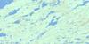
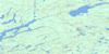
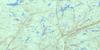
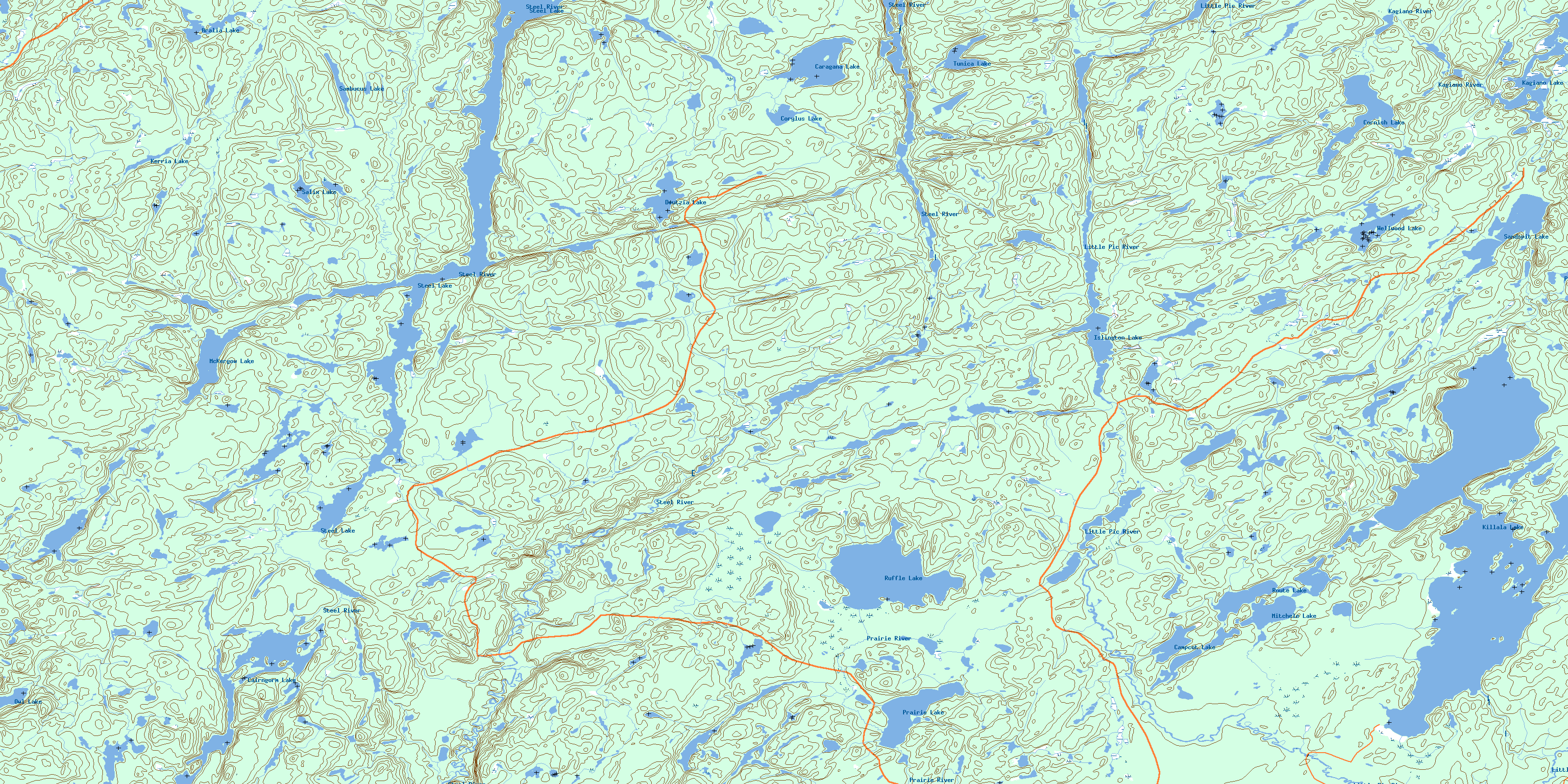
042E02 Killala Lake Topo Map
To view this map, mouse over the map preview on the right.
You can also download this topo map for free:
042E02 Killala Lake high-resolution topo map image.
Maps for the Killala Lake topo map sheet 042E02 at 1:50,000 scale are also available in these versions:
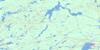
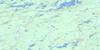
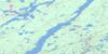
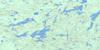
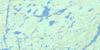
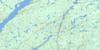
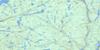
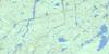
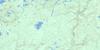
Killala Lake Surrounding Area Topo Maps
 |
 |
 |
 |
 |
 |
 |
 |
 |
 |
 |
 |
 |
 |
 |
 |
© Department of Natural Resources Canada. All rights reserved.
Killala Lake Gazetteer
The following places can be found on topographic map sheet 042E02 Killala Lake:
Killala Lake Topo Map: Lakes
Aralia LakeBeath Lake
Cairngorm Lake
Campcot Lake
Caragana Lake
Cornish Lake
Corylus Lake
Deutzia Lake
Esker Lake
Islington Lake
Kagiano Lake
Kerria Lake
Killala Lake
Kinch Lake
McKergow Lake
McKernan Lake
Milotte Lake
Mitchele Lake
Owl Lake
Papaver Lake
Portage Lake
Prairie Lake
Punchard Lake
Route Lake
Ruffle Lake
Salix Lake
Sambucus Lake
Sandspit Lake
Savoie Lake
Steel Lake
Tunica Lake
Wellwood Lake
Killala Lake Topo Map: Conservation areas
Steel River Provincial ParkKillala Lake Topo Map: Rivers
Aster CreekCatlonite Creek
Deutzia Creek
Kagiano River
Kerria Creek
Killala Creek
Little Pic River
Prairie River
Sandspit Creek
Steel River
Wellwood Creek
© Department of Natural Resources Canada. All rights reserved.
042E Related Maps:
042E Longlac042E01 Vein Lake
042E02 Killala Lake
042E03 Dickison Lake
042E04 Gurney Lake
042E05 Barbara Lake
042E06 Wintering Lake
042E07 Spider Lake
042E08 Kagiano Lake
042E09 Pagwachuan Lake
042E10 Geraldton
042E11 Wildgoose Lake
042E12 Beardmore
042E13 North Wind Lake
042E14 Treptow Lake
042E15 Longlac
042E16 Castlebar Lake
