Mahamo Lake Topo Map Online
Download Free Topo Map Sheet 042L13 at 1:50,000 scale
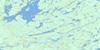
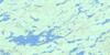
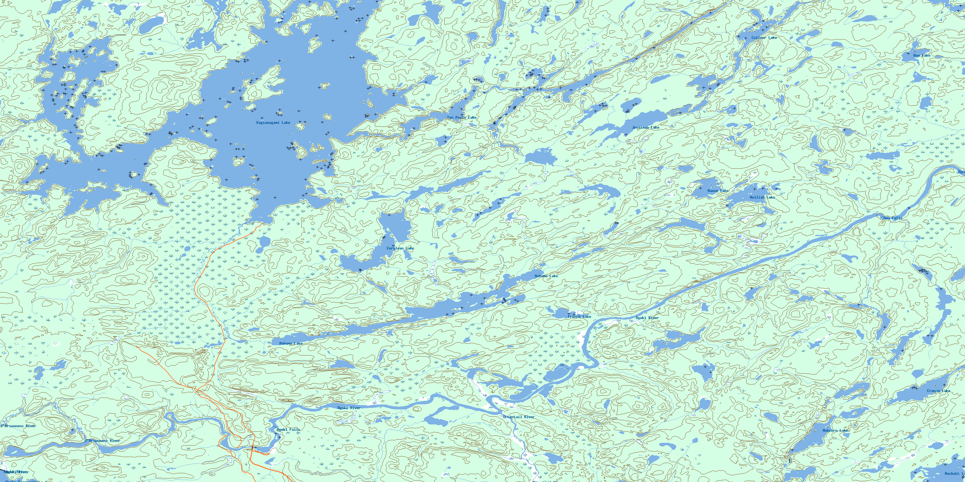
042L13 Mahamo Lake Topo Map
To view this map, mouse over the map preview on the right.
You can also download this topo map for free:
042L13 Mahamo Lake high-resolution topo map image.
Maps for the Mahamo Lake topo map sheet 042L13 at 1:50,000 scale are also available in these versions:
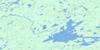
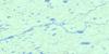
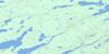
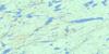
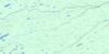
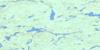
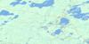
Mahamo Lake Surrounding Area Topo Maps
 |
 |
 |
 |
 |
 |
 |
 |
 |
 |
 |
 |
 |
 |
 |
 |
© Department of Natural Resources Canada. All rights reserved.
Mahamo Lake Gazetteer
The following places can be found on topographic map sheet 042L13 Mahamo Lake:
Mahamo Lake Topo Map: Bays
Humble BayMahamo Lake Topo Map: Falls
Amy FallsOgoki Falls
Waboose Falls
Mahamo Lake Topo Map: Islands
Dorey IslandMahamo Lake Topo Map: Lakes
Ankcorn LakeBox Lake
Cerulean Lake
Collver Lake
Crayon Lake
French Lake
Jessiman Lake
Kagianagami Lake
Mahamo Lake
Maxon Lake
Mellish Lake
Ogoki Reservoir
Reckett Lake
Van Poele Lake
Mahamo Lake Topo Map: Rivers
d'Orsonnens RiverOgoki River
Ottertail River
© Department of Natural Resources Canada. All rights reserved.
042L Related Maps:
042L Nakina042L01 Grant
042L02 Nakina
042L03 Kowkash
042L04 Elbow Lake
042L05 Toronto Lake
042L06 Hanover Lake
042L07 Esnagami Lake
042L08 Wababimiga Lake
042L09 Louella Falls
042L10 Percy Lake
042L11 Kapikotongwa Lake
042L12 Makoki Lake
042L13 Mahamo Lake
042L14 Ogoki Lake
042L15 Patience Lake
042L16 La Rose Lake
