Bonheur Topo Map Online
Download Free Topo Map Sheet 052G06 at 1:50,000 scale
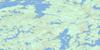
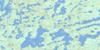
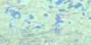
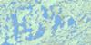
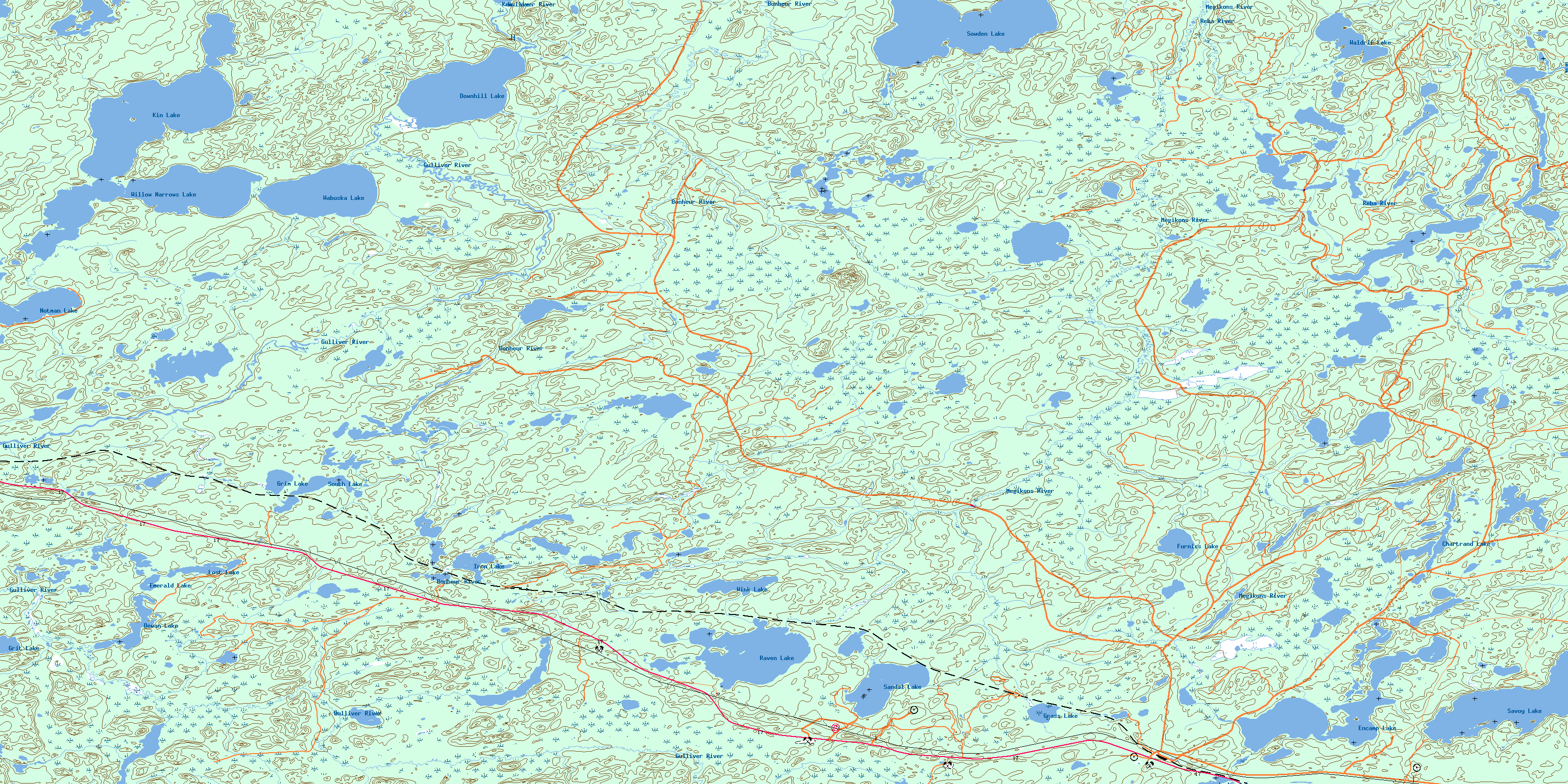
052G06 Bonheur Topo Map
To view this map, mouse over the map preview on the right.
You can also download this topo map for free:
052G06 Bonheur high-resolution topo map image.
Maps for the Bonheur topo map sheet 052G06 at 1:50,000 scale are also available in these versions:
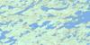
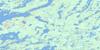
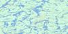
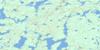
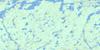
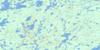
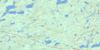
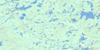
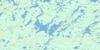
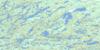
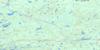
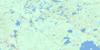
Bonheur Surrounding Area Topo Maps
 |
 |
 |
 |
 |
 |
 |
 |
 |
 |
 |
 |
 |
 |
 |
 |
© Department of Natural Resources Canada. All rights reserved.
Bonheur Gazetteer
The following places can be found on topographic map sheet 052G06 Bonheur:
Bonheur Topo Map: Capes
Breezy PointBonheur Topo Map: Geographical areas
BurkCathcart
Chartrand
Corman
Dewan
Furniss
Grummett
McNevin
Skey
Bonheur Topo Map: Lakes
Chartrand LakeDewan Lake
Downhill Lake
Emerald Lake
Encamp Lake
Furniss Lake
Grass Lake
Grim Lake
Grit Lake
Iron Lake
Ken Lake
Kin Lake
Lodge Lake
Lost Lake
McNevin Lake
Notman Lake
Raven Lake
Reba Lake
Sandal Lake
Savoy Lake
South Lake
Sowden Lake
Wabuska Lake
Waldrif Lake
Willow Narrows Lake
Wink Lake
Bonheur Topo Map: Conservation areas
Bonheur River Kame Provincial Nature ReserveGulliver River Conservation Reserve
Bonheur Topo Map: Plains
Woonga FlatsBonheur Topo Map: Rivers
Bonheur RiverChartrand Creek
Furniss Creek
Grummett Creek
Gulliver River
Megikons River
Notman Creek
Raven Creek
Reba River
Sandal Creek
Waldrif Creek
Bonheur Topo Map: Unincorporated areas
BonheurMartin
© Department of Natural Resources Canada. All rights reserved.
052G Related Maps:
052G Ignace052G01 Upsala
052G02 Firesteel River
052G03 Gulliver Lake
052G04 White Otter Lake
052G05 Ignace
052G06 Bonheur
052G07 Petry River
052G08 Pakashkan Lake
052G09 Empire Lake
052G10 Shikag Lake
052G11 Mattabi
052G12 Mameigwess Lake
052G13 Yonde
052G14 Valora
052G15 Glitter Lake
052G16 Harmon Lake
