Jervis Bay Lake Topo Map Online
Download Free Topo Map Sheet 052P14 at 1:50,000 scale
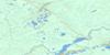
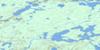
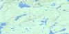
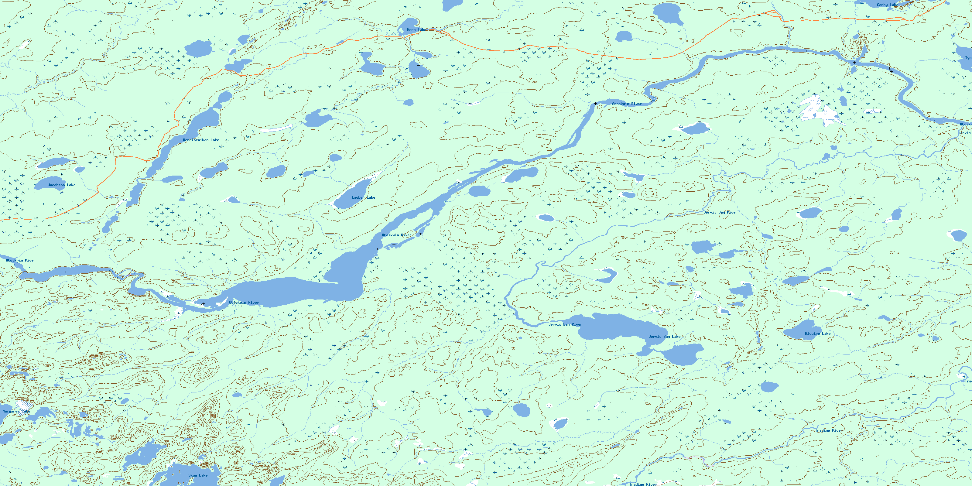
052P14 Jervis Bay Lake Topo Map
To view this map, mouse over the map preview on the right.
You can also download this topo map for free:
052P14 Jervis Bay Lake high-resolution topo map image.
Maps for the Jervis Bay Lake topo map sheet 052P14 at 1:50,000 scale are also available in these versions:
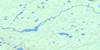
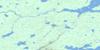
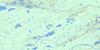
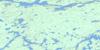
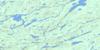
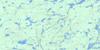
Jervis Bay Lake Surrounding Area Topo Maps
 |
 |
 |
 |
 |
 |
 |
 |
 |
 |
 |
 |
 |
 |
 |
 |
© Department of Natural Resources Canada. All rights reserved.
Jervis Bay Lake Gazetteer
The following places can be found on topographic map sheet 052P14 Jervis Bay Lake:
Jervis Bay Lake Topo Map: Lakes
Alguire LakeCorby Lake
Hore Lake
Jacobson Lake
Jervis Bay Lake
Kakagiwizida Lake
Lauber Lake
Margaree Lake
Nemeibenikam Lake
Nemeibenikan Lake
Skua Lake
Tyo Lake
Jervis Bay Lake Topo Map: Conservation areas
Otoskwin-Attawapiskat River Provincial ParkJervis Bay Lake Topo Map: Rivers
Jervis Bay RiverNemeibenikan Brook
Otoskwin River
Trading River
© Department of Natural Resources Canada. All rights reserved.
052P Related Maps:
052P Miminiska Lake052P01 Sim Lake
052P02 Kilbarry Lake
052P03 Greenmantle Lake
052P04 Coles Lake
052P05 Seach Lake
052P06 Pruner Lake
052P07 Grace Lake
052P08 Kawitos Lake
052P09 Opikeigen Lake
052P10 Miminiska Lake
052P11 Crerar Lake
052P12 Collishaw Lake
052P13 Lysander Lake
052P14 Jervis Bay Lake
052P15 Ozhiski Lake
052P16 Machawaian Lake
