Mcintosh Bay Topo Map Online
Download Free Topo Map Sheet 053D09 at 1:50,000 scale
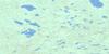
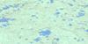
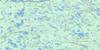
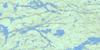
053D09 Mcintosh Bay Topo Map
To view this map, mouse over the map preview on the right.
You can also download this topo map for free:
053D09 Mcintosh Bay high-resolution topo map image.
Maps for the Mcintosh Bay topo map sheet 053D09 at 1:50,000 scale are also available in these versions:
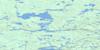
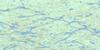
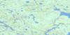
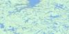
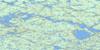
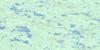
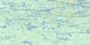
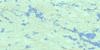
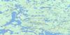
Mcintosh Bay Surrounding Area Topo Maps
 |
 |
 |
 |
 |
 |
 |
 |
 |
 |
 |
 |
 |
 |
 |
 |
© Department of Natural Resources Canada. All rights reserved.
Mcintosh Bay Gazetteer
The following places can be found on topographic map sheet 053D09 Mcintosh Bay:
Mcintosh Bay Topo Map: Bays
McIntosh BayMcintosh Bay Topo Map: Indian Reserves
Deer LakeDeer Lake Indian Reserve
Réserve indienne Deer Lake
Mcintosh Bay Topo Map: Lakes
Deer LakeMcintosh Bay Topo Map: Rivers
Cochrane RiverSevern River
Mcintosh Bay Topo Map: Unincorporated areas
Deer Lake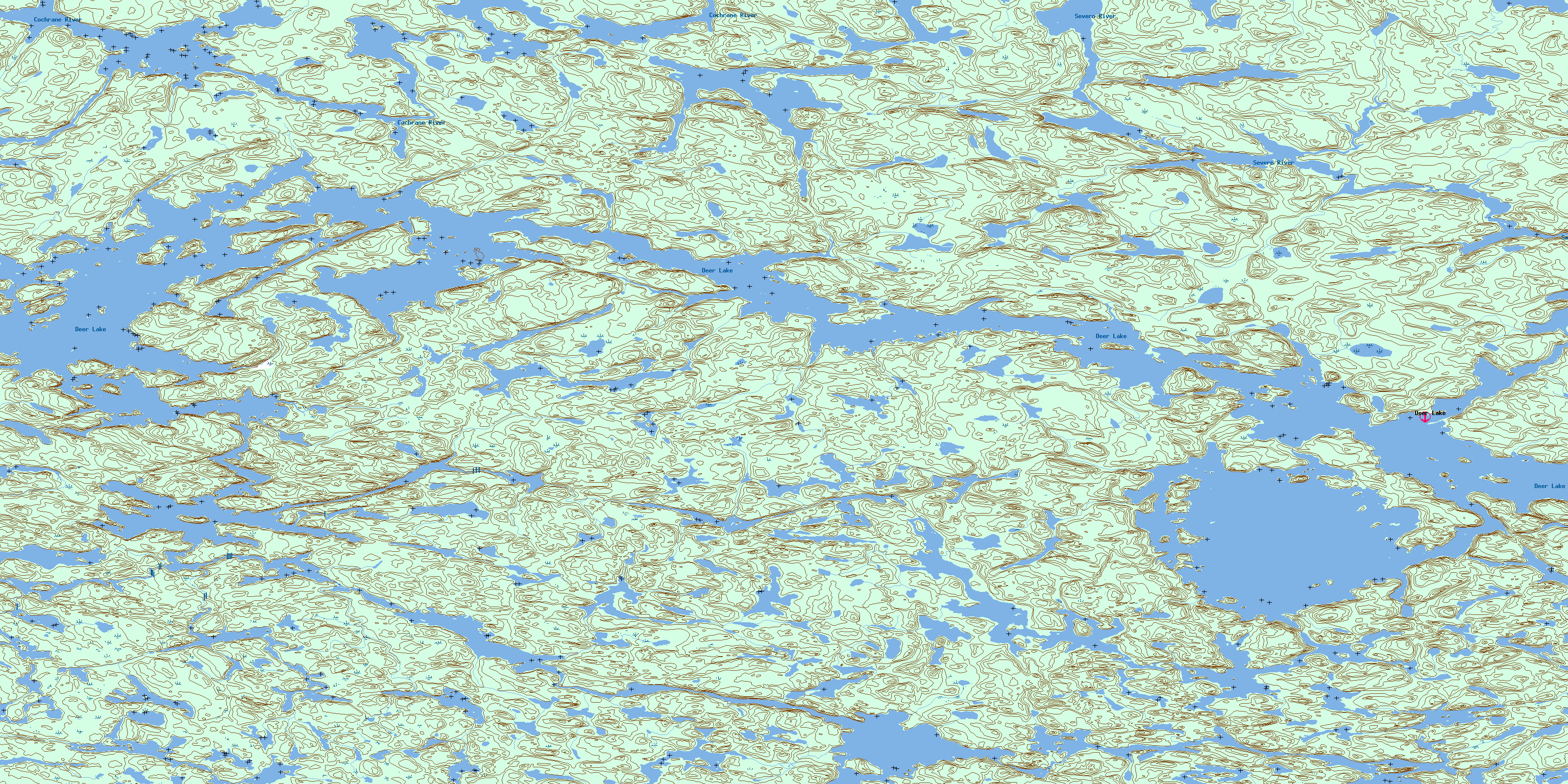
© Department of Natural Resources Canada. All rights reserved.
053D Related Maps:
053D Deer Lake053D01 Old Shoes Lake
053D02 Stout Lake
053D03 Little Grand Rapids
053D04 Horseshoe Lake
053D05 Carr-Harris Lake
053D06 Red Willow Lake
053D07 Namiwan Lake
053D08 Apps Lake
053D09 Mcintosh Bay
053D10 Cherrington Lake
053D11 Kagipo Lake
053D12 Lewis Lake
053D13 Gilchrist Lake
053D14 Acheetamo Lake
053D15 Cobham Lake
053D16 Borland Lake
