Ross Peninsula Topo Map Online
Download Free Topo Map Sheet 057D12 at 1:50,000 scale
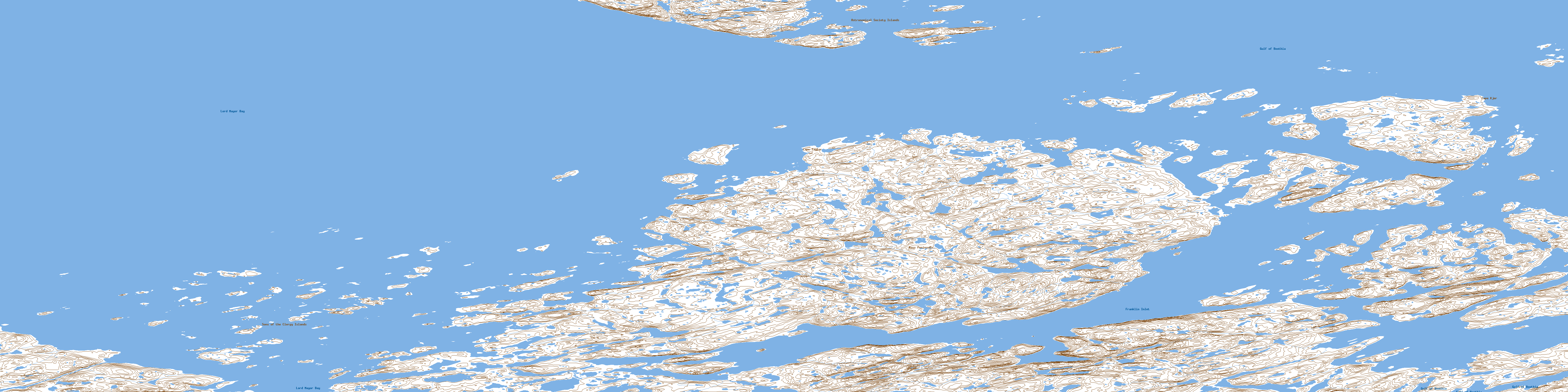
057D12 Ross Peninsula Topo Map
To view this map, mouse over the map preview on the right.
You can also download this topo map for free:
057D12 Ross Peninsula high-resolution topo map image.
Maps for the Ross Peninsula topo map sheet 057D12 at 1:50,000 scale are also available in these versions:
Ross Peninsula Surrounding Area Topo Maps
 |
|||
 |
 |
||
 |
 |
||
 |
 |
 |
 |
© Department of Natural Resources Canada. All rights reserved.
Ross Peninsula Gazetteer
The following places can be found on topographic map sheet 057D12 Ross Peninsula:
Ross Peninsula Topo Map: Bays
Franklin InletGulf of Boothia
Lord Mayor Bay
Unngilitaittuq Bay
Ross Peninsula Topo Map: Capes
Avaaq PointCape Kjer
Cape Taylor
Ross Peninsula
Tikiraq Peninsula
Ross Peninsula Topo Map: Islands
Astronomical Society IslandsHaviujaq Island
Papkujat Islands
Qikiqtarjuaraarjuk Island
Sons of the Clergy Islands
Ross Peninsula Topo Map: Lakes
Uluujaq LakeRoss Peninsula Topo Map: Rivers
Atanirsliq CreekIqaluvigjuaq Inlet
Nutsuktuq River
© Department of Natural Resources Canada. All rights reserved.
