Gauer Lake Topo Map Online
Download Free Topo Map Sheet 064A13 at 1:50,000 scale
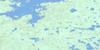
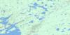
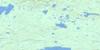
064A13 Gauer Lake Topo Map
To view this map, mouse over the map preview on the right.
You can also download this topo map for free:
064A13 Gauer Lake high-resolution topo map image.
Maps for the Gauer Lake topo map sheet 064A13 at 1:50,000 scale are also available in these versions:
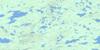
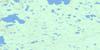
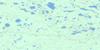
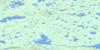
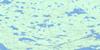
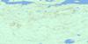
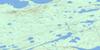
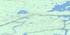
Gauer Lake Surrounding Area Topo Maps
 |
 |
 |
 |
 |
 |
 |
 |
 |
 |
 |
 |
 |
 |
 |
 |
© Department of Natural Resources Canada. All rights reserved.
Gauer Lake Gazetteer
The following places can be found on topographic map sheet 064A13 Gauer Lake:
Gauer Lake Topo Map: Bays
Jennison BayGauer Lake Topo Map: Channels
Wuskwiatik NarrowsGauer Lake Topo Map: Islands
Foster IslandMcClelland Island
Menzies Island
Gauer Lake Topo Map: Lakes
Albert Murray LakeAskasukaw Lake
Gauer Lake
Gordon McKay Lake
Little Jennison Lake
Mistutikumak Lake
Omechisoo Lake
Wuskwiatik Lake
Gauer Lake Topo Map: Conservation areas
Amisk Park ReserveGauer Lake Topo Map: Rivers
Mistutikumak River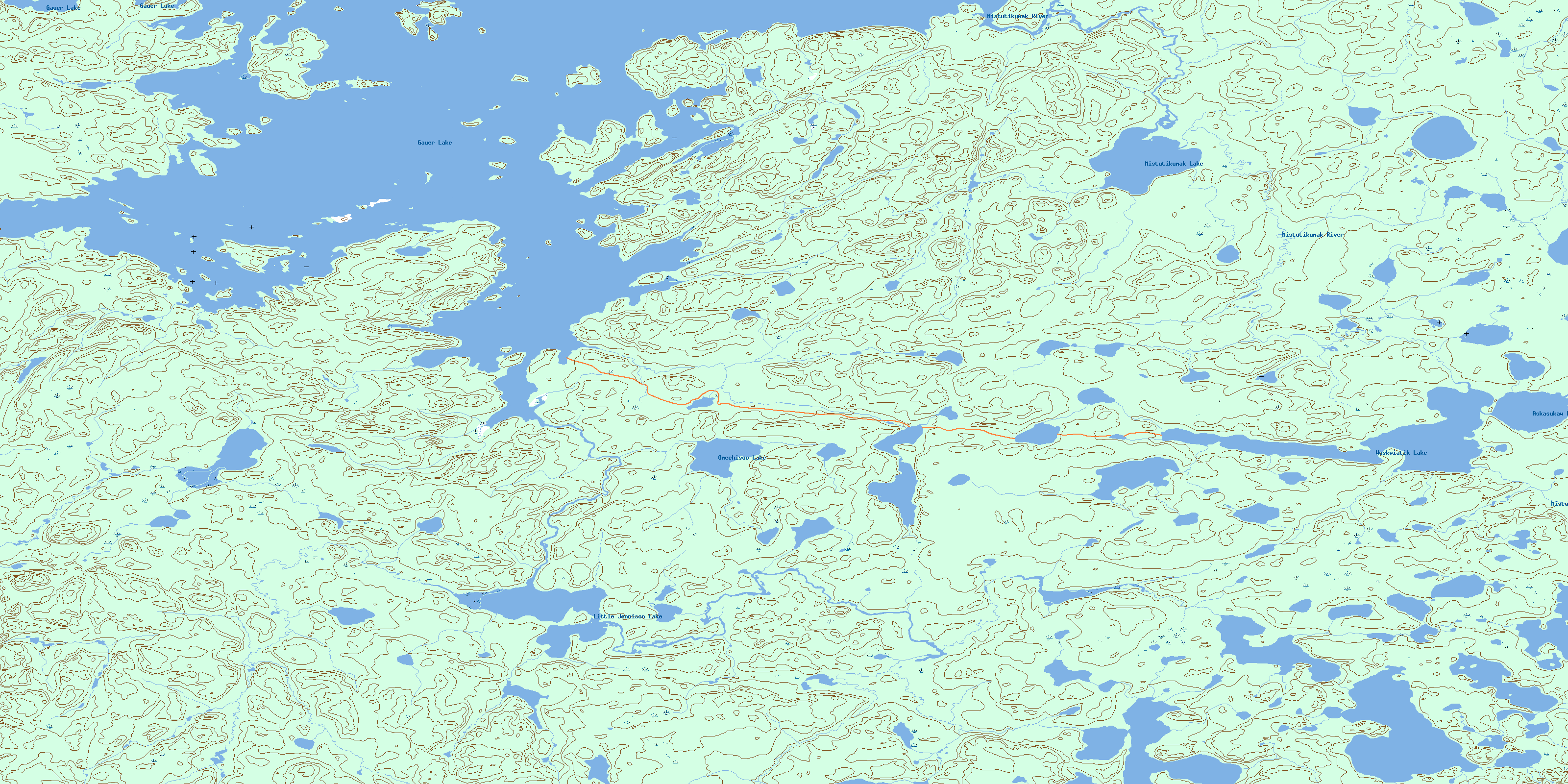
© Department of Natural Resources Canada. All rights reserved.
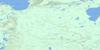
064A Related Maps:
064A Split Lake064A01 Split Lake
064A02 Assean Lake
064A03 Orr Lake
064A04 Strong Lake
064A05 Warnews River
064A06 Meridian Lake
064A07 Pelletier Lake
064A08 Crying Lake
064A09 Hale Lake
064A10 Caldwell Lake
064A11 Campbell Lake
064A12 Jensen Lake
064A13 Gauer Lake
064A14 Wernham Lake
064A15 Christie Lake
064A16 Bieber River
