Kamuchawie Lake Topo Map Online
Download Free Topo Map Sheet 064C05 at 1:50,000 scale
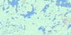
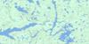
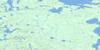
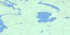
064C05 Kamuchawie Lake Topo Map
To view this map, mouse over the map preview on the right.
You can also download this topo map for free:
064C05 Kamuchawie Lake high-resolution topo map image.
Maps for the Kamuchawie Lake topo map sheet 064C05 at 1:50,000 scale are also available in these versions:
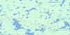
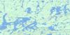
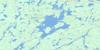
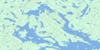
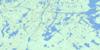
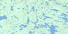
Kamuchawie Lake Surrounding Area Topo Maps
 |
 |
 |
 |
 |
 |
 |
 |
 |
 |
 |
 |
 |
 |
 |
 |
© Department of Natural Resources Canada. All rights reserved.
Kamuchawie Lake Gazetteer
The following places can be found on topographic map sheet 064C05 Kamuchawie Lake:
Kamuchawie Lake Topo Map: Bays
Hancock BayWaddell Bay
Kamuchawie Lake Topo Map: Hydraulic construction
Kamuchawie DamLoon Dam
Kamuchawie Lake Topo Map: Islands
Barclay IslandBruce Island
Coulson Island
Forster Island
Gallant Island
Roper Island
Wright Island
Kamuchawie Lake Topo Map: Lakes
Angers LakeBear Den Lake
Blueman Lake
Boulder Lake
Elefson Lake
Gneiss Lake
Hansen Lake
Hudson Lake
Isbister Lake
Kamuchawie Lake
Leguilloux Lake
Little Tod Lake
Lousier Lake
Matheson Lake
Murray Lake
Narrow Lake
O'Connell Lake
Oskatuk Lake
Piskwaw Lake
Plumbtree Lake
Running Bear Lake
Russell Lake
Short Cut Lake
Shynkarchuk Lake
Spear Lake
Talon Lake
Tractor Lake
Kamuchawie Lake Topo Map: Rivers
Loon RiverKamuchawie Lake Topo Map: Unincorporated areas
Kosapechekanesik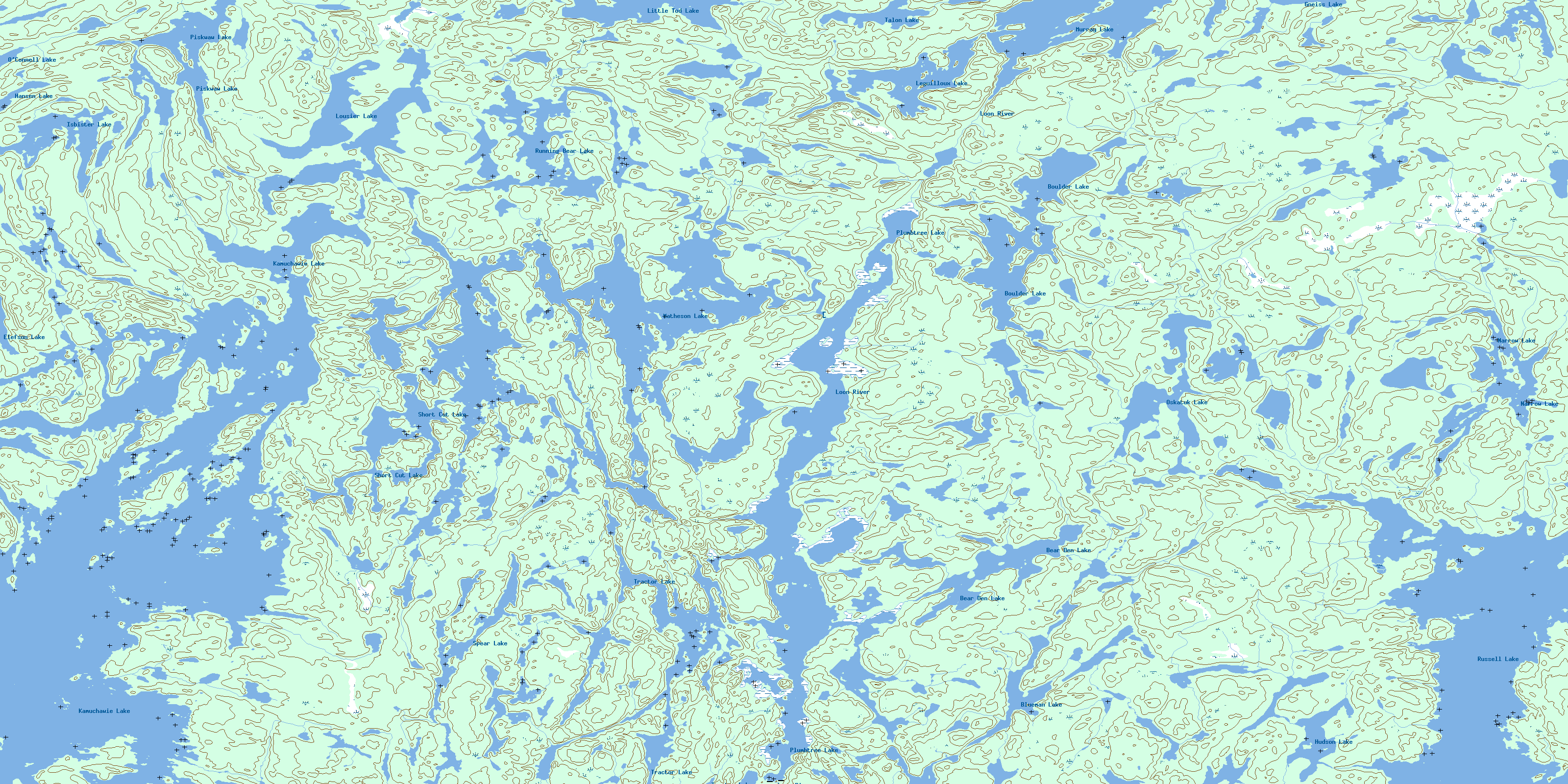
© Department of Natural Resources Canada. All rights reserved.
064C Related Maps:
064C Granville Lake064C01 Suwannee Lake
064C02 Wheatcroft Lake
064C03 Mcknight Lake
064C04 Mccallum Lake
064C05 Kamuchawie Lake
064C06 Kadeniuk Lake
064C07 Watt Lake
064C08 Turnbull Lake
064C09 Eden Lake
064C10 Sickle Lake
064C11 Mcgavock Lake
064C12 Laurie Lake
064C13 Mcmillan Lake
064C14 Lynn Lake
064C15 Cockeram Lake
064C16 Barrington Lake
