Flagstaff Island Topo Map Online
Download Free Topo Map Sheet 066M16 at 1:50,000 scale
066M16 Flagstaff Island Topo Map
To view this map, mouse over the map preview on the right.
You can also download this topo map for free:
066M16 Flagstaff Island high-resolution topo map image.
Maps for the Flagstaff Island topo map sheet 066M16 at 1:50,000 scale are also available in these versions:
Flagstaff Island Surrounding Area Topo Maps
 |
 |
 |
 |
 |
 |
 |
 |
 |
 |
 |
 |
 |
 |
 |
 |
© Department of Natural Resources Canada. All rights reserved.
Flagstaff Island Gazetteer
The following places can be found on topographic map sheet 066M16 Flagstaff Island:
Flagstaff Island Topo Map: Bays
Chester BayQueen Maud Gulf
Flagstaff Island Topo Map: Islands
Flagstaff IslandKeith Islands
Flagstaff Island Topo Map: Conservation areas
Queen Maud Gulf Bird SanctuaryRefuge d'oiseaux du Golfe Reine-Maud
Flagstaff Island Topo Map: Unincorporated areas
Perry River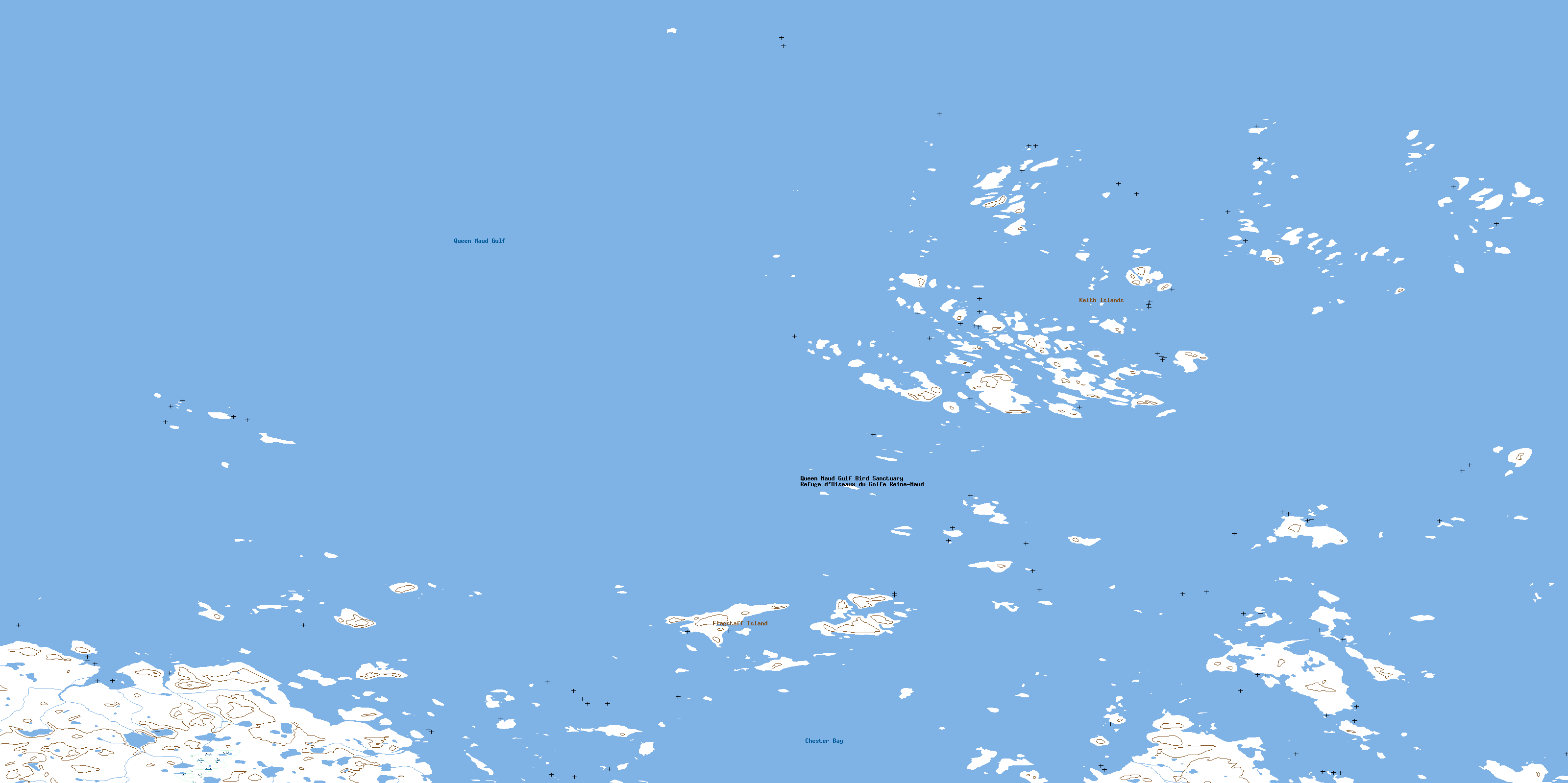
© Department of Natural Resources Canada. All rights reserved.
