Mctavish Point Topo Map Online
Download Free Topo Map Sheet 066N14 at 1:50,000 scale
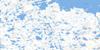
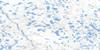
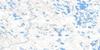
066N14 Mctavish Point Topo Map
To view this map, mouse over the map preview on the right.
You can also download this topo map for free:
066N14 Mctavish Point high-resolution topo map image.
Maps for the Mctavish Point topo map sheet 066N14 at 1:50,000 scale are also available in these versions:
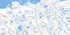
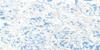
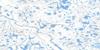
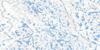
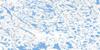
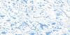
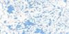
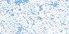
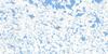
Mctavish Point Surrounding Area Topo Maps
 |
 |
 |
 |
 |
 |
 |
 |
 |
 |
 |
 |
 |
 |
 |
 |
© Department of Natural Resources Canada. All rights reserved.
Mctavish Point Gazetteer
The following places can be found on topographic map sheet 066N14 Mctavish Point:
Mctavish Point Topo Map: Bays
Ogden BayQueen Maud Gulf
Mctavish Point Topo Map: Capes
McTavish PointMctavish Point Topo Map: Conservation areas
Queen Maud Gulf Bird SanctuaryRefuge d'oiseaux du Golfe Reine-Maud
Mctavish Point Topo Map: Rivers
Armark River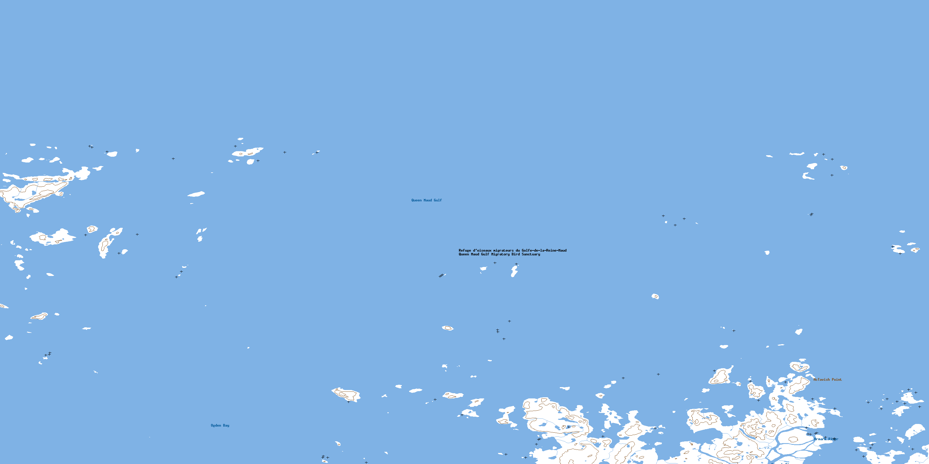
© Department of Natural Resources Canada. All rights reserved.
066N Related Maps:
066N Ogden Bay066N01 Karrak Lake
066N02 No Title
066N03 No Title
066N04 No Title
066N05 Marsh Rapids
066N06 No Title
066N07 No Title
066N08 No Title
066N09 No Title
066N10 No Title
066N11 Pitok River
066N12 Discovery Lake
066N13 Bowes Point
066N14 Mctavish Point
066N15 Johnson Point
066N16 No Title
