Red Bay Topo Map Online
Download Free Topo Map Sheet 066P14 at 1:50,000 scale
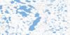
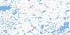
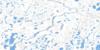
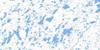
066P14 Red Bay Topo Map
To view this map, mouse over the map preview on the right.
You can also download this topo map for free:
066P14 Red Bay high-resolution topo map image.
Maps for the Red Bay topo map sheet 066P14 at 1:50,000 scale are also available in these versions:
Red Bay Surrounding Area Topo Maps
 |
 |
 |
 |
 |
 |
 |
 |
 |
 |
 |
 |
 |
 |
 |
 |
© Department of Natural Resources Canada. All rights reserved.
Red Bay Gazetteer
The following places can be found on topographic map sheet 066P14 Red Bay:
Red Bay Topo Map: Bays
Red BaySherman Basin
Trefoil Bay
Red Bay Topo Map: Capes
Adelaide PeninsulaCrane Peninsula
McCrary Isthmus
Red Bay Topo Map: Lakes
Tern LakeRed Bay Topo Map: Rivers
Weir Creek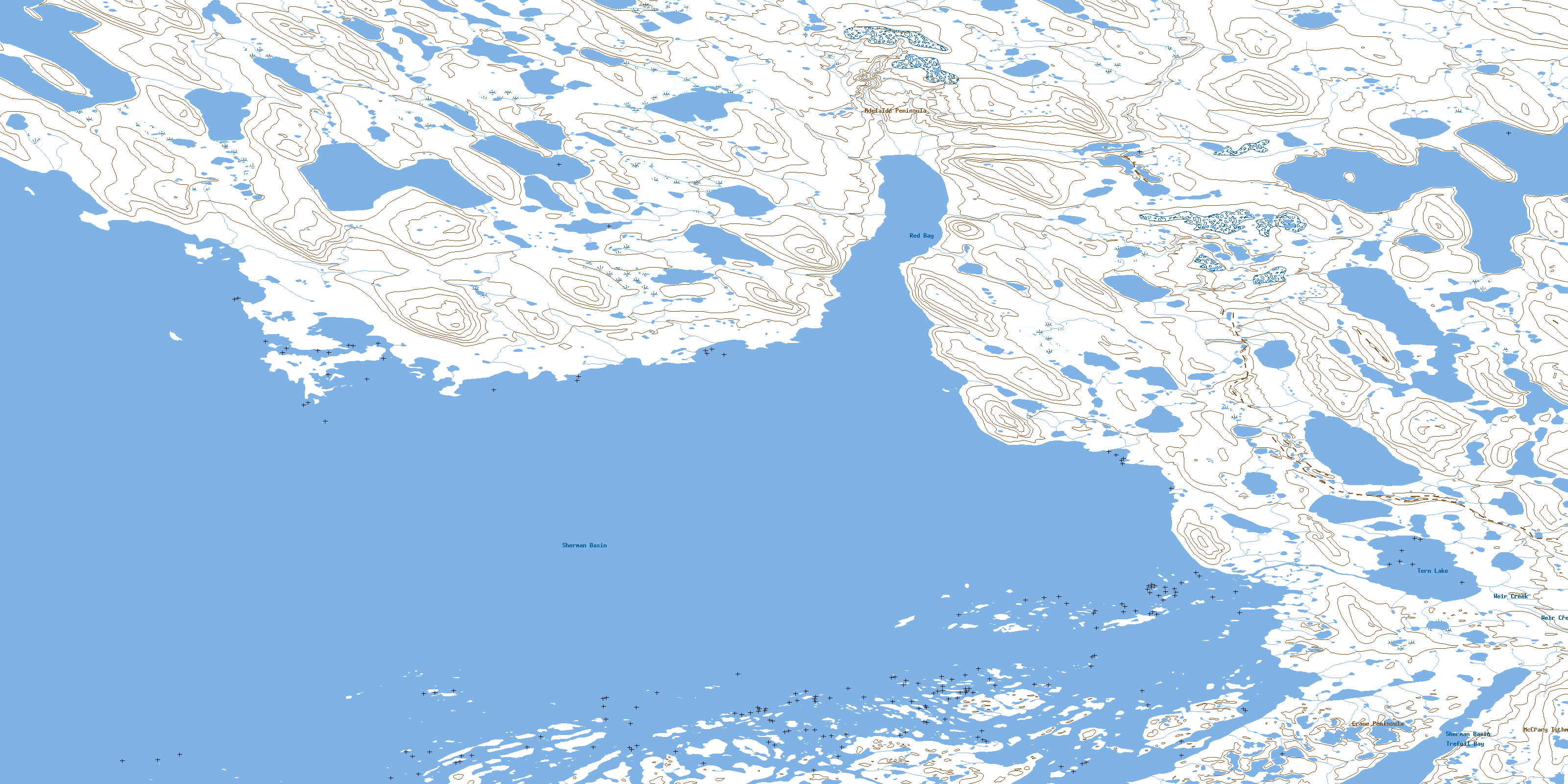
© Department of Natural Resources Canada. All rights reserved.
