Cloette Island Topo Map Online
Download Free Topo Map Sheet 067F12 at 1:50,000 scale
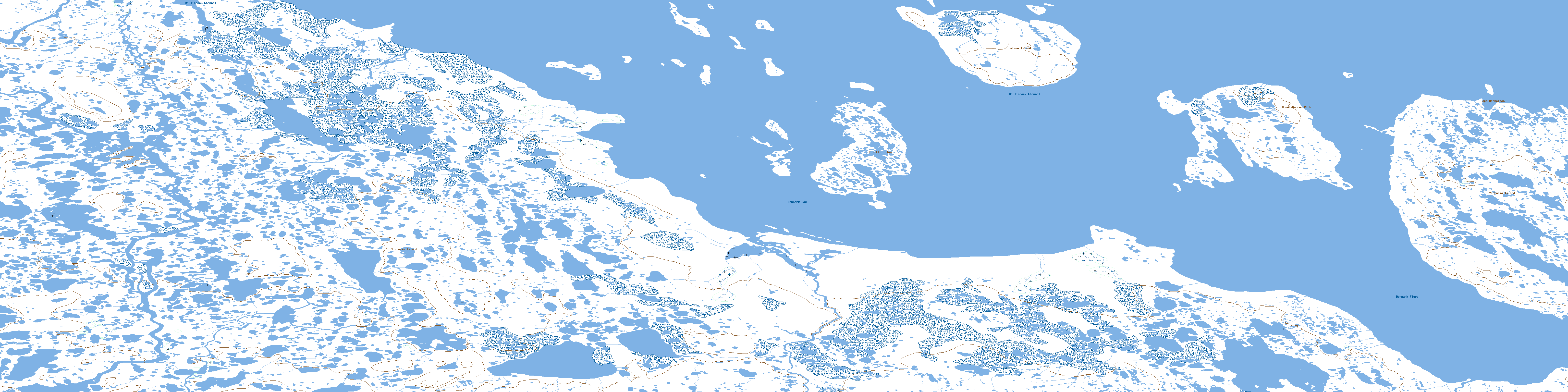
067F12 Cloette Island Topo Map
To view this map, mouse over the map preview on the right.
You can also download this topo map for free:
067F12 Cloette Island high-resolution topo map image.
Maps for the Cloette Island topo map sheet 067F12 at 1:50,000 scale are also available in these versions:
Cloette Island Surrounding Area Topo Maps
 |
|||
 |
 |
 |
|
 |
 |
 |
 |
 |
 |
 |
 |
© Department of Natural Resources Canada. All rights reserved.
Cloette Island Gazetteer
The following places can be found on topographic map sheet 067F12 Cloette Island:
Cloette Island Topo Map: Bays
Denmark BayDenmark Fiord
Cloette Island Topo Map: Capes
Cape MichelsenCloette Island Topo Map: Channels
M'Clintock ChannelCloette Island Topo Map: Islands
Cloette IslandFalsen Island
Victoria Island
Cloette Island Topo Map: Mountains
Mount Gudrun RichMount Rich
© Department of Natural Resources Canada. All rights reserved.
