Montreal River Topo Map Online
Download Free Topo Map Sheet 073I13 at 1:50,000 scale
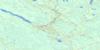
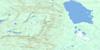
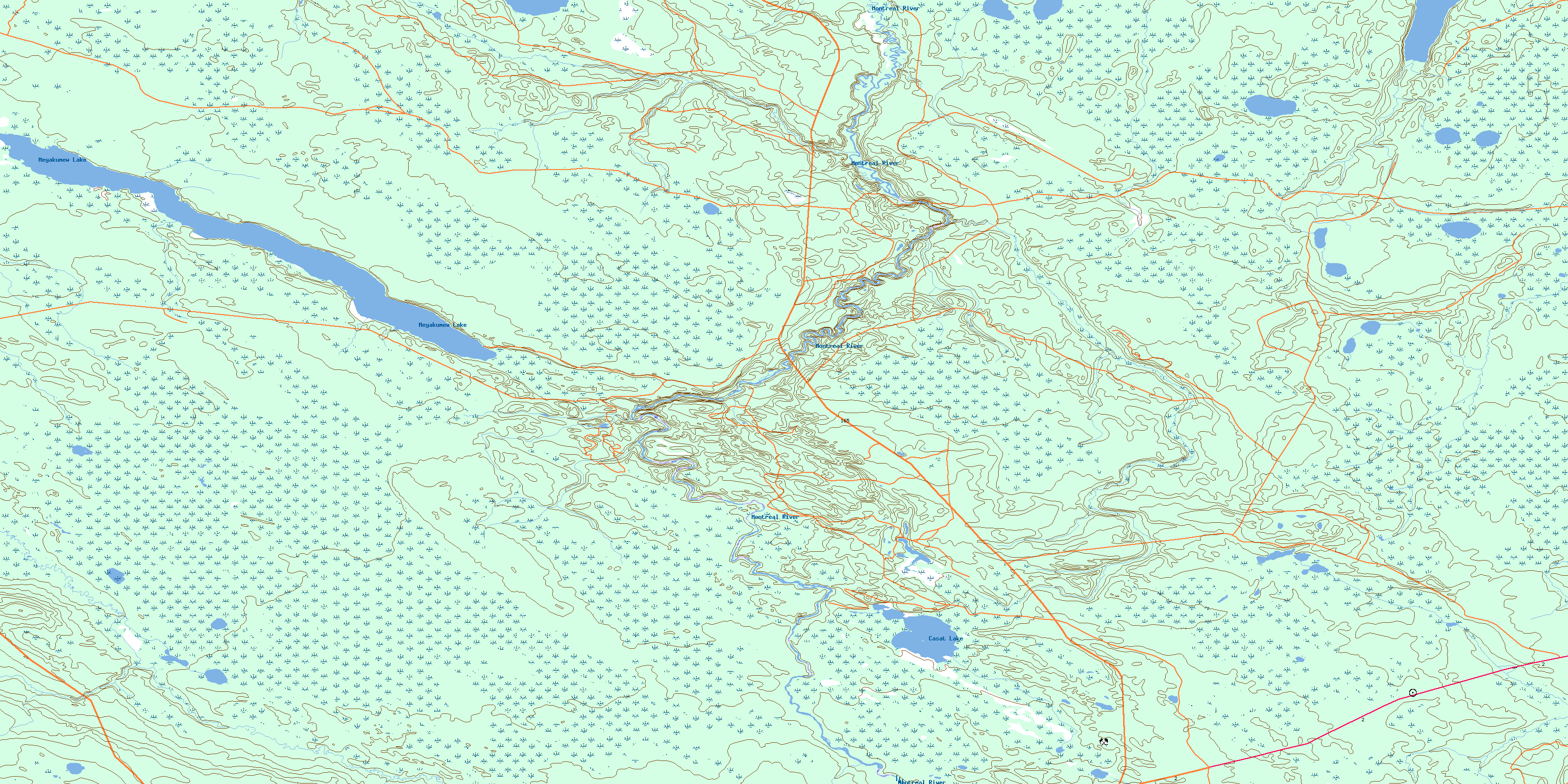
073I13 Montreal River Topo Map
To view this map, mouse over the map preview on the right.
You can also download this topo map for free:
073I13 Montreal River high-resolution topo map image.
Maps for the Montreal River topo map sheet 073I13 at 1:50,000 scale are also available in these versions:
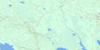
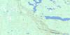
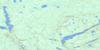
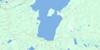
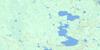
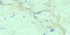
Montreal River Surrounding Area Topo Maps
 |
 |
 |
 |
 |
 |
 |
 |
 |
 |
 |
 |
 |
 |
 |
 |
© Department of Natural Resources Canada. All rights reserved.
Montreal River Gazetteer
The following places can be found on topographic map sheet 073I13 Montreal River:
Montreal River Topo Map: Bays
Gropp BayMontreal River Topo Map: Lakes
Casat LakeEgg Lake
Meyakumew Lake
Montreal River Topo Map: Rivers
Montreal RiverTwoforks River
© Department of Natural Resources Canada. All rights reserved.
073I Related Maps:
073I Wapawekka Hills073I01 Scarth River
073I02 Summit Lake
073I03 Whiteswan Lakes
073I04 Montreal Lake South
073I05 Montreal Lake North
073I06 East Trout Lake
073I07 Little Bear Lake
073I08 Big Sandy Lake
073I09 Wapawekka Hills
073I10 Wuchewun River
073I11 Meeyomoot River
073I12 Montreal Rapids
073I13 Montreal River
073I14 Potato Lake
073I15 Wapawekka Lake
073I16 Wapawekka Narrows
