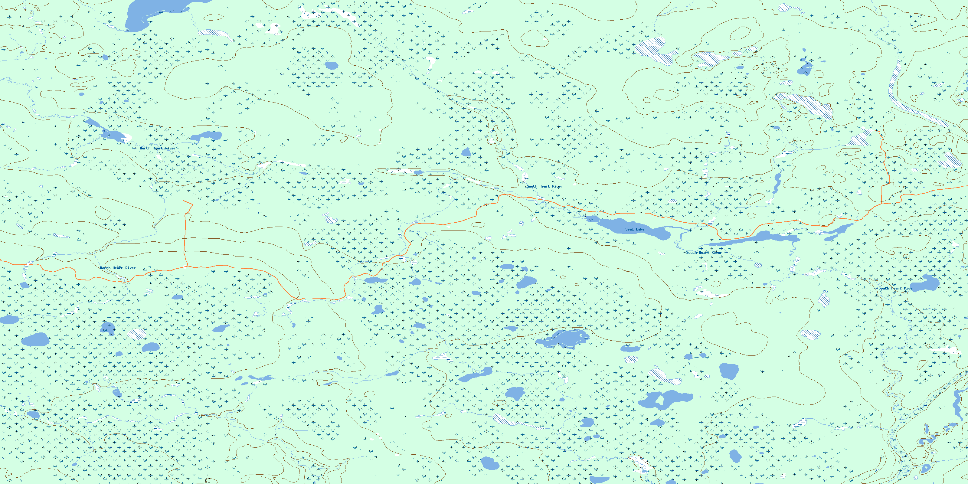
Seal Lake Topo Map Online
Download Free Topo Map Sheet 084C01 at 1:50,000 scale
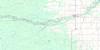
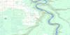
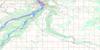
084C01 Seal Lake Topo Map
To view this map, mouse over the map preview on the right.
You can also download this topo map for free:
084C01 Seal Lake high-resolution topo map image.
Maps for the Seal Lake topo map sheet 084C01 at 1:50,000 scale are also available in these versions:
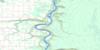
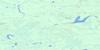
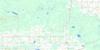
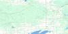
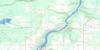
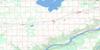
Seal Lake Surrounding Area Topo Maps
 |
 |
 |
 |
 |
 |
 |
 |
 |
 |
 |
 |
 |
 |
 |
 |
© Department of Natural Resources Canada. All rights reserved.
Seal Lake Gazetteer
The following places can be found on topographic map sheet 084C01 Seal Lake:
Seal Lake Topo Map: Lakes
Seal LakeSeal Lake Topo Map: Major municipal/district area - major agglomerations
Municipal District of Big Lakes No. 125Municipal District of East Peace No. 131
Northern Sunrise County
Seal Lake Topo Map: Rivers
North Heart RiverSouth Heart River
Seal Lake Topo Map: Unincorporated areas
Gift Lake Metis SettlementMcPherson
Utikuma Lake Metis Colony No. 3
Utikuma Lake Metis Settlement
© Department of Natural Resources Canada. All rights reserved.
084C Related Maps:
084C Peace River084C01 Seal Lake
084C02 Harmon Valley
084C03 Peace River
084C04 Grimshaw
084C05 Chinook Valley
084C06 Weberville
084C07 Simon Lakes
084C08 Cadotte Lake
084C09 Golden Lake
084C10 Cadotte River
084C11 Deadwood
084C12 Dixonville
084C13 Manning
084C14 Buchanan Creek
084C15 Jackpine Creek
084C16 Haig Lake
