Spanish Lake Topo Map Online
Download Free Topo Map Sheet 093A11 at 1:50,000 scale
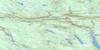
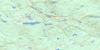
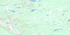
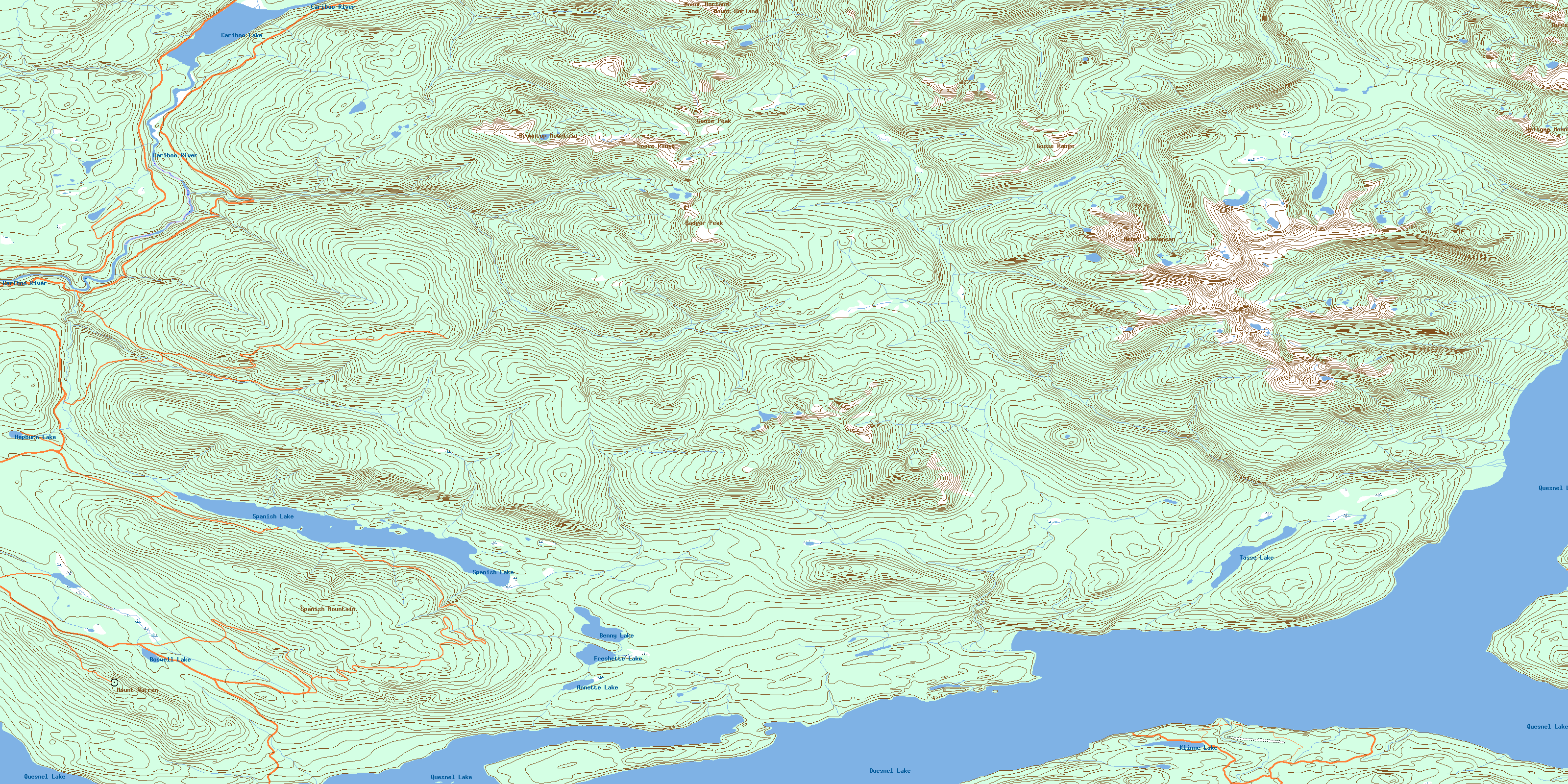
093A11 Spanish Lake Topo Map
To view this map, mouse over the map preview on the right.
You can also download this topo map for free:
093A11 Spanish Lake high-resolution topo map image.
Maps for the Spanish Lake topo map sheet 093A11 at 1:50,000 scale are also available in these versions:
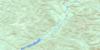
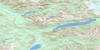
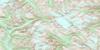
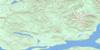
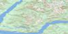
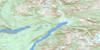
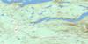
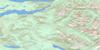
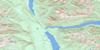
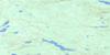
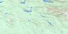
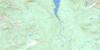
Spanish Lake Surrounding Area Topo Maps
 |
 |
 |
 |
 |
 |
 |
 |
 |
 |
 |
 |
 |
 |
 |
 |
© Department of Natural Resources Canada. All rights reserved.
Spanish Lake Gazetteer
The following places can be found on topographic map sheet 093A11 Spanish Lake:
Spanish Lake Topo Map: Bays
Faux BayHobson Arm
North Arm
Shoal Bay
Shoals Bay
Spanish Lake Topo Map: Capes
Bean PointHaggens Point
Lynx Peninsula
Ninds Point
Rocker Point
Wild Oat Point
Wildoat Point
Spanish Lake Topo Map: Islands
Beehive IslandTwain Islands
Twin Islands
Spanish Lake Topo Map: Lakes
Annette LakeBenny Lake
Boswell Lake
Cariboo Lake
Five Mile Lake
Freshette Lake
Hepburn Lake
Hobson Lake
Klinne Lake
Nina Lake
Quesnel Lake
Six Mile Lake
Spanish Lake
Tasse Lake
Spanish Lake Topo Map: Mountains
Badger PeakBrowntop Mountain
Goose Peak
Goose Range
Mount Borland
Mount Brew
Mount Stevenson
Mount Warren
Quesnel Highland
Spanish Mountain
Three Ladies Mountain
Welcome Mountain
Spanish Lake Topo Map: Major municipal/district area - major agglomerations
Cariboo Regional DistrictSpanish Lake Topo Map: Plains
Fraser PlateauInterior Plateau
Spanish Lake Topo Map: Rivers
Abbott CreekAmos Creek
Asserlind Creek
Barkers Creek
Blackbear Creek
Cariboo River
Cedar Creek
Clearbrook Creek
Collins Creek
Collinsby Creek
Devoe Creek
Frank Creek
Grain Creek
Ishkloo Creek
Keithley Creek
Klinne Creek
Long Creek
Marshall Creek
Roaring Creek
Rollie Creek
Seller Creek
Shoals Creek
Six Mile Creek
Spanish Creek
Spinks Creek
Spusks Creek
Wasko Creek
Wilby Creek
Winkley Creek
© Department of Natural Resources Canada. All rights reserved.
093A Related Maps:
093A Quesnel Lake093A01 Clearwater Lake
093A02 Mckinley Creek
093A03 Eagle (Murphy) Lake
093A04 150 Mile House
093A05 Beaver Creek
093A06 Horsefly
093A07 Mackay River
093A08 Azure Lake
093A09 Hobson Lake
093A10 Quesnel Lake
093A11 Spanish Lake
093A12 Hydraulic
093A13 Swift River
093A14 Cariboo Lake
093A15 Mitchell Lake
093A16 Mount Winder
